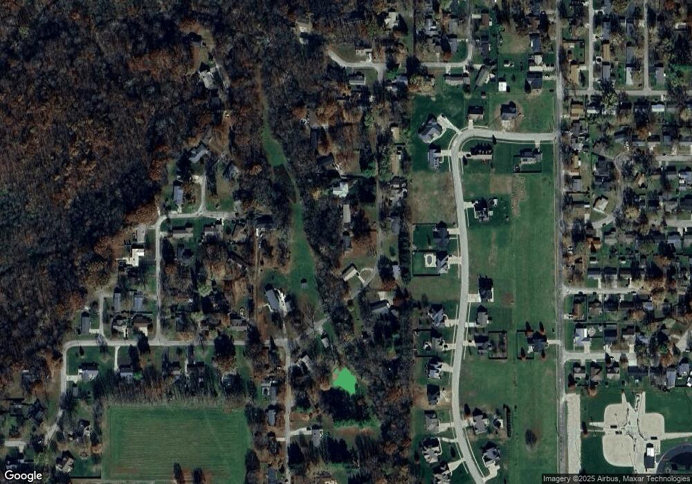
128 Mapleleaf Dr Catlin, IL 61817
Estimated Value: $114,000 - $140,039
Studio
--
Bath
--
Sq Ft
18,295
Sq Ft Lot
About This Home
This home is located at 128 Mapleleaf Dr, Catlin, IL 61817 and is currently estimated at $122,510. 128 Mapleleaf Dr is a home located in Vermilion County with nearby schools including Salt Fork North Elementary School and Salt Fork Junior High School.
Ownership History
Date
Name
Owned For
Owner Type
Purchase Details
Closed on
Nov 10, 2025
Sold by
Dempsey Glenna L Peggy
Bought by
Martin Brandon
Current Estimated Value
Home Financials for this Owner
Home Financials are based on the most recent Mortgage that was taken out on this home.
Original Mortgage
$92,000
Outstanding Balance
$92,000
Interest Rate
6.63%
Mortgage Type
New Conventional
Estimated Equity
$30,510
Create a Home Valuation Report for This Property
The Home Valuation Report is an in-depth analysis detailing your home's value as well as a comparison with similar homes in the area
Purchase History
| Date | Buyer | Sale Price | Title Company |
|---|---|---|---|
| Martin Brandon | $112,500 | None Listed On Document |
Source: Public Records
Mortgage History
| Date | Status | Borrower | Loan Amount |
|---|---|---|---|
| Open | Martin Brandon | $92,000 |
Source: Public Records
Tax History
| Year | Tax Paid | Tax Assessment Tax Assessment Total Assessment is a certain percentage of the fair market value that is determined by local assessors to be the total taxable value of land and additions on the property. | Land | Improvement |
|---|---|---|---|---|
| 2024 | $1,300 | $44,063 | $5,603 | $38,460 |
| 2023 | $1,300 | $39,771 | $5,057 | $34,714 |
| 2022 | $1,420 | $35,446 | $4,507 | $30,939 |
| 2021 | $1,479 | $33,003 | $4,196 | $28,807 |
| 2020 | $1,386 | $32,515 | $4,134 | $28,381 |
| 2019 | $1,407 | $31,828 | $4,047 | $27,781 |
| 2018 | $1,414 | $29,746 | $3,782 | $25,964 |
| 2015 | $1,485 | $27,637 | $3,514 | $24,123 |
| 2014 | $1,485 | $27,637 | $3,514 | $24,123 |
| 2013 | $1,485 | $27,637 | $3,514 | $24,123 |
Source: Public Records
Map
Nearby Homes
- 114 Mapleleaf Dr
- 16 Westwood Cir
- 106 Delmar Dr
- 605 Douglas St
- 513 N Sandusky St
- 113 Lakeview Dr
- 10 Lakeview Dr
- 105 Prairie St
- 118 Mauck Ln
- 196 S Henning Rd
- 176 S Henning Rd
- 0 Unit 6256631
- 300 Spelter Ave
- 300 Spelter Ave Unit 79
- 208 S H St
- 1825 S Monroe St
- 708 Glendale Ave
- 709 Dellwood St
- 314 W Williams St
- 307 North St
- 126 Mapleleaf Dr
- 130 Mapleleaf Dr
- 125 Mapleleaf Dr
- 121 Mapleleaf Dr
- 132 Mapleleaf Dr
- 127 Mapleleaf Dr
- 101 Kenfield Dr
- 130 Westwood Cir
- 134 Mapleleaf Dr
- 122 Mapleleaf Dr
- 103 Kenfield Dr
- 124 Mapleleaf Dr
- 124 Westwood Cir
- 136 Westwood Cir
- 102 Ray Ct
- 106 Drew Ct
- 131 Mapleleaf Dr
- 0 Westwood Cir Unit D193651
- LOT 35 Westwood Cir
- 132 Westwood Cir
Your Personal Tour Guide
Ask me questions while you tour the home.