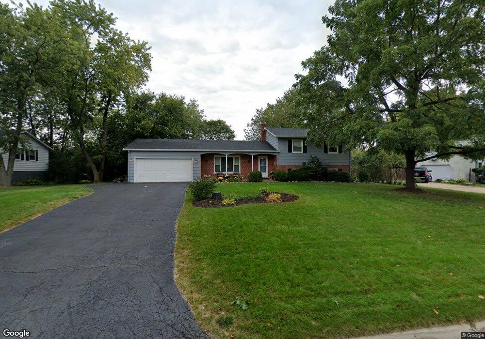
128 Mayflower Dr Batavia, IL 60510
Woodland Hills NeighborhoodEstimated Value: $334,572 - $386,000
3
Beds
--
Bath
1,227
Sq Ft
$301/Sq Ft
Est. Value
About This Home
This home is located at 128 Mayflower Dr, Batavia, IL 60510 and is currently estimated at $369,893, approximately $301 per square foot. 128 Mayflower Dr is a home located in Kane County with nearby schools including J B Nelson Elementary School, Sam Rotolo Middle School, and Batavia Sr High School.
Ownership History
Date
Name
Owned For
Owner Type
Purchase Details
Closed on
Jan 16, 2004
Sold by
Leonhard John K and Leonhard Tracy L
Bought by
True Shawn C and True Diana C
Current Estimated Value
Home Financials for this Owner
Home Financials are based on the most recent Mortgage that was taken out on this home.
Original Mortgage
$201,150
Interest Rate
5.91%
Mortgage Type
Balloon
Create a Home Valuation Report for This Property
The Home Valuation Report is an in-depth analysis detailing your home's value as well as a comparison with similar homes in the area
Home Values in the Area
Average Home Value in this Area
Purchase History
| Date | Buyer | Sale Price | Title Company |
|---|---|---|---|
| True Shawn C | $223,500 | Multiple |
Source: Public Records
Mortgage History
| Date | Status | Borrower | Loan Amount |
|---|---|---|---|
| Closed | True Shawn C | $201,150 |
Source: Public Records
Tax History Compared to Growth
Tax History
| Year | Tax Paid | Tax Assessment Tax Assessment Total Assessment is a certain percentage of the fair market value that is determined by local assessors to be the total taxable value of land and additions on the property. | Land | Improvement |
|---|---|---|---|---|
| 2024 | $7,459 | $102,338 | $18,664 | $83,674 |
| 2023 | $6,973 | $89,267 | $16,940 | $72,327 |
| 2022 | $5,991 | $74,610 | $15,832 | $58,778 |
| 2021 | $5,741 | $70,760 | $15,015 | $55,745 |
| 2020 | $5,595 | $69,399 | $14,726 | $54,673 |
| 2019 | $5,496 | $66,943 | $14,205 | $52,738 |
| 2018 | $5,269 | $64,393 | $13,664 | $50,729 |
| 2017 | $5,134 | $62,269 | $13,213 | $49,056 |
| 2016 | $5,018 | $60,455 | $12,828 | $47,627 |
| 2015 | -- | $59,079 | $12,536 | $46,543 |
| 2014 | -- | $57,219 | $12,141 | $45,078 |
| 2013 | -- | $59,459 | $15,261 | $44,198 |
Source: Public Records
Map
Nearby Homes
- 133 Mayflower Dr
- 1384 Foxglove Dr
- 1285 Foxglove Dr
- 1283 Foxglove Dr
- 4 Mayflower Dr
- 1277 Foxglove Dr
- 1273 Foxglove Dr
- 1267 Foxglove Dr
- 1025 E Wilson St
- 817 Woodland Hills Rd
- Lot 1 Center St
- 1136 Pine Ct
- 943 Orchard Ct
- 637 E Wilson St
- 1017 Willow Ln Unit 2
- 621 Young Ave
- 428 E Wilson St
- 1332 Giese Rd Unit 2
- 129 S Prairie St
- 570 Ozier Dr
- 118 Mayflower Dr
- 138 Mayflower Dr
- 146 Mayflower Dr
- 108 Mayflower Dr
- 123 Mayflower Dr
- 113 Mayflower Dr
- 1321 Foxglove Dr
- 1396 Foxglove Dr
- 1398 Foxglove Dr
- 54 Mayflower Dr
- 103 Mayflower Dr
- 1382 Foxglove Dr
- 1380 Foxglove Dr
- 1386 Foxglove Dr
- 1378 Foxglove Dr
- 44 Mayflower Dr
- 51 Mayflower Dr
- 1328 Foxglove Dr
- 128 Woodland Hills Rd
- 1305 Foxglove Dr