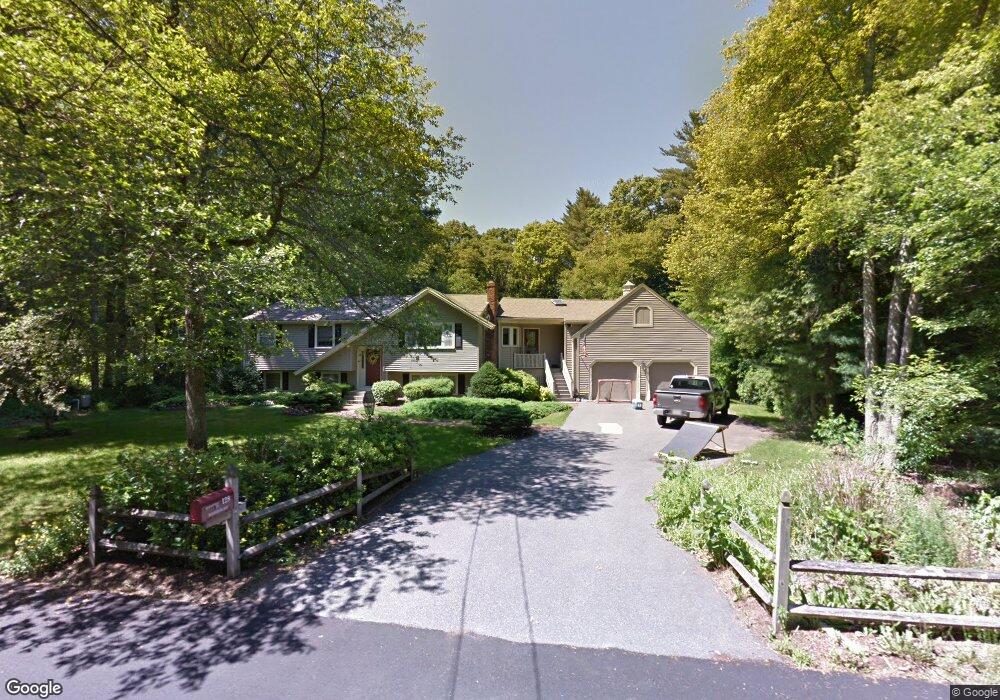
128 Meadowbrook Rd Hanover, MA 02339
Estimated Value: $629,000 - $856,000
3
Beds
2
Baths
1,822
Sq Ft
$430/Sq Ft
Est. Value
About This Home
This home is located at 128 Meadowbrook Rd, Hanover, MA 02339 and is currently estimated at $784,114, approximately $430 per square foot. 128 Meadowbrook Rd is a home located in Plymouth County with nearby schools including Hanover High School, South Shore Charter Public School, and Norwell KinderCare.
Ownership History
Date
Name
Owned For
Owner Type
Purchase Details
Closed on
Sep 4, 2001
Sold by
Joy Carol A
Bought by
Joy Edward W and Joy Deborah Ann
Current Estimated Value
Home Financials for this Owner
Home Financials are based on the most recent Mortgage that was taken out on this home.
Original Mortgage
$81,000
Interest Rate
7.06%
Mortgage Type
Purchase Money Mortgage
Create a Home Valuation Report for This Property
The Home Valuation Report is an in-depth analysis detailing your home's value as well as a comparison with similar homes in the area
Home Values in the Area
Average Home Value in this Area
Purchase History
| Date | Buyer | Sale Price | Title Company |
|---|---|---|---|
| Joy Edward W | $212,569 | -- | |
| Joy Edward W | $212,569 | -- |
Source: Public Records
Mortgage History
| Date | Status | Borrower | Loan Amount |
|---|---|---|---|
| Open | Joy Edward W | $100,000 | |
| Closed | Joy Edward W | $60,000 | |
| Closed | Joy Edward W | $81,000 |
Source: Public Records
Tax History
| Year | Tax Paid | Tax Assessment Tax Assessment Total Assessment is a certain percentage of the fair market value that is determined by local assessors to be the total taxable value of land and additions on the property. | Land | Improvement |
|---|---|---|---|---|
| 2025 | $8,738 | $707,500 | $277,800 | $429,700 |
| 2024 | $8,702 | $677,700 | $277,800 | $399,900 |
| 2023 | $8,821 | $653,900 | $252,600 | $401,300 |
| 2022 | $8,903 | $583,800 | $252,600 | $331,200 |
| 2021 | $8,560 | $524,200 | $229,800 | $294,400 |
| 2020 | $8,495 | $519,100 | $229,800 | $289,300 |
| 2019 | $8,471 | $478,600 | $229,800 | $248,800 |
| 2018 | $7,810 | $479,700 | $229,800 | $249,900 |
| 2017 | $7,540 | $456,400 | $215,100 | $241,300 |
| 2016 | $7,363 | $436,700 | $195,400 | $241,300 |
| 2015 | $6,328 | $391,800 | $195,400 | $196,400 |
Source: Public Records
Map
Nearby Homes
- 776 Main St
- 44 Stone Meadow Ln
- 535 Webster St
- 47 Stone Meadow Ln
- 53 Chestnut St
- 46 Brookwood Rd
- 506 Main St
- 73 Shingle Mill Ln
- 62 Larchmont Ln
- 36 Bayberry Ln
- 49 Washington Park Dr
- 18 Winterberry Ln
- 7 Assinippi Ave Unit 205
- 7 Assinippi Ave Unit 306
- 50 Village Ln
- 164 Main St
- 214 Washington St Unit 24
- 214 Washington St Unit 28
- 5 Blueberry Ct
- 8 Blueberry Ct
- 140 Meadowbrook Rd
- 116 Meadowbrook Rd
- 125 Meadowbrook Rd
- 137 Meadowbrook Rd
- 152 Meadowbrook Rd
- 111 Meadowbrook Rd
- 149 Meadowbrook Rd
- 104 Meadowbrook Rd
- 135 Manns Dr
- 123 Manns Dr
- 99 Meadowbrook Rd
- 111 Manns Dr
- 164 Meadowbrook Rd
- 92 Meadowbrook Rd
- 153 Manns Dr
- 161 Meadowbrook Rd
- 87 Meadowbrook Rd
- 103 Manns Dr
- 173 Manns Dr
- 178 Meadowbrook Rd
Your Personal Tour Guide
Ask me questions while you tour the home.