Estimated Value: $321,000 - $390,372
Studio
1
Bath
1,591
Sq Ft
$224/Sq Ft
Est. Value
About This Home
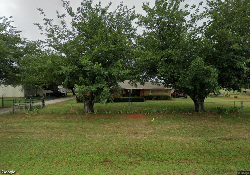
This home is located at 128 N Fm 730, Boyd, TX 76023 and is currently estimated at $355,686, approximately $223 per square foot. 128 N Fm 730 is a home located in Wise County with nearby schools including Boyd Elementary School, Boyd Middle School, and Boyd High School.
Ownership History
Date
Name
Owned For
Owner Type
Purchase Details
Closed on
Jul 21, 2017
Sold by
Neighbors Construction Llc
Bought by
Neighbors Danney
Current Estimated Value
Home Financials for this Owner
Home Financials are based on the most recent Mortgage that was taken out on this home.
Original Mortgage
$89,964
Outstanding Balance
$74,745
Interest Rate
3.89%
Mortgage Type
Land Contract Argmt. Of Sale
Estimated Equity
$280,941
Purchase Details
Closed on
Mar 14, 2011
Sold by
Gales Teddy Gene and Gales Lanaruth
Bought by
Gales Teddy Gene and Gales Lana Ruth
Purchase Details
Closed on
Oct 28, 2010
Sold by
Gales Teddy Gene and Gales Lana Ruth
Bought by
Gales Teddy Gene and Gales Lana Ruth
Purchase Details
Closed on
Jun 11, 2010
Sold by
Gales Teddy Gene and Gales Lana Ruth
Bought by
Gales Revocable Trust
Create a Home Valuation Report for This Property
The Home Valuation Report is an in-depth analysis detailing your home's value as well as a comparison with similar homes in the area
Home Values in the Area
Average Home Value in this Area
Purchase History
| Date | Buyer | Sale Price | Title Company |
|---|---|---|---|
| Neighbors Danney | -- | None Available | |
| Gales Teddy Gene | -- | -- | |
| Gales Teddy Gene | -- | -- | |
| Gales Revocable Trust | -- | -- |
Source: Public Records
Mortgage History
| Date | Status | Borrower | Loan Amount |
|---|---|---|---|
| Open | Neighbors Danney | $89,964 |
Source: Public Records
Tax History
| Year | Tax Paid | Tax Assessment Tax Assessment Total Assessment is a certain percentage of the fair market value that is determined by local assessors to be the total taxable value of land and additions on the property. | Land | Improvement |
|---|---|---|---|---|
| 2025 | $2,441 | $437,462 | -- | -- |
| 2024 | $2,441 | $397,463 | -- | -- |
| 2023 | $6,635 | $357,651 | $0 | $0 |
| 2022 | $6,977 | $325,137 | $0 | $0 |
| 2021 | $6,512 | $304,910 | $150,940 | $153,970 |
| 2020 | $5,941 | $299,640 | $150,940 | $148,700 |
| 2019 | $5,558 | $245,530 | $98,110 | $147,420 |
| 2018 | $4,951 | $212,580 | $75,470 | $137,110 |
| 2017 | $4,853 | $205,360 | $75,470 | $129,890 |
| 2016 | $4,412 | $184,230 | $75,470 | $108,760 |
| 2015 | -- | $184,480 | $75,470 | $109,010 |
| 2014 | -- | $179,410 | $75,470 | $103,940 |
Source: Public Records
Map
Nearby Homes
- TBD E Rock Island Ave
- 407 E Boyd Ave
- 525 Highway 114 Rd
- 405 E Boyd Ave
- 403 E Boyd Ave
- 448 Mcalpine
- 213 S Allen St
- 18 Acres Highway 114 Rd
- 112 S Evans St
- 3397 2048 Hwy
- 306 N Agnew St
- TBD S Ewing St
- 108 N Agnew St
- 100 N Agnew St
- 579 S Hitt St
- 449 W Dunlap Ave
- 405 Edgewood Terrace
- TBD Abel Ln
- 219 County Rd
- 162 Greengate Dr
- 132 N Fm 730
- 529 E Rock Island Ave
- 529 E Rock Island Ave
- 537 E Rock Island Ave
- 539 E Rock Island Ave
- 90 N Fm 730 Unit 730
- 119 N Wilson St
- 525 E State Highway 114
- 109 N Wilson St
- 730 E Rock Island Ave
- 143 N Fm 730
- 101 N Wilson St
- 110 N Wilson St
- 538 E Rock Island Ave
- 536 E Rock Island Ave
- 118 N Wilson St
- 201 N Wilson St
- 112 Po Box
- 112 N Wilson St
- 105 S Wilson St Unit C
Your Personal Tour Guide
Ask me questions while you tour the home.