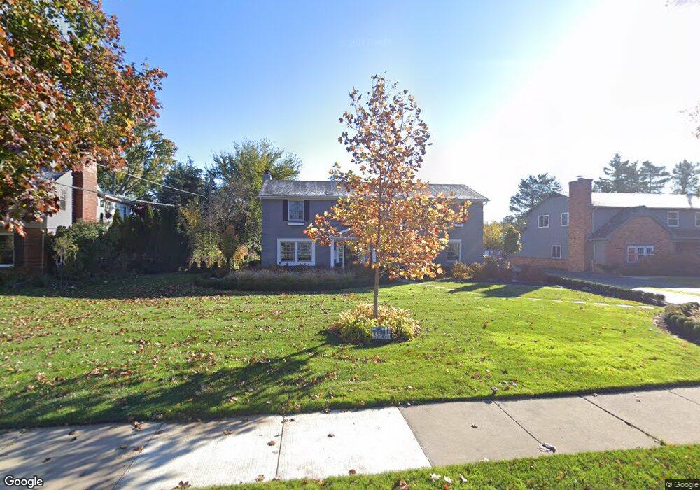
128 N Glengarry Rd Bloomfield Hills, MI 48301
Estimated Value: $846,324 - $1,222,000
4
Beds
4
Baths
2,828
Sq Ft
$370/Sq Ft
Est. Value
About This Home
This home is located at 128 N Glengarry Rd, Bloomfield Hills, MI 48301 and is currently estimated at $1,045,331, approximately $369 per square foot. 128 N Glengarry Rd is a home located in Oakland County with nearby schools including Quarton Elementary, Derby Middle School, and Ernest W. Seaholm High School.
Ownership History
Date
Name
Owned For
Owner Type
Purchase Details
Closed on
Aug 31, 2007
Sold by
Wilkinson Mark E and Wilkinson Katherine A
Bought by
Lennon Edward G and Brennan Mary Ellen
Current Estimated Value
Purchase Details
Closed on
Dec 18, 1997
Sold by
Tennett Katherine A
Bought by
Wilkinson Mark E
Purchase Details
Closed on
Feb 20, 1997
Sold by
Wilkinson Mark E
Bought by
Tennent Katherine A
Create a Home Valuation Report for This Property
The Home Valuation Report is an in-depth analysis detailing your home's value as well as a comparison with similar homes in the area
Home Values in the Area
Average Home Value in this Area
Purchase History
| Date | Buyer | Sale Price | Title Company |
|---|---|---|---|
| Lennon Edward G | $587,000 | Landam-Shield | |
| Wilkinson Mark E | -- | -- | |
| Tennent Katherine A | -- | -- |
Source: Public Records
Tax History Compared to Growth
Tax History
| Year | Tax Paid | Tax Assessment Tax Assessment Total Assessment is a certain percentage of the fair market value that is determined by local assessors to be the total taxable value of land and additions on the property. | Land | Improvement |
|---|---|---|---|---|
| 2024 | $4,949 | $396,620 | $0 | $0 |
| 2023 | $4,749 | $352,720 | $0 | $0 |
| 2022 | $8,374 | $325,680 | $0 | $0 |
| 2021 | $8,444 | $335,960 | $0 | $0 |
| 2020 | $4,562 | $328,990 | $0 | $0 |
| 2019 | $8,418 | $321,170 | $0 | $0 |
| 2018 | $8,328 | $305,360 | $0 | $0 |
| 2017 | $8,328 | $297,120 | $0 | $0 |
| 2016 | $8,376 | $288,060 | $0 | $0 |
| 2015 | -- | $273,350 | $0 | $0 |
| 2014 | -- | $249,480 | $0 | $0 |
| 2011 | -- | $176,110 | $0 | $0 |
Source: Public Records
Map
Nearby Homes
- 397 S Cranbrook Rd
- 2579 Amberly Rd
- 100 Overhill Rd
- 120 Westchester Way
- 394 S Glenhurst Dr
- 2802 Heathfield Rd
- 345 Kimberly St
- 3320 Morningview Terrace
- 1834 Fairview St
- 1019 N Cranbrook Rd
- 2721 Heathfield Rd
- 231 Wadsworth Ln
- 1882 Melbourne St
- 786 S Cranbrook Rd
- 695 Westchester Way
- 956 Westwood Dr
- 520 Pleasant St
- 586 Fairfax St
- 2330 Fairway Dr
- 222 Arlington St
- 128 N Glengarry Rd
- 148 N Glengarry Rd
- 110 N Glengarry Rd
- 110 N Glengarry Rd
- 131 N Cranbrook Rd
- 164 N Glengarry Rd
- 111 N Glengarry Rd
- 111 N Glengarry Rd
- 187 N Cranbrook Rd
- 151 N Glengarry Rd
- 182 N Glengarry Rd
- 2517 Bradway Blvd
- 173 N Glengarry Rd
- 111 S Glengarry Rd
- 2531 Bradway Blvd
- 120 N Williamsbury Rd
- 185 N Glengarry Rd
- 148 N Williamsbury Rd
- 208 N Glengarry Rd
- 150 N Cranbrook Rd