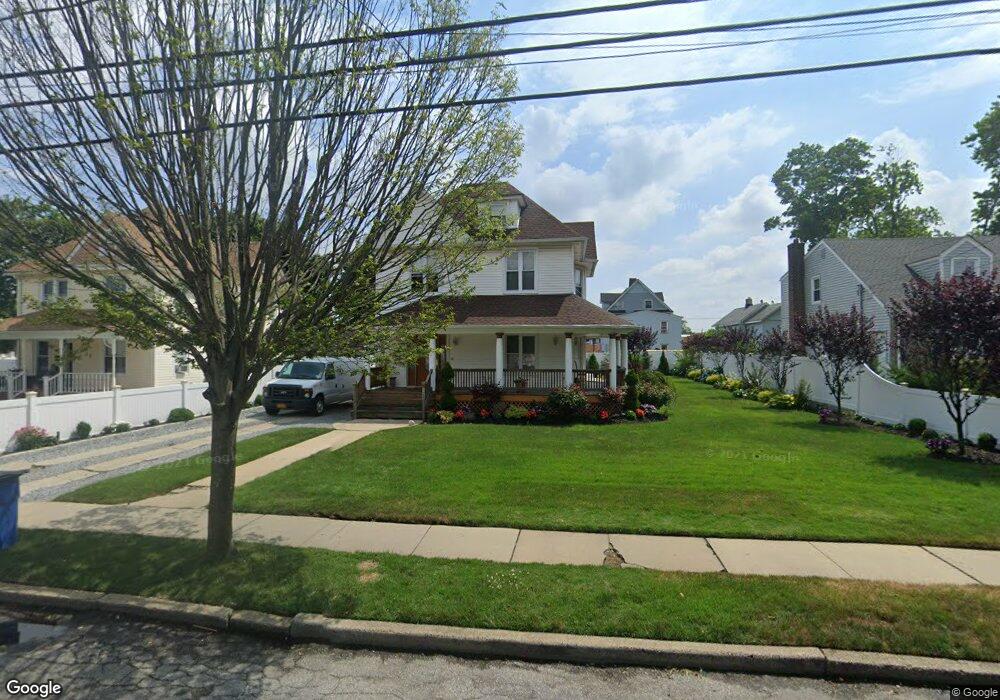
128 N Grove St Freeport, NY 11520
Estimated Value: $735,952 - $776,000
4
Beds
2
Baths
1,999
Sq Ft
$378/Sq Ft
Est. Value
About This Home
This home is located at 128 N Grove St, Freeport, NY 11520 and is currently estimated at $755,976, approximately $378 per square foot. 128 N Grove St is a home located in Nassau County with nearby schools including Caroline G. Atkinson Intermediate School, Columbus Avenue School, and John W Dodd Middle School.
Ownership History
Date
Name
Owned For
Owner Type
Purchase Details
Closed on
May 29, 2013
Sold by
Henson Sollisa and Henson Lamar
Bought by
Mata Pastor and Mata Sabina
Current Estimated Value
Purchase Details
Closed on
Aug 22, 1996
Sold by
Lisi Louise
Bought by
Henson Sollisa and Henson Lamar
Home Financials for this Owner
Home Financials are based on the most recent Mortgage that was taken out on this home.
Original Mortgage
$153,170
Interest Rate
8.11%
Create a Home Valuation Report for This Property
The Home Valuation Report is an in-depth analysis detailing your home's value as well as a comparison with similar homes in the area
Home Values in the Area
Average Home Value in this Area
Purchase History
| Date | Buyer | Sale Price | Title Company |
|---|---|---|---|
| Mata Pastor | $165,000 | First American Title Insuran | |
| Henson Sollisa | $155,250 | -- |
Source: Public Records
Mortgage History
| Date | Status | Borrower | Loan Amount |
|---|---|---|---|
| Previous Owner | Henson Sollisa | $153,170 |
Source: Public Records
Tax History
| Year | Tax Paid | Tax Assessment Tax Assessment Total Assessment is a certain percentage of the fair market value that is determined by local assessors to be the total taxable value of land and additions on the property. | Land | Improvement |
|---|---|---|---|---|
| 2025 | $9,315 | $483 | $155 | $328 |
| 2024 | $889 | $480 | $154 | $326 |
| 2023 | $9,346 | $478 | $176 | $302 |
| 2022 | $9,346 | $451 | $163 | $288 |
| 2021 | $12,210 | $456 | $165 | $291 |
| 2020 | $7,885 | $507 | $406 | $101 |
| 2019 | $7,461 | $543 | $414 | $129 |
| 2018 | $7,863 | $495 | $0 | $0 |
| 2017 | $6,607 | $549 | $435 | $114 |
| 2016 | $7,431 | $549 | $326 | $223 |
| 2015 | $1,057 | $732 | $435 | $297 |
| 2014 | $1,057 | $732 | $435 | $297 |
| 2013 | $999 | $732 | $435 | $297 |
Source: Public Records
Map
Nearby Homes
- 70 N Grove St Unit 1N
- 70 N Grove St Unit 1R
- 115 N Bergen Place
- 67 E Dean St
- 27 W Woodbine Dr
- 99 Randall Ave Unit 1Q
- 101 Wallace St
- 35 W Seaman Ave
- 120 Lena Ave
- 161 Wallace St
- 63 E Seaman Ave
- 101 Harris Ave
- 26 Rosedale Ave
- 60 Connecticut Ave
- 98 N Columbus Ave
- 96 N Columbus Ave
- 55 S Bergen Place Unit 3F
- 247 N Columbus Ave
- 58 Rutland Rd
- 70 S Main St Unit 307-PH
Your Personal Tour Guide
Ask me questions while you tour the home.