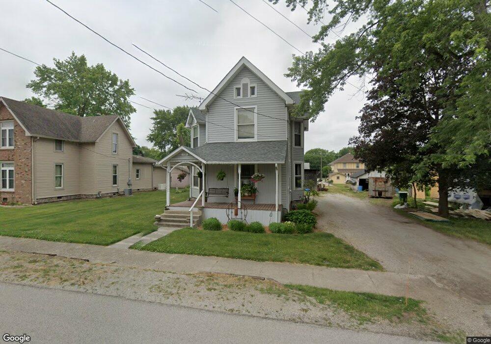
128 N Main St Mulberry, IN 46058
Estimated Value: $162,000 - $264,000
--
Bed
--
Bath
1,892
Sq Ft
$109/Sq Ft
Est. Value
About This Home
This home is located at 128 N Main St, Mulberry, IN 46058 and is currently estimated at $207,155, approximately $109 per square foot. 128 N Main St is a home with nearby schools including Clinton Prairie Elementary School and Clinton Prairie Junior/Senior High School.
Ownership History
Date
Name
Owned For
Owner Type
Purchase Details
Closed on
Dec 13, 2024
Sold by
Michael D Devore Trust and Kistler Amanda M
Bought by
Salem Nancy A
Current Estimated Value
Home Financials for this Owner
Home Financials are based on the most recent Mortgage that was taken out on this home.
Original Mortgage
$161,500
Outstanding Balance
$160,230
Interest Rate
6.79%
Mortgage Type
New Conventional
Estimated Equity
$46,925
Purchase Details
Closed on
Jul 30, 2024
Sold by
Devore Michael D
Bought by
Michael D Devore Trust and Devore
Create a Home Valuation Report for This Property
The Home Valuation Report is an in-depth analysis detailing your home's value as well as a comparison with similar homes in the area
Home Values in the Area
Average Home Value in this Area
Purchase History
| Date | Buyer | Sale Price | Title Company |
|---|---|---|---|
| Salem Nancy A | -- | None Listed On Document | |
| Salem Nancy A | $170,000 | None Listed On Document | |
| Michael D Devore Trust | -- | None Listed On Document |
Source: Public Records
Mortgage History
| Date | Status | Borrower | Loan Amount |
|---|---|---|---|
| Open | Salem Nancy A | $161,500 | |
| Closed | Salem Nancy A | $161,500 |
Source: Public Records
Tax History Compared to Growth
Tax History
| Year | Tax Paid | Tax Assessment Tax Assessment Total Assessment is a certain percentage of the fair market value that is determined by local assessors to be the total taxable value of land and additions on the property. | Land | Improvement |
|---|---|---|---|---|
| 2024 | $1,448 | $148,000 | $12,700 | $135,300 |
| 2023 | $1,259 | $137,000 | $12,700 | $124,300 |
| 2022 | $1,083 | $137,000 | $12,700 | $124,300 |
| 2021 | $981 | $118,400 | $12,700 | $105,700 |
| 2020 | $800 | $102,300 | $12,700 | $89,600 |
| 2019 | $520 | $82,400 | $12,700 | $69,700 |
| 2018 | $438 | $82,400 | $12,700 | $69,700 |
| 2017 | $417 | $81,400 | $12,700 | $68,700 |
| 2016 | $312 | $69,200 | $11,500 | $57,700 |
| 2014 | $239 | $71,900 | $11,500 | $60,400 |
Source: Public Records
Map
Nearby Homes
- 220 E Jackson St
- TBD 38
- County Road 500 W
- 318 N Main St
- 414 E Jackson St
- 318 S Clinton St
- 409 S Main St
- 605 E Jackson St
- 504 Funk St
- 610 Center St
- 500 S Madison St
- 0 County Rd 700 W Lot 3 Rd Unit 202519392
- 0 County Rd 700 W Lot 2 Rd Unit 202519391
- 8553 Valley Farm Rd
- 10870 E State Road 38
- 6767 W Gas Line Rd
- 7255 W Mulberry Jefferson Rd
- N N Co Road 900 W
- 3505 S 1050 E
- 5979 State Route 38