128 Patrick Rd Tewksbury, MA 01876
Estimated Value: $495,000 - $511,000
2
Beds
2
Baths
1,240
Sq Ft
$405/Sq Ft
Est. Value
About This Home
This home is located at 128 Patrick Rd, Tewksbury, MA 01876 and is currently estimated at $502,779, approximately $405 per square foot. 128 Patrick Rd is a home located in Middlesex County with nearby schools including John W. Wynn Middle School, John F. Ryan Elementary School, and Tewksbury Memorial High School.
Ownership History
Date
Name
Owned For
Owner Type
Purchase Details
Closed on
Mar 18, 2020
Sold by
Quercia Jane M
Bought by
Quercia Ft
Current Estimated Value
Purchase Details
Closed on
Jul 16, 2003
Sold by
Patrick Road Rt
Bought by
Quercia Jane M
Purchase Details
Closed on
Oct 9, 1997
Sold by
Buonarosa Gary J
Bought by
Griffin Jane M and Quercia Louis S
Home Financials for this Owner
Home Financials are based on the most recent Mortgage that was taken out on this home.
Original Mortgage
$90,000
Interest Rate
7.52%
Mortgage Type
Purchase Money Mortgage
Purchase Details
Closed on
Feb 3, 1987
Sold by
F I C Assoc Inc
Bought by
Buonarosa Gary J
Home Financials for this Owner
Home Financials are based on the most recent Mortgage that was taken out on this home.
Original Mortgage
$109,600
Interest Rate
9.26%
Mortgage Type
Purchase Money Mortgage
Create a Home Valuation Report for This Property
The Home Valuation Report is an in-depth analysis detailing your home's value as well as a comparison with similar homes in the area
Home Values in the Area
Average Home Value in this Area
Purchase History
| Date | Buyer | Sale Price | Title Company |
|---|---|---|---|
| Quercia Ft | -- | None Available | |
| Quercia Jane M | -- | -- | |
| Griffin Jane M | $113,000 | -- | |
| Buonarosa Gary J | $137,000 | -- |
Source: Public Records
Mortgage History
| Date | Status | Borrower | Loan Amount |
|---|---|---|---|
| Previous Owner | Buonarosa Gary J | $89,000 | |
| Previous Owner | Buonarosa Gary J | $90,000 | |
| Previous Owner | Buonarosa Gary J | $109,600 |
Source: Public Records
Tax History Compared to Growth
Tax History
| Year | Tax Paid | Tax Assessment Tax Assessment Total Assessment is a certain percentage of the fair market value that is determined by local assessors to be the total taxable value of land and additions on the property. | Land | Improvement |
|---|---|---|---|---|
| 2025 | $5,696 | $430,900 | $0 | $430,900 |
| 2024 | $5,418 | $404,600 | $0 | $404,600 |
| 2023 | $5,327 | $377,800 | $0 | $377,800 |
| 2022 | $4,765 | $313,500 | $0 | $313,500 |
| 2021 | $4,667 | $296,900 | $0 | $296,900 |
| 2020 | $4,634 | $290,200 | $0 | $290,200 |
| 2019 | $4,090 | $258,200 | $0 | $258,200 |
| 2018 | $3,912 | $242,500 | $0 | $242,500 |
| 2017 | $3,673 | $225,200 | $0 | $225,200 |
| 2016 | $3,486 | $213,200 | $0 | $213,200 |
| 2015 | $3,127 | $191,000 | $0 | $191,000 |
| 2014 | $2,979 | $184,900 | $0 | $184,900 |
Source: Public Records
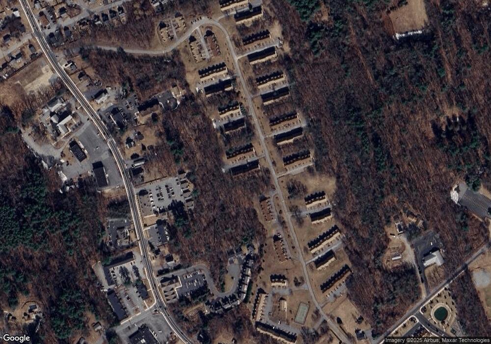
Map
Nearby Homes
- 134 Patrick Rd
- 111 Patrick Rd Unit 111
- 61 Patrick Rd
- 72 Patrick Rd Unit 72
- 1455 Main St Unit 8
- 1455 Main St Unit 4
- 1455 Main St Unit 10
- 11 Orchard St
- 1325 Main
- 548 Chandler St
- 6 Stonebury Way Unit 6
- 6 Coburn Ave
- 8 Boisvert Rd
- 13 Berkeley
- 93 Fairway Dr
- 127 Caddy Ct
- 100 Pleasant St Unit 14
- 16 Eagle Dr
- 51 Nolan Ct Unit 51
- 109 Apache Way
- 127 Patrick Rd
- 126 Patrick Rd
- 125 Patrick Rd
- 124 Patrick Rd
- 123 Patrick Rd
- 122 Patrick Rd
- 121 Patrick Rd
- 126 Patrick Rd Unit 126
- 122 Patrick Rd Unit 122
- 120 Patrick Rd
- 119 Patrick Rd
- 118 Patrick Rd
- 117 Patrick Rd
- 116 Patrick Rd
- 115 Patrick Rd
- 114 Patrick Rd
- 113 Patrick Rd
- 142 Patrick Rd
- 141 Patrick Rd
- 140 Patrick Rd