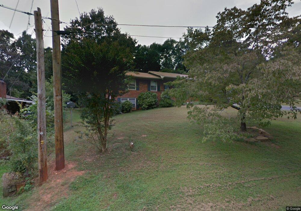
128 Paula St Commerce, GA 30529
Commerce Township Downtown NeighborhoodEstimated Value: $265,000 - $309,000
--
Bed
2
Baths
1,755
Sq Ft
$162/Sq Ft
Est. Value
About This Home
This home is located at 128 Paula St, Commerce, GA 30529 and is currently estimated at $283,758, approximately $161 per square foot. 128 Paula St is a home located in Jackson County with nearby schools including Commerce Primary School, Commerce Elementary School, and Commerce Middle School.
Ownership History
Date
Name
Owned For
Owner Type
Purchase Details
Closed on
Jan 25, 2007
Sold by
Not Provided
Bought by
Rathbun Robin M
Current Estimated Value
Home Financials for this Owner
Home Financials are based on the most recent Mortgage that was taken out on this home.
Original Mortgage
$134,700
Outstanding Balance
$80,590
Interest Rate
6.14%
Mortgage Type
New Conventional
Estimated Equity
$203,168
Create a Home Valuation Report for This Property
The Home Valuation Report is an in-depth analysis detailing your home's value as well as a comparison with similar homes in the area
Home Values in the Area
Average Home Value in this Area
Purchase History
| Date | Buyer | Sale Price | Title Company |
|---|---|---|---|
| Rathbun Robin M | $134,700 | -- |
Source: Public Records
Mortgage History
| Date | Status | Borrower | Loan Amount |
|---|---|---|---|
| Open | Rathbun Robin M | $134,700 |
Source: Public Records
Tax History Compared to Growth
Tax History
| Year | Tax Paid | Tax Assessment Tax Assessment Total Assessment is a certain percentage of the fair market value that is determined by local assessors to be the total taxable value of land and additions on the property. | Land | Improvement |
|---|---|---|---|---|
| 2024 | $2,021 | $73,840 | $12,000 | $61,840 |
| 2023 | $2,021 | $66,680 | $12,000 | $54,680 |
| 2022 | $1,633 | $51,040 | $8,000 | $43,040 |
| 2021 | $1,531 | $51,040 | $8,000 | $43,040 |
| 2020 | $1,515 | $42,400 | $8,000 | $34,400 |
| 2019 | $1,537 | $42,400 | $8,000 | $34,400 |
| 2018 | $1,462 | $40,720 | $8,000 | $32,720 |
| 2017 | $1,346 | $36,886 | $8,000 | $28,886 |
| 2016 | $1,317 | $35,926 | $7,040 | $28,886 |
| 2015 | $1,347 | $35,926 | $7,040 | $28,886 |
| 2014 | $1,052 | $27,977 | $7,040 | $20,937 |
| 2013 | -- | $29,328 | $7,040 | $22,288 |
Source: Public Records
Map
Nearby Homes
- 98 Paula St
- 140 Paula St
- 275 Orchard Cir
- 86 Paula St Unit 13
- 86 Paula St
- 285 Orchard Cir
- 111 Paula St
- 289 Orchard Dr
- 0 Paula St Unit 8018129
- 0 Paula St Unit 7623503
- 0 Paula St
- 275 Orchard Dr
- 0 Orchard Dr Unit 7568716
- 0 Orchard Dr Unit 9027090
- 0 Orchard Dr Unit 8762111
- 97 Paula St
- 70 Paula St
- 261 Orchard Dr
- 255 Orchard Cir
- 297 Orchard Cir