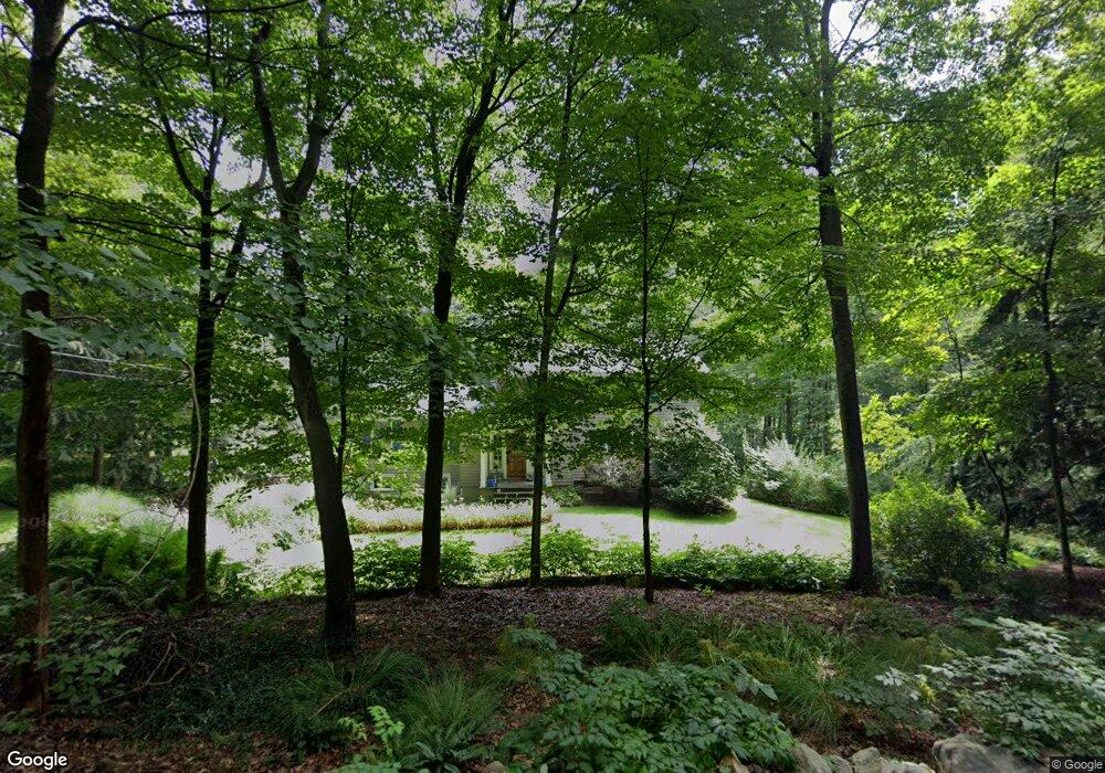
128 Pin Pack Rd Ridgefield, CT 06877
Estimated Value: $886,501 - $1,220,000
4
Beds
2
Baths
2,248
Sq Ft
$440/Sq Ft
Est. Value
About This Home
This home is located at 128 Pin Pack Rd, Ridgefield, CT 06877 and is currently estimated at $989,125, approximately $440 per square foot. 128 Pin Pack Rd is a home located in Fairfield County with nearby schools including Scotts Ridge Middle School, Ridgefield High School, and Ridgefield Montessori School.
Ownership History
Date
Name
Owned For
Owner Type
Purchase Details
Closed on
Nov 25, 2015
Sold by
Doris Joseph A and Doris Barbara A
Bought by
Doris Joseph A and Doris Barbafra A
Current Estimated Value
Purchase Details
Closed on
Mar 25, 1993
Sold by
Gallagher Stewart and Gallagher Laurie
Bought by
Doris Joseph and Abele Doris Barbara
Home Financials for this Owner
Home Financials are based on the most recent Mortgage that was taken out on this home.
Original Mortgage
$165,000
Interest Rate
7.73%
Mortgage Type
Unknown
Purchase Details
Closed on
Aug 1, 1990
Sold by
Mitchell Vincent
Bought by
Gallagher Stewart
Home Financials for this Owner
Home Financials are based on the most recent Mortgage that was taken out on this home.
Original Mortgage
$215,000
Interest Rate
10.02%
Create a Home Valuation Report for This Property
The Home Valuation Report is an in-depth analysis detailing your home's value as well as a comparison with similar homes in the area
Home Values in the Area
Average Home Value in this Area
Purchase History
| Date | Buyer | Sale Price | Title Company |
|---|---|---|---|
| Doris Joseph A | -- | -- | |
| Doris Joseph | $290,000 | -- | |
| Gallagher Stewart | $277,500 | -- |
Source: Public Records
Mortgage History
| Date | Status | Borrower | Loan Amount |
|---|---|---|---|
| Previous Owner | Gallagher Stewart | $210,000 | |
| Previous Owner | Gallagher Stewart | $165,000 | |
| Previous Owner | Gallagher Stewart | $215,000 |
Source: Public Records
Tax History Compared to Growth
Tax History
| Year | Tax Paid | Tax Assessment Tax Assessment Total Assessment is a certain percentage of the fair market value that is determined by local assessors to be the total taxable value of land and additions on the property. | Land | Improvement |
|---|---|---|---|---|
| 2025 | $11,051 | $403,480 | $220,500 | $182,980 |
| 2024 | $10,632 | $403,480 | $220,500 | $182,980 |
| 2023 | $10,414 | $403,480 | $220,500 | $182,980 |
| 2022 | $10,438 | $367,130 | $189,000 | $178,130 |
| 2021 | $10,357 | $367,130 | $189,000 | $178,130 |
| 2020 | $10,324 | $367,130 | $189,000 | $178,130 |
| 2019 | $10,324 | $367,130 | $189,000 | $178,130 |
| 2018 | $10,199 | $367,130 | $189,000 | $178,130 |
| 2017 | $10,594 | $389,360 | $182,950 | $206,410 |
| 2016 | $10,392 | $389,360 | $182,950 | $206,410 |
| 2015 | $10,127 | $389,360 | $182,950 | $206,410 |
| 2014 | $10,127 | $389,360 | $182,950 | $206,410 |
Source: Public Records
Map
Nearby Homes
- 22 Ketcham Rd
- 151 North St
- 261 North St
- 31 Ridgecrest Dr
- 88 Green Ln
- 358 N Salem Rd
- 75A New St
- 40 North St
- 75 New St
- 33 N Salem Rd
- 217 Danbury Rd
- 0 Pound St Unit 113831
- 0 Pound St
- 10 Hillcrest Ct
- 463 N Salem Rd
- 8 Stebbins Close Unit 8
- 7 Elderberry Ln Unit 7
- 75 Lawson Ln
- 105 Olcott Way Unit 105
- 52 Lawson Ln Unit 52
- 132 Pin Pack Rd
- 73 Continental Dr
- 91 Barrack Hill Rd
- 113 Pin Pack Rd
- 66 Barrack Hill Rd
- 107 Pin Pack Rd
- 78 Barrack Hill Rd
- 98 Pin Pack Rd
- 70 Barrack Hill Rd
- 74 Continental Dr
- 55 Continental Dr
- 95 Pin Pack Rd
- 42 Barrack Hill Rd
- 95 Barrack Hill Rd
- 66 Continental Dr
- 68 Barrack Hill Rd
- 96 Pin Pack Rd
- 25 Barrack Hill Rd
- 10 Thunder Hill Ln
- 51 Continental Dr