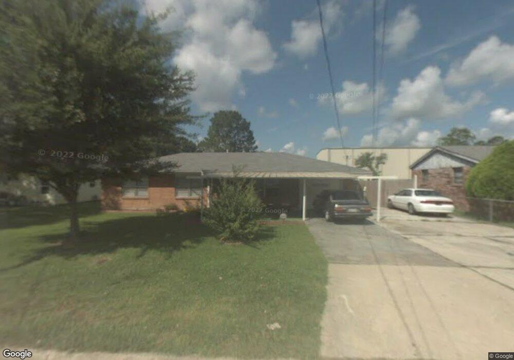
128 Polaris Rd Morgan City, LA 70380
Estimated Value: $141,000 - $241,000
4
Beds
2
Baths
1,722
Sq Ft
$112/Sq Ft
Est. Value
About This Home
This home is located at 128 Polaris Rd, Morgan City, LA 70380 and is currently estimated at $192,152, approximately $111 per square foot. 128 Polaris Rd is a home located in St. Mary Parish with nearby schools including Bayou Vista Elementary School, Patterson Junior High School, and Patterson High School.
Ownership History
Date
Name
Owned For
Owner Type
Purchase Details
Closed on
Jun 20, 2016
Sold by
Tdf Properties Llc
Bought by
Deglandon John R and Deglandon Selina A
Current Estimated Value
Home Financials for this Owner
Home Financials are based on the most recent Mortgage that was taken out on this home.
Original Mortgage
$149,246
Outstanding Balance
$118,822
Interest Rate
3.58%
Mortgage Type
FHA
Estimated Equity
$73,330
Purchase Details
Closed on
Mar 21, 2014
Sold by
Jpmorgan Chase Bank N A
Bought by
Tdf Properties Llc
Create a Home Valuation Report for This Property
The Home Valuation Report is an in-depth analysis detailing your home's value as well as a comparison with similar homes in the area
Home Values in the Area
Average Home Value in this Area
Purchase History
| Date | Buyer | Sale Price | Title Company |
|---|---|---|---|
| Deglandon John R | $152,000 | -- | |
| Tdf Properties Llc | $89,900 | -- | |
| Tdf Properties Llc | $89,900 | -- |
Source: Public Records
Mortgage History
| Date | Status | Borrower | Loan Amount |
|---|---|---|---|
| Open | Deglandon John R | $149,246 |
Source: Public Records
Tax History Compared to Growth
Tax History
| Year | Tax Paid | Tax Assessment Tax Assessment Total Assessment is a certain percentage of the fair market value that is determined by local assessors to be the total taxable value of land and additions on the property. | Land | Improvement |
|---|---|---|---|---|
| 2024 | $2,157 | $15,702 | $1,821 | $13,881 |
| 2023 | $1,960 | $14,440 | $1,821 | $12,619 |
| 2022 | $1,979 | $14,440 | $1,821 | $12,619 |
| 2021 | $1,979 | $14,440 | $1,821 | $12,619 |
| 2020 | $1,979 | $14,440 | $1,821 | $12,619 |
| 2019 | $1,949 | $14,440 | $1,821 | $12,619 |
| 2018 | $1,891 | $14,440 | $1,821 | $12,619 |
| 2017 | $1,860 | $14,440 | $1,821 | $12,619 |
| 2016 | $1,868 | $14,440 | $1,821 | $12,619 |
| 2015 | $1,375 | $9,313 | $0 | $9,313 |
| 2014 | $1,408 | $9,313 | $0 | $9,313 |
| 2013 | $395 | $9,313 | $0 | $9,313 |
Source: Public Records
Map
Nearby Homes
- 139 Mercury Rd
- 913 Highway 182 E
- 417 Venus St
- 919 Delmar Ave
- 164 Jupiter St
- 1245 Columbus Ave
- 116 Field Rd
- 1010 Southeast Blvd
- 1016 Southeast Blvd
- 807 Southeast Blvd
- 1915 Louisiana 182
- 435 Clarke Rd
- 1322 Belleview St
- 1933 Highway 182 E
- 1245 Delmar Ave
- 401 Carol Rd
- 301 Lagonda Rd
- 1308 Arbor Cir
- 158 Marcel Dr
- 1223 Teche Rd
- 128 Polaris St
- 122 Polaris St
- 122 Polaris Rd
- 136 Polaris St
- 136 Polaris St
- 142 Polaris St
- 119 Uranus St
- 115 Uranus St
- 115 Uranus St
- 125 Polaris St
- 125 Polaris St
- 125 Polaris St
- 131 Polaris St
- 1120 Highway 182 E
- 141 Polaris St
- 119 Polaris St
- 146 Polaris St
- 146 Polaris St
- 146 Polaris St
- 1120 Louisiana 182