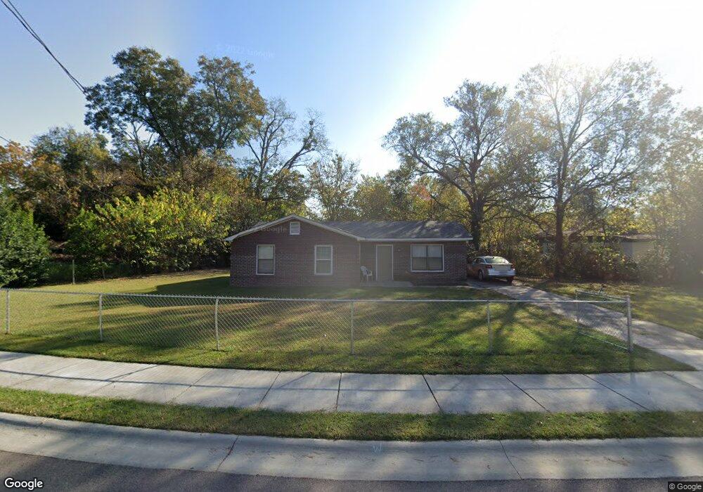
128 Pollard Dr Augusta, GA 30901
East Augusta NeighborhoodEstimated Value: $118,000 - $135,000
3
Beds
2
Baths
1,100
Sq Ft
$115/Sq Ft
Est. Value
About This Home
This home is located at 128 Pollard Dr, Augusta, GA 30901 and is currently estimated at $126,016, approximately $114 per square foot. 128 Pollard Dr is a home located in Richmond County with nearby schools including W.S. Hornsby School, W.S. Hornsby Elementary School, and Johnson Magnet.
Ownership History
Date
Name
Owned For
Owner Type
Purchase Details
Closed on
Apr 26, 2016
Sold by
Thomas Jerome
Bought by
Thomas Octavia
Current Estimated Value
Purchase Details
Closed on
Feb 28, 2011
Sold by
Utley Annie M
Bought by
Utley Ralph B
Purchase Details
Closed on
Jan 12, 2011
Sold by
Utley Leo L
Bought by
Utley Annie M
Purchase Details
Closed on
Aug 14, 2001
Sold by
Thomas Jerome
Bought by
Utley Leo L
Purchase Details
Closed on
Jun 28, 1990
Sold by
Housing & Urban Dev
Bought by
Thomas Jerome
Purchase Details
Closed on
Jan 1, 1990
Sold by
Federal National Mo
Bought by
Housing & Urban Dev
Create a Home Valuation Report for This Property
The Home Valuation Report is an in-depth analysis detailing your home's value as well as a comparison with similar homes in the area
Home Values in the Area
Average Home Value in this Area
Purchase History
| Date | Buyer | Sale Price | Title Company |
|---|---|---|---|
| Thomas Octavia | -- | -- | |
| Utley Ralph B | -- | -- | |
| Utley Annie M | -- | -- | |
| Utley Leo L | $7,500 | -- | |
| Utley Leo L | -- | -- | |
| Thomas Jerome | $4,100 | -- | |
| Housing & Urban Dev | $4,800 | -- |
Source: Public Records
Tax History
| Year | Tax Paid | Tax Assessment Tax Assessment Total Assessment is a certain percentage of the fair market value that is determined by local assessors to be the total taxable value of land and additions on the property. | Land | Improvement |
|---|---|---|---|---|
| 2025 | $1,632 | $43,248 | $1,600 | $41,648 |
| 2024 | $1,632 | $45,852 | $1,600 | $44,252 |
| 2023 | $1,077 | $26,708 | $1,600 | $25,108 |
| 2022 | $1,117 | $25,746 | $1,600 | $24,146 |
| 2021 | $922 | $17,123 | $1,600 | $15,523 |
| 2020 | $912 | $17,123 | $1,600 | $15,523 |
| 2019 | $893 | $15,376 | $1,600 | $13,776 |
| 2018 | $742 | $15,376 | $1,600 | $13,776 |
| 2017 | $968 | $15,376 | $1,600 | $13,776 |
| 2016 | $923 | $15,376 | $1,600 | $13,776 |
| 2015 | $633 | $15,376 | $1,600 | $13,776 |
| 2014 | $875 | $15,376 | $1,600 | $13,776 |
Source: Public Records
Map
Nearby Homes
- 156 McElmurray
- 505 NE Dupont St
- 301 E View Dr
- 419 Fairhope St
- 514 Fairhope St
- 615 Aiken St
- 615 Sea Isle Dr
- 526 Rachael St
- 264 Japonica Ave
- 521 Rachael St
- 254 Japonica Ave
- 406 E Espinosa St
- 205 Japonica Ave
- 736 Rivernorth Dr
- 749 Rivernorth Dr
- 765 Sand Bar Ferry Rd
- 37 Sand Bar Ferry Rd
- 170 Altamaha Dr
- 1304 Bruce St
- 609 Rivernorth Dr
- 127 Courtland Dr
- 123 Courtland Dr
- 125 Pollard Dr
- 133 Pollard Dr
- 131 Pollard Dr
- 122 Pollard Dr
- 119 Courtland Dr
- 131 Courtland Dr
- 124 Courtland Dr
- 117 Courtland Dr
- 120 Pollard Dr
- 153 McElmurray Dr
- 122 Courtland Dr
- 113 Courtland Dr
- 115 Courtland Dr
- 431 Sand Bar Ferry Rd
- 433 Sand Bar Ferry Rd Unit 2
- 120 Courtland Dr
- 128 Courtland Dr
- 119 Pollard Dr
Your Personal Tour Guide
Ask me questions while you tour the home.