128 Rountree Rd Grover, NC 28073
Estimated Value: $437,000 - $753,130
--
Bed
--
Bath
2,235
Sq Ft
$266/Sq Ft
Est. Value
About This Home
This home is located at 128 Rountree Rd, Grover, NC 28073 and is currently estimated at $595,065, approximately $266 per square foot. 128 Rountree Rd is a home located in Cleveland County with nearby schools including Grover Elementary School, Kings Mountain Middle, and Kings Mountain Intermediate School.
Ownership History
Date
Name
Owned For
Owner Type
Purchase Details
Closed on
Aug 21, 2025
Sold by
Hambright Family Revocable Living Trust and David Hambright K
Bought by
Draper Eleanora B
Current Estimated Value
Purchase Details
Closed on
Jul 21, 2020
Sold by
Hambright Carolyn D
Bought by
Hambright Family Revocable Living Trust
Purchase Details
Closed on
Mar 2, 2007
Sold by
R F H Enterprises Lp
Bought by
Hambright Fain and Hambright Carolyn
Create a Home Valuation Report for This Property
The Home Valuation Report is an in-depth analysis detailing your home's value as well as a comparison with similar homes in the area
Home Values in the Area
Average Home Value in this Area
Purchase History
| Date | Buyer | Sale Price | Title Company |
|---|---|---|---|
| Draper Eleanora B | $750,000 | None Listed On Document | |
| Hambright Family Revocable Living Trust | -- | None Available | |
| Hambright Fain | -- | None Available |
Source: Public Records
Tax History Compared to Growth
Tax History
| Year | Tax Paid | Tax Assessment Tax Assessment Total Assessment is a certain percentage of the fair market value that is determined by local assessors to be the total taxable value of land and additions on the property. | Land | Improvement |
|---|---|---|---|---|
| 2025 | $4,636 | $730,057 | $208,965 | $521,092 |
| 2024 | $3,857 | $478,811 | $163,360 | $315,451 |
| 2023 | $3,837 | $478,811 | $163,360 | $315,451 |
| 2022 | $3,837 | $478,811 | $163,360 | $315,451 |
| 2021 | $3,857 | $478,811 | $163,360 | $315,451 |
| 2020 | $2,519 | $295,473 | $160,694 | $134,779 |
| 2019 | $2,519 | $295,473 | $160,694 | $134,779 |
| 2018 | $2,514 | $295,473 | $160,694 | $134,779 |
| 2017 | $2,502 | $295,473 | $160,694 | $134,779 |
| 2016 | $2,396 | $295,473 | $160,694 | $134,779 |
| 2015 | $2,115 | $259,923 | $120,734 | $139,189 |
| 2014 | $2,115 | $259,923 | $120,734 | $139,189 |
Source: Public Records
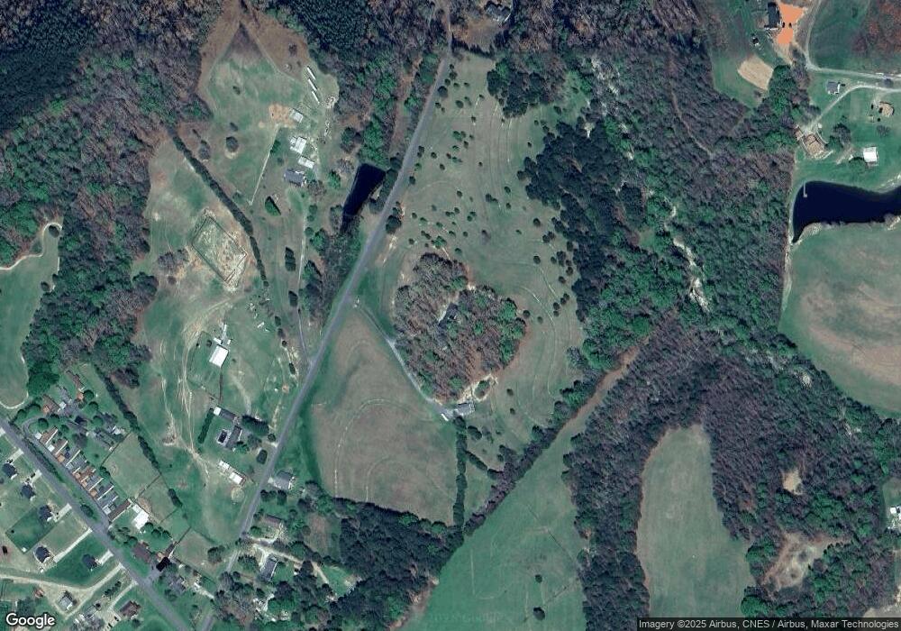
Map
Nearby Homes
- 203 Bethlehem Church Rd
- 00 Bethlehem Church Rd
- 811 Cleveland Ave
- 303 Hardin Cir
- 219 Watterson Rd
- 164 Blackburn Dr
- 101 Park Ln
- 132 Hicks Rd Unit 1
- 129 Lakeview Dr
- 308 M H Camp Hwy
- 101 Melvin Ct
- 111 Hicks Rd Unit 9
- 105 Elm Rd
- 00 Bunny Run
- 238 Lakeview Dr
- 210 Roy Bell Rd
- 614 Tribal Rd
- 764 S Battleground Ave
- 603 Tribal Rd
- 0 Pinewood Dr
- 119 Rountree Rd
- 112 Rountree Rd Unit 1
- 115 Rountree Rd
- 108 Rountree Rd Unit 1
- 106 Rountree Rd Unit 1
- 106 Rountree Rd Unit 1
- 146 Rountree Rd
- 105 Rountree Rd
- 1022 Cleveland Ave
- 1014 Cleveland Ave Unit 3
- 1028 Cleveland Ave
- 1008 Cleveland Ave
- 156 Rountree Rd
- 1184 Bethlehem Church Rd
- 1184 Bethlehem Church Rd
- 1037 Cleveland Ave
- 1039 Cleveland Ave
- 1041 Cleveland Ave
- 1045 Cleveland Ave
- 1043 Cleveland Ave