128 Rugg Brook Rd Winsted, CT 06098
Estimated Value: $890,916 - $1,437,000
5
Beds
4
Baths
5,088
Sq Ft
$208/Sq Ft
Est. Value
About This Home
This home is located at 128 Rugg Brook Rd, Winsted, CT 06098 and is currently estimated at $1,060,729, approximately $208 per square foot. 128 Rugg Brook Rd is a home located in Litchfield County.
Ownership History
Date
Name
Owned For
Owner Type
Purchase Details
Closed on
Jan 31, 2002
Sold by
10 Titus Llc
Bought by
Lyder David J and Lyder Kelly J
Current Estimated Value
Home Financials for this Owner
Home Financials are based on the most recent Mortgage that was taken out on this home.
Original Mortgage
$265,000
Interest Rate
7.75%
Create a Home Valuation Report for This Property
The Home Valuation Report is an in-depth analysis detailing your home's value as well as a comparison with similar homes in the area
Home Values in the Area
Average Home Value in this Area
Purchase History
| Date | Buyer | Sale Price | Title Company |
|---|---|---|---|
| Lyder David J | $125,000 | -- | |
| Lyder David J | $125,000 | -- |
Source: Public Records
Mortgage History
| Date | Status | Borrower | Loan Amount |
|---|---|---|---|
| Open | Lyder David J | $530,000 | |
| Closed | Lyder David J | $265,000 |
Source: Public Records
Tax History Compared to Growth
Tax History
| Year | Tax Paid | Tax Assessment Tax Assessment Total Assessment is a certain percentage of the fair market value that is determined by local assessors to be the total taxable value of land and additions on the property. | Land | Improvement |
|---|---|---|---|---|
| 2025 | $14,240 | $488,180 | $100,870 | $387,310 |
| 2024 | $13,298 | $488,180 | $100,870 | $387,310 |
| 2023 | $12,883 | $488,180 | $100,870 | $387,310 |
| 2022 | $12,427 | $370,510 | $87,290 | $283,220 |
| 2021 | $12,427 | $370,510 | $87,290 | $283,220 |
| 2020 | $12,427 | $370,510 | $87,290 | $283,220 |
| 2019 | $12,427 | $370,510 | $87,290 | $283,220 |
| 2018 | $14,920 | $444,850 | $87,290 | $357,560 |
| 2017 | $14,953 | $445,830 | $86,100 | $359,730 |
| 2016 | $14,772 | $440,440 | $86,100 | $354,340 |
| 2015 | $14,402 | $440,440 | $86,100 | $354,340 |
| 2014 | $14,054 | $440,440 | $86,100 | $354,340 |
Source: Public Records
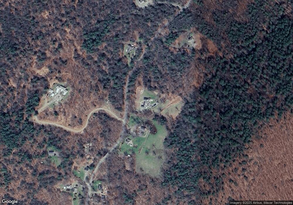
Map
Nearby Homes
- 393 Winchester Rd
- 00 Chapel Rd
- 000000 Norfolk Rd
- 119 W Wakefield Blvd
- 148 Danbury Quarter Rd
- 431 W Wakefield Blvd
- 32 Norfolk Rd
- 440 Platt Hill Rd
- 117 South Rd
- 73 Norfolk Rd
- 156 Lincoln Ave
- 77 Hubbard St
- 99 Hubbard St
- 256 Colebrook Rd
- 9 John St
- 843-845 (lots - 10A, E Wakefield Blvd
- 605 E Wakefield Blvd
- 118 Meadow St
- 38 Upland Rd
- 720 Main St
- 122 Rugg Brook Rd
- 122 Rugg Brook Rd
- 138 Rugg Brook Rd
- 148 Rugg Brook Rd
- 143 Rugg Brook Rd
- 119 Rugg Brook Rd
- 119R Rugg Brook Rd
- 135 Rugg Brook Rd
- 118 Rugg Brook Rd
- 150 Rugg Brook Rd
- 114 Rugg Brook Rd
- 127 Rugg Brook Rd
- 117 Rugg Brook Rd
- 113 Rugg Brook Rd
- 152 Rugg Brook Rd
- 116 Rugg Brook Rd
- 18 Griswold Ln
- 154 Rugg Brook Rd
- 111 Rugg Brook Rd
- 110 Rugg Brook Rd