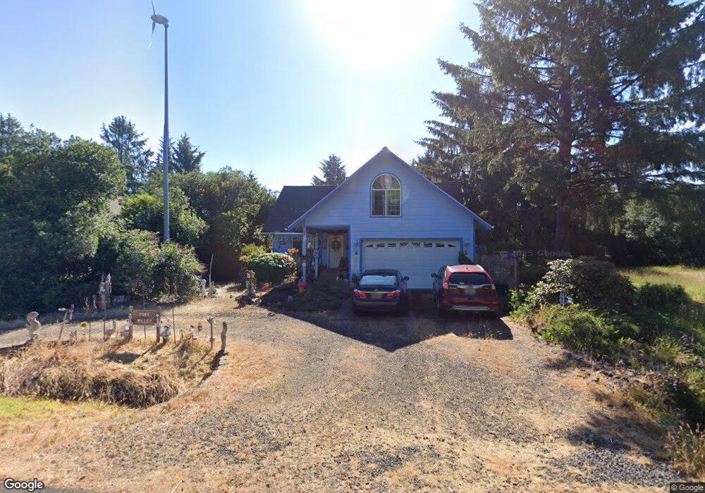
128 S Port Loop SW Ocean Shores, WA 98569
Estimated Value: $357,000 - $601,000
--
Bed
--
Bath
1,868
Sq Ft
$251/Sq Ft
Est. Value
About This Home
This home is located at 128 S Port Loop SW, Ocean Shores, WA 98569 and is currently estimated at $469,440, approximately $251 per square foot. 128 S Port Loop SW is a home located in Grays Harbor County with nearby schools including North Beach Junior/Senior High School.
Ownership History
Date
Name
Owned For
Owner Type
Purchase Details
Closed on
May 6, 2005
Sold by
Doering Thomas F and Doering Marion R
Bought by
Willey Alan P and Willey Sheryl L
Current Estimated Value
Home Financials for this Owner
Home Financials are based on the most recent Mortgage that was taken out on this home.
Original Mortgage
$23,175
Interest Rate
6.02%
Mortgage Type
Seller Take Back
Create a Home Valuation Report for This Property
The Home Valuation Report is an in-depth analysis detailing your home's value as well as a comparison with similar homes in the area
Home Values in the Area
Average Home Value in this Area
Purchase History
| Date | Buyer | Sale Price | Title Company |
|---|---|---|---|
| Willey Alan P | $30,573 | Coast Title |
Source: Public Records
Mortgage History
| Date | Status | Borrower | Loan Amount |
|---|---|---|---|
| Closed | Willey Alan P | $23,175 |
Source: Public Records
Tax History Compared to Growth
Tax History
| Year | Tax Paid | Tax Assessment Tax Assessment Total Assessment is a certain percentage of the fair market value that is determined by local assessors to be the total taxable value of land and additions on the property. | Land | Improvement |
|---|---|---|---|---|
| 2025 | $2,942 | $464,662 | $45,000 | $419,662 |
| 2023 | $2,973 | $429,771 | $75,000 | $354,771 |
| 2022 | $2,721 | $321,947 | $54,200 | $267,747 |
| 2021 | $3,015 | $321,947 | $54,200 | $267,747 |
| 2020 | $2,832 | $291,986 | $37,375 | $254,611 |
| 2019 | $2,561 | $263,964 | $32,500 | $231,464 |
| 2018 | $2,572 | $232,546 | $25,000 | $207,546 |
| 2017 | $2,353 | $220,715 | $25,000 | $195,715 |
| 2016 | $2,136 | $197,580 | $22,000 | $175,580 |
| 2014 | -- | $186,700 | $12,000 | $174,700 |
| 2013 | -- | $216,775 | $15,000 | $201,775 |
Source: Public Records
Map
Nearby Homes
- 143 Aries Ct SW
- 199 S Narwhal Loop SW
- 102 N Oar Loop NW
- 209 S Oar Loop SW
- 146 Ocean Shores Blvd NW
- 122 Sand Dune Ave SW
- 219 S Oar Loop SW
- 195 Ocean Shores Blvd SW
- 209 Canal Dr SE
- 105 Sand Dune Ave NW
- 241 Ocean Shores Blvd SW
- 189 Sand Dune Ave SW
- 233 Canal Dr SE
- 148 N Narwhal Loop NW
- 165 N Narwhal Loop NW
- 167 Polaris Ave SW
- 212 Point Brown Ave NE
- 247 Clover Creek Ave NW
- 172 N Narwhal Loop NW
- 272 Sand Dune Ave NW
- 132 S Port Loop SW
- 149 S Oar Loop SW
- 143 S Oar Loop SW
- 143 S Oar Loop SW
- 136 S Port Loop SW
- 122 S Port Loop SW
- 127 S Port Loop SW
- 139 S Oar Loop SW
- 159 S Oar Loop SW
- 123 S Port Loop SW
- 120 S Port Loop SW
- 135 S Port Loop SW
- 133 S Oar Loop SW
- 121 S Port Loop SW
- 137 S Port Loop SW
- 140 S Port Loop SW
- 150 S Oar Loop SW
- 125 Cetus St
- 154 S Oar Loop SW
- 126 Aurige Ave SW