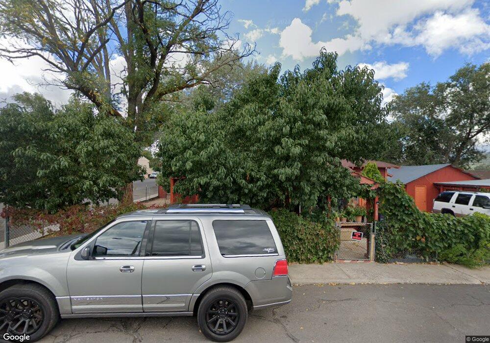
128 S Taber St Williams, AZ 86046
Estimated Value: $319,386 - $462,000
2
Beds
1
Bath
74
Sq Ft
$5,190/Sq Ft
Est. Value
About This Home
This home is located at 128 S Taber St, Williams, AZ 86046 and is currently estimated at $384,097, approximately $5,190 per square foot. 128 S Taber St is a home located in Coconino County with nearby schools including Williams Elementary/Middle School, Williams High School, and Heritage Elementary - Williams.
Ownership History
Date
Name
Owned For
Owner Type
Purchase Details
Closed on
Mar 17, 2006
Sold by
Stoddard William J and Stoddard Trini K
Bought by
Rogel Paulino and Rogel Lisa
Current Estimated Value
Home Financials for this Owner
Home Financials are based on the most recent Mortgage that was taken out on this home.
Original Mortgage
$150,220
Outstanding Balance
$85,798
Interest Rate
6.35%
Mortgage Type
New Conventional
Estimated Equity
$298,299
Purchase Details
Closed on
Jun 12, 2002
Sold by
Hendel Ventures Inc
Bought by
Stoddard William J and Stoddard Trini K
Home Financials for this Owner
Home Financials are based on the most recent Mortgage that was taken out on this home.
Original Mortgage
$71,550
Interest Rate
6.69%
Mortgage Type
New Conventional
Purchase Details
Closed on
Jul 26, 2001
Sold by
Coconino County Attorney
Bought by
Hendel Ventures Inc
Create a Home Valuation Report for This Property
The Home Valuation Report is an in-depth analysis detailing your home's value as well as a comparison with similar homes in the area
Home Values in the Area
Average Home Value in this Area
Purchase History
| Date | Buyer | Sale Price | Title Company |
|---|---|---|---|
| Rogel Paulino | $165,000 | Pioneer Title Agency Inc | |
| Stoddard William J | $79,500 | Fidelity National Title | |
| Hendel Ventures Inc | $35,000 | First American Title |
Source: Public Records
Mortgage History
| Date | Status | Borrower | Loan Amount |
|---|---|---|---|
| Open | Rogel Paulino | $150,220 | |
| Previous Owner | Stoddard William J | $71,550 | |
| Closed | Rogel Paulino | $17,000 |
Source: Public Records
Tax History Compared to Growth
Tax History
| Year | Tax Paid | Tax Assessment Tax Assessment Total Assessment is a certain percentage of the fair market value that is determined by local assessors to be the total taxable value of land and additions on the property. | Land | Improvement |
|---|---|---|---|---|
| 2025 | $576 | $24,357 | -- | -- |
| 2024 | $576 | $23,280 | -- | -- |
| 2023 | $525 | $17,033 | $0 | $0 |
| 2022 | $525 | $13,438 | $0 | $0 |
| 2021 | $512 | $12,791 | $0 | $0 |
| 2020 | $500 | $11,888 | $0 | $0 |
| 2019 | $485 | $9,558 | $0 | $0 |
| 2018 | $466 | $8,070 | $0 | $0 |
| 2017 | $460 | $6,888 | $0 | $0 |
| 2016 | $433 | $5,604 | $0 | $0 |
| 2015 | $443 | $5,672 | $0 | $0 |
Source: Public Records
Map
Nearby Homes
- 106 W Sherman Ave
- 201 S Slagel St
- 500 Grand Canyon Ave
- 344 E Route 66
- 412 S 1st St
- 1012 Foothill Rd
- 304 S 4th St
- 00 W Fulton Ave
- 500 W Meade Ave
- 410 N Locust St Unit 18
- 733 S 3rd St
- 411 S 6th St
- 215 W Hancock Ave
- 407 S 7th St
- 725 N Humbolt St
- 530 W Mcpherson Ave
- 701 N Airport Rd
- 1028 W Rogers Ave
- 911 W Oak St
- 1011 W Sheridan Ave
- 112 S Taber St
- 123 S Taber St
- 127 S Taber St
- 134 E Route 66
- 134 E Grant Ave
- 76 W Grant Ave
- 128 E Grant Ave
- 209 E Grant Ave
- 208 S Taber St
- 202 E Grant Ave
- 205 S 1st St Unit A
- 205 S 1st St
- 205 S 1st St
- 205 S 1st St
- 205 S 1st St
- 205 S 1st St Unit E
- 205 S 1st St Unit C-2
- 118 E Grant Ave
- 128 E Route 66
- 0 N No Name Unit 1022811