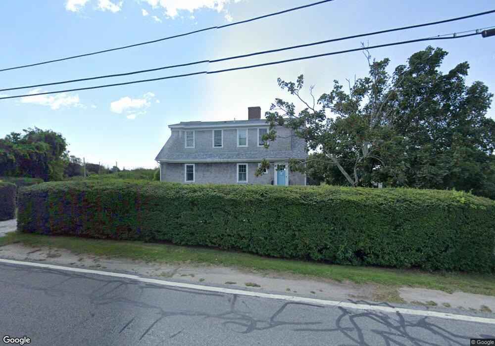
128 Sakonnet Point Rd Little Compton, RI 02837
Estimated Value: $1,338,000 - $2,603,000
2
Beds
3
Baths
2,240
Sq Ft
$955/Sq Ft
Est. Value
About This Home
This home is located at 128 Sakonnet Point Rd, Little Compton, RI 02837 and is currently estimated at $2,138,299, approximately $954 per square foot. 128 Sakonnet Point Rd is a home located in Newport County with nearby schools including Wilbur & McMahon School.
Ownership History
Date
Name
Owned For
Owner Type
Purchase Details
Closed on
Aug 17, 1994
Sold by
Stickney Helene M
Bought by
Hearle Susan Melinette
Current Estimated Value
Home Financials for this Owner
Home Financials are based on the most recent Mortgage that was taken out on this home.
Original Mortgage
$150,000
Interest Rate
8.61%
Mortgage Type
Purchase Money Mortgage
Create a Home Valuation Report for This Property
The Home Valuation Report is an in-depth analysis detailing your home's value as well as a comparison with similar homes in the area
Home Values in the Area
Average Home Value in this Area
Purchase History
| Date | Buyer | Sale Price | Title Company |
|---|---|---|---|
| Hearle Susan Melinette | $200,000 | -- | |
| Hearle Susan Melinette | $200,000 | -- |
Source: Public Records
Mortgage History
| Date | Status | Borrower | Loan Amount |
|---|---|---|---|
| Closed | Hearle Susan Melinette | $150,000 |
Source: Public Records
Tax History Compared to Growth
Tax History
| Year | Tax Paid | Tax Assessment Tax Assessment Total Assessment is a certain percentage of the fair market value that is determined by local assessors to be the total taxable value of land and additions on the property. | Land | Improvement |
|---|---|---|---|---|
| 2025 | $9,122 | $1,904,300 | $1,499,300 | $405,000 |
| 2024 | $8,609 | $1,694,600 | $1,304,100 | $390,500 |
| 2023 | $8,405 | $1,694,600 | $1,304,100 | $390,500 |
| 2022 | $8,304 | $1,694,600 | $1,304,100 | $390,500 |
| 2021 | $8,484 | $1,404,600 | $1,031,000 | $373,600 |
| 2020 | $8,414 | $1,404,600 | $1,031,000 | $373,600 |
| 2019 | $8,329 | $1,404,600 | $1,031,000 | $373,600 |
| 2018 | $8,269 | $1,387,400 | $1,031,000 | $356,400 |
| 2016 | $7,867 | $1,387,400 | $1,031,000 | $356,400 |
| 2015 | $7,306 | $1,270,600 | $859,200 | $411,400 |
| 2014 | $7,166 | $1,270,600 | $859,200 | $411,400 |
Source: Public Records
Map
Nearby Homes
- 536 W Main Rd
- 141 S Of Commons Rd
- 441 W Main Rd
- 18 Old Barn Rd
- 128 Maple Ave
- 515 Indian Ave
- 0 Willow Ave
- 62 Howland Ave
- 304 Brayton Point Rd
- 78 Cornelius Dr
- 180 W Main Rd
- 189 Brayton Point Rd
- 141 Gray Craig Rd
- 17 Ferolbink Way
- 10 Bartlett Rd
- 155 W Main Rd
- 16 Sachuest Dr
- 0 Saltwood Dr
- 505 Long Hwy
- 4 James St
- 2 California Rd
- 131 Sakonnet Point Rd
- 4 California Rd
- 5 California Rd
- 130 Sakonnet Point Rd
- 127 Sakonnet Point Rd
- 127C Sakonnet Point Rd
- 10 California Rd
- 5 Nevada Rd
- 9 Nevada Rd
- 8 Round Pond Rd
- 8 Round Pond Rd
- 7 Nevada Rd
- 0 Connecticut Rd
- 2 Nevada Rd
- 6 Goodrich Ln
- 137 Sakonnet Point Rd
- 144 Sakonnet Point Rd
- 115 Sakonnet Point Rd
- 10 Round Pond Rd