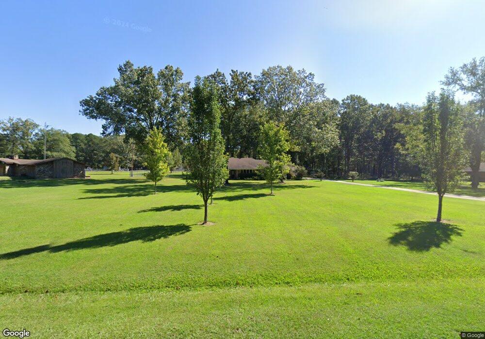
128 Unity Ln Crossett, AR 71635
Estimated Value: $177,000 - $407,000
--
Bed
2
Baths
2,116
Sq Ft
$117/Sq Ft
Est. Value
About This Home
This home is located at 128 Unity Ln, Crossett, AR 71635 and is currently estimated at $247,150, approximately $116 per square foot. 128 Unity Ln is a home located in Ashley County with nearby schools including Crossett Elementary School, Crossett Middle School, and Crossett High School.
Ownership History
Date
Name
Owned For
Owner Type
Purchase Details
Closed on
Jul 14, 2000
Bought by
Snelgrove Eric and Snelgrove Gayla
Current Estimated Value
Purchase Details
Closed on
Jul 14, 1988
Bought by
Lewis Murvle A and Lewis Cindy S
Purchase Details
Closed on
Jun 22, 1988
Bought by
Lewis Murvle A and Lewis Cindy S
Purchase Details
Closed on
May 12, 1978
Bought by
Payne Jerry D and Carol Yvonne
Purchase Details
Closed on
Nov 23, 1976
Bought by
Sherrell Virgil L and Sherrell Joyce E
Create a Home Valuation Report for This Property
The Home Valuation Report is an in-depth analysis detailing your home's value as well as a comparison with similar homes in the area
Home Values in the Area
Average Home Value in this Area
Purchase History
| Date | Buyer | Sale Price | Title Company |
|---|---|---|---|
| Snelgrove Eric | $171,000 | -- | |
| Lewis Murvle A | -- | -- | |
| Lewis Murvle A | -- | -- | |
| Payne Jerry D | -- | -- | |
| Sherrell Virgil L | -- | -- |
Source: Public Records
Tax History Compared to Growth
Tax History
| Year | Tax Paid | Tax Assessment Tax Assessment Total Assessment is a certain percentage of the fair market value that is determined by local assessors to be the total taxable value of land and additions on the property. | Land | Improvement |
|---|---|---|---|---|
| 2025 | $698 | $40,570 | $4,170 | $36,400 |
| 2024 | $798 | $40,570 | $4,170 | $36,400 |
| 2023 | $873 | $40,570 | $4,170 | $36,400 |
| 2022 | $923 | $27,940 | $2,920 | $25,020 |
| 2021 | $923 | $27,940 | $2,920 | $25,020 |
| 2020 | $923 | $27,940 | $2,920 | $25,020 |
| 2019 | $923 | $27,940 | $2,920 | $25,020 |
| 2018 | $948 | $27,940 | $2,920 | $25,020 |
| 2017 | $948 | $27,450 | $2,430 | $25,020 |
| 2016 | $733 | $25,040 | $2,430 | $22,610 |
| 2015 | $733 | $25,040 | $2,430 | $22,610 |
| 2014 | $733 | $25,040 | $2,430 | $22,610 |
Source: Public Records
Map
Nearby Homes
- 136 Unity Ln
- lot 8 Unity Ln
- 120 Unity Ln
- 137 Unity Ln
- 144 Unity Ln
- 121 Unity Ln
- 1144 Highway 82 W
- 1154 Highway 82 W
- 1164 Highway 82 W
- 1135 Highway 82 W
- 1147 Highway 82 W
- 1141 Highway 82 W
- 1176 Highway 82 W
- 1184 Highway 82 W
- 131 Red Oak Ln
- 1200 Highway 82 W
- 173 Ashley 544
- 173 Ashley Cr 544
- 110 Ashley Road 544
- 205 Ashley Road 544
