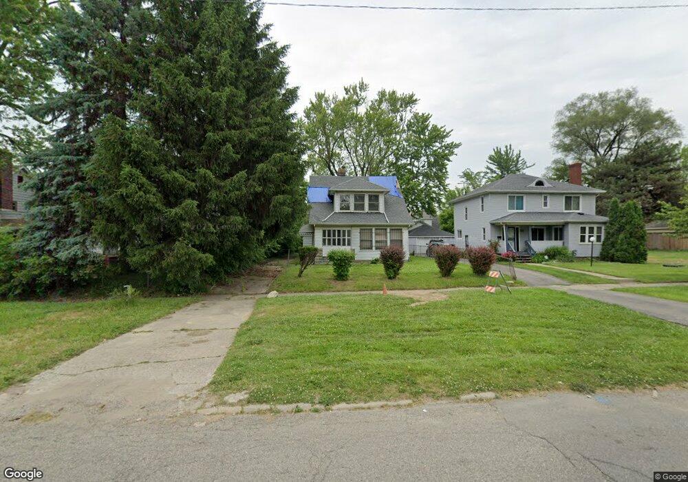
128 W Mcclellan St Flint, MI 48505
King Avenue Plus NeighborhoodEstimated Value: $50,512 - $98,000
4
Beds
2
Baths
1,464
Sq Ft
$48/Sq Ft
Est. Value
About This Home
This home is located at 128 W Mcclellan St, Flint, MI 48505 and is currently estimated at $70,378, approximately $48 per square foot. 128 W Mcclellan St is a home located in Genesee County with nearby schools including Brownell STEM Academy, Greater Heights Academy, and Eagle's Nest Academy.
Ownership History
Date
Name
Owned For
Owner Type
Purchase Details
Closed on
Sep 7, 2023
Sold by
Relerford Jerome
Bought by
Montgomery Jermel
Current Estimated Value
Purchase Details
Closed on
Nov 24, 2017
Sold by
Montgomery Jeryl Ellis
Bought by
Relerford Deborah A
Purchase Details
Closed on
Oct 3, 2017
Sold by
Cherry Deborha L
Bought by
Montgomery Jeryl E
Purchase Details
Closed on
Oct 10, 2000
Sold by
Sampson Catrina L
Bought by
Booker George L
Create a Home Valuation Report for This Property
The Home Valuation Report is an in-depth analysis detailing your home's value as well as a comparison with similar homes in the area
Home Values in the Area
Average Home Value in this Area
Purchase History
| Date | Buyer | Sale Price | Title Company |
|---|---|---|---|
| Montgomery Jermel | -- | None Listed On Document | |
| Relerford Jerome | -- | None Listed On Document | |
| Relerford Deborah A | -- | None Available | |
| Montgomery Jeryl E | -- | None Available | |
| Booker George L | -- | Fidelity National Title Ins |
Source: Public Records
Tax History
| Year | Tax Paid | Tax Assessment Tax Assessment Total Assessment is a certain percentage of the fair market value that is determined by local assessors to be the total taxable value of land and additions on the property. | Land | Improvement |
|---|---|---|---|---|
| 2025 | $1,287 | $20,800 | $0 | $0 |
| 2024 | $1,189 | $14,300 | $0 | $0 |
| 2023 | $937 | $11,600 | $0 | $0 |
| 2022 | $0 | $9,800 | $0 | $0 |
| 2021 | $948 | $9,400 | $0 | $0 |
| 2020 | $1,074 | $12,300 | $0 | $0 |
| 2019 | $1,138 | $13,500 | $0 | $0 |
| 2018 | $1,212 | $14,200 | $0 | $0 |
| 2017 | $1,157 | $0 | $0 | $0 |
| 2016 | $1,148 | $0 | $0 | $0 |
| 2015 | -- | $0 | $0 | $0 |
| 2014 | -- | $0 | $0 | $0 |
| 2012 | -- | $17,700 | $0 | $0 |
Source: Public Records
Map
Nearby Homes
- 200 W Mcclellan St
- 132 W Jamieson St
- 217 W Dewey St
- 320 W Mcclellan St
- 115 E Genesee St
- 409 W Genesee St
- 432 W Dartmouth St
- 218 E Jackson Ave
- 115 W Baker St
- 716 W Genesee St
- 3422 Race St
- 3810 Marvin St
- 2718 N Chevrolet Ave
- 2217 Francis Ave
- 506 Green St
- 3207 Milbourne Ave
- 630 E Dartmouth St
- 3802 Milbourne Ave
- 606 W Stewart Ave
- 3722 Sterling St
- 132 W Mcclellan St
- 124 W Mcclellan St
- 120 W Mcclellan St
- 129 W Jamieson St
- 125 W Jamieson St
- 201 W Jamieson St
- 121 W Jamieson St
- 204 W Mcclellan St
- 116 W Mcclellan St
- 205 W Jamieson St
- 117 W Jamieson St
- 208 W Mcclellan St
- 112 W Mcclellan St
- 129 W Mcclellan St
- 125 W Mcclellan St
- 133 W Mcclellan St
- 209 W Jamieson St
- 113 W Jamieson St
- 201 W Mcclellan St
- 121 W Mcclellan St
Your Personal Tour Guide
Ask me questions while you tour the home.