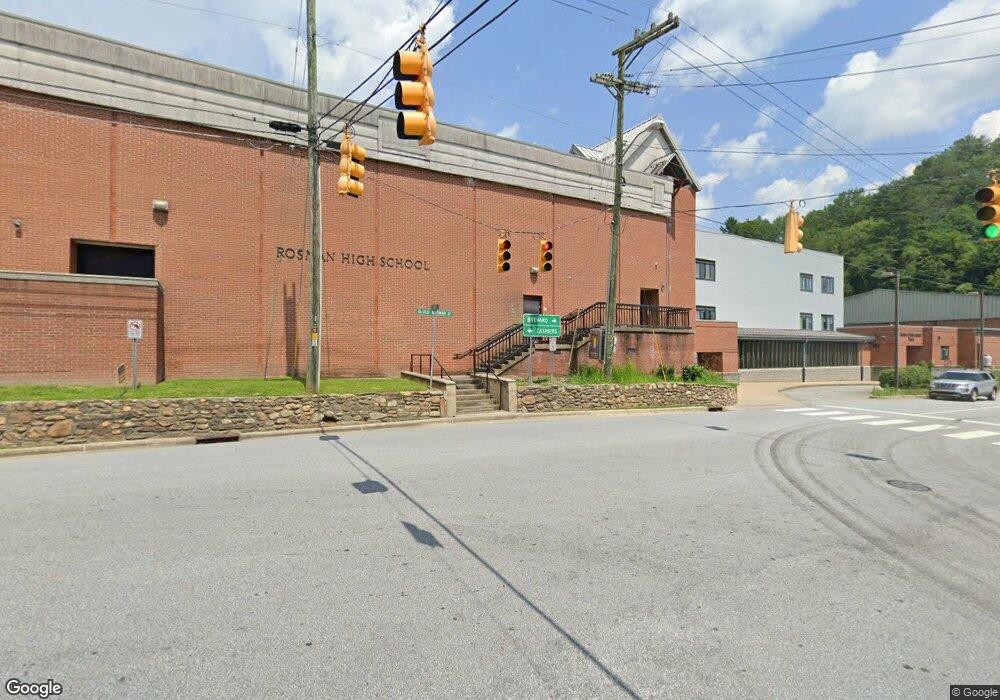
128 White Trail Rd Unit 128 Rosman, NC 28772
Estimated Value: $559,000 - $1,534,274
3
Beds
3
Baths
3,136
Sq Ft
$304/Sq Ft
Est. Value
About This Home
This home is located at 128 White Trail Rd Unit 128, Rosman, NC 28772 and is currently estimated at $954,569, approximately $304 per square foot. 128 White Trail Rd Unit 128 is a home located in Transylvania County.
Ownership History
Date
Name
Owned For
Owner Type
Purchase Details
Closed on
Jan 30, 2025
Sold by
Messina John and Messina Patricia
Bought by
John Messina Trust and Patricia Messina Trust
Current Estimated Value
Purchase Details
Closed on
Nov 15, 2021
Sold by
Berman Ira P and Borrello Helen A
Bought by
Messina John and Messina Patricia
Purchase Details
Closed on
Mar 9, 2018
Sold by
Williams Mary J and Hoenighausen Francis A
Bought by
Berman Ira P
Purchase Details
Closed on
Aug 1, 1999
Bought by
Williams Mary J
Create a Home Valuation Report for This Property
The Home Valuation Report is an in-depth analysis detailing your home's value as well as a comparison with similar homes in the area
Home Values in the Area
Average Home Value in this Area
Purchase History
| Date | Buyer | Sale Price | Title Company |
|---|---|---|---|
| John Messina Trust | -- | Chicago Title | |
| John Messina Trust | -- | Chicago Title | |
| Messina John | $160,000 | None Available | |
| Berman Ira P | $97,500 | None Available | |
| Williams Mary J | $40,500 | -- |
Source: Public Records
Tax History Compared to Growth
Tax History
| Year | Tax Paid | Tax Assessment Tax Assessment Total Assessment is a certain percentage of the fair market value that is determined by local assessors to be the total taxable value of land and additions on the property. | Land | Improvement |
|---|---|---|---|---|
| 2025 | $6,210 | $1,292,410 | $143,920 | $1,148,490 |
| 2024 | $4,756 | $722,440 | $186,140 | $536,300 |
| 2023 | $2,573 | $390,870 | $95,850 | $295,020 |
| 2022 | $631 | $95,850 | $95,850 | $0 |
| 2021 | $626 | $95,850 | $95,850 | $0 |
| 2020 | $732 | $105,130 | $0 | $0 |
| 2019 | $726 | $105,130 | $0 | $0 |
| 2018 | $664 | $105,130 | $0 | $0 |
| 2017 | $659 | $105,130 | $0 | $0 |
| 2016 | $652 | $105,130 | $0 | $0 |
| 2015 | -- | $105,130 | $105,130 | $0 |
| 2014 | -- | $105,130 | $105,130 | $0 |
Source: Public Records
Map
Nearby Homes
- 1101 Line Runner Ridge Rd
- 206 Willow Ln
- 300 Serenity Trail
- 313 Line Runner Ridge Rd
- 171 Fjord Rd
- 37 Poplar Dr
- 303 Ladd Ridge Rd
- 88 Ladd Ridge
- 00 Line Runner Ridge Rd
- 70 Wetherbee Ln
- 4050 Pickens Hwy
- tbd Eastatoe Gap Rd
- 229 Wetherbee Ln
- 101 Laurel Knob Rd
- 315 Garren Creek Rd
- 3739 Pickens Hwy
- 361 Rooster Cove
- 000 Eastatoe Gap Rd
- 779 Thissa Way
- Lot 114 Pickens Hwy
- 128 White Tail Trail Unit 128
- TBD Whitetail Trail
- 1103 Whitetail Trail
- Lot 128 Whitetail Trail
- Tract 71 Whitetail Trail
- 129 Whitetail Trail Unit 129
- 129 Whitetail Trail
- 1386 Whitetail Trail
- 123 Antler Ridge Rd
- 1 Antler Ridge
- TBD Antler Ridge Unit Tract 123
- 125 Indian Camp Mountain Rd Unit TR 125
- Lot 46 Antler Ridge
- T121 Indian Springs Rd
- 182 Antler Ridge
- 124 Greenbird Trail Unit 124
- TBD Turkey Track Rd
- 412 Ridge Rd
- 000 Ridge Rd
- 253 Turkey Track Rd
