128 Zions Trace Canton, NC 28716
Estimated Value: $445,000 - $582,000
3
Beds
2
Baths
1,592
Sq Ft
$312/Sq Ft
Est. Value
About This Home
This home is located at 128 Zions Trace, Canton, NC 28716 and is currently estimated at $496,390, approximately $311 per square foot. 128 Zions Trace is a home with nearby schools including North Canton Elementary School, Canton Middle, and Pisgah High School.
Ownership History
Date
Name
Owned For
Owner Type
Purchase Details
Closed on
Feb 24, 2010
Sold by
Penland Kay W
Bought by
Gibson Thomas Ray and Gibson Kristy
Current Estimated Value
Home Financials for this Owner
Home Financials are based on the most recent Mortgage that was taken out on this home.
Original Mortgage
$63,750
Outstanding Balance
$42,294
Interest Rate
5%
Mortgage Type
Future Advance Clause Open End Mortgage
Estimated Equity
$454,096
Create a Home Valuation Report for This Property
The Home Valuation Report is an in-depth analysis detailing your home's value as well as a comparison with similar homes in the area
Home Values in the Area
Average Home Value in this Area
Purchase History
| Date | Buyer | Sale Price | Title Company |
|---|---|---|---|
| Gibson Thomas Ray | $75,000 | None Available |
Source: Public Records
Mortgage History
| Date | Status | Borrower | Loan Amount |
|---|---|---|---|
| Open | Gibson Thomas Ray | $63,750 |
Source: Public Records
Tax History Compared to Growth
Tax History
| Year | Tax Paid | Tax Assessment Tax Assessment Total Assessment is a certain percentage of the fair market value that is determined by local assessors to be the total taxable value of land and additions on the property. | Land | Improvement |
|---|---|---|---|---|
| 2025 | -- | $297,300 | $53,500 | $243,800 |
| 2024 | $2,002 | $297,300 | $53,500 | $243,800 |
| 2023 | $2,002 | $297,300 | $53,500 | $243,800 |
| 2022 | $1,958 | $297,300 | $53,500 | $243,800 |
| 2021 | $1,958 | $297,300 | $53,500 | $243,800 |
| 2020 | $1,799 | $250,400 | $36,800 | $213,600 |
| 2019 | $1,804 | $250,400 | $36,800 | $213,600 |
| 2018 | $1,804 | $250,400 | $36,800 | $213,600 |
| 2017 | $1,804 | $250,400 | $0 | $0 |
| 2016 | $1,713 | $243,500 | $0 | $0 |
| 2015 | $1,689 | $243,500 | $0 | $0 |
| 2014 | $643 | $107,000 | $0 | $0 |
Source: Public Records
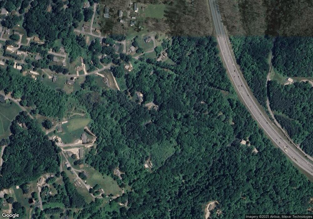
Map
Nearby Homes
- 1261 Asheville Hwy
- 00 Beaverdam Rd
- 1199 & 1193 Newfound St
- 2413 Asheville Hwy
- 821 N Main St
- 761 N Main St
- 161 Ferguson St
- 91 Star Ridge Rd
- 412 Trammell Ave
- 228 Chestnut Mountain Rd
- 106 Trellis Dr
- 303 Johnson Farm Rd
- 695 Chestnut Mountain Rd
- 430 N Main St
- 70 1st St
- 88 Ernest Dr
- 40 Warner Rd
- 99999 Allen St
- 223 N Main St
- 72 Boydston St