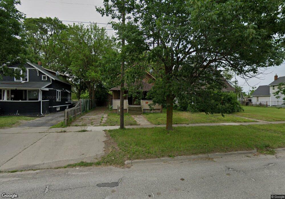
1280 Broadway Blvd Flint, MI 48506
Eastside NeighborhoodEstimated Value: $43,163 - $102,000
3
Beds
1
Bath
1,244
Sq Ft
$48/Sq Ft
Est. Value
About This Home
This home is located at 1280 Broadway Blvd, Flint, MI 48506 and is currently estimated at $59,541, approximately $47 per square foot. 1280 Broadway Blvd is a home located in Genesee County with nearby schools including Potter School, Flint Cultural Center Academy, and WAY Academy of Flint.
Ownership History
Date
Name
Owned For
Owner Type
Purchase Details
Closed on
Apr 25, 2011
Sold by
Ecker Beulah P and The Floyd H & Beulah P Ecker T
Bought by
Brown Tommy L
Current Estimated Value
Purchase Details
Closed on
Jan 11, 2005
Sold by
Ecker Floyd H and Ecker Beulah P
Bought by
Ecker Floyd H and Ecker Beulah P
Purchase Details
Closed on
Feb 18, 2004
Sold by
Tabit Michael L and Martin Dennis Dwayne
Bought by
Ecker Floyd H and Ecker Beulah P
Purchase Details
Closed on
Oct 17, 2003
Sold by
Ecker Floyd H and Ecker Beulah P
Bought by
Brown Tommy L
Purchase Details
Closed on
Aug 23, 2002
Sold by
Michigan Department Of Natural Resources
Bought by
Ecker Floyd H and Ecker Beulah P
Create a Home Valuation Report for This Property
The Home Valuation Report is an in-depth analysis detailing your home's value as well as a comparison with similar homes in the area
Home Values in the Area
Average Home Value in this Area
Purchase History
We collect this data history from publicly available records. To have your information removed, we recommend requesting removal directly through your county’s website.
| Date | Buyer | Sale Price | Title Company |
|---|---|---|---|
| Brown Tommy L | $31,400 | None Available | |
| Ecker Floyd H | -- | None Available | |
| Ecker Floyd H | -- | -- | |
| Brown Tommy L | -- | -- | |
| Ecker Floyd H | $15,600 | -- |
Source: Public Records
Tax History
| Year | Tax Paid | Tax Assessment Tax Assessment Total Assessment is a certain percentage of the fair market value that is determined by local assessors to be the total taxable value of land and additions on the property. | Land | Improvement |
|---|---|---|---|---|
| 2025 | $448 | $10,700 | $0 | $0 |
| 2024 | $444 | $10,400 | $0 | $0 |
| 2023 | $446 | $8,700 | $0 | $0 |
| 2022 | $0 | $6,900 | $0 | $0 |
| 2021 | $445 | $6,300 | $0 | $0 |
| 2020 | $425 | $7,100 | $0 | $0 |
| 2019 | $428 | $6,600 | $0 | $0 |
| 2018 | $340 | $7,600 | $0 | $0 |
| 2017 | $336 | $0 | $0 | $0 |
| 2016 | $335 | $0 | $0 | $0 |
| 2015 | -- | $0 | $0 | $0 |
| 2014 | -- | $0 | $0 | $0 |
| 2012 | -- | $3,200 | $0 | $0 |
Source: Public Records
Map
Nearby Homes
- 1273 Broadway Blvd
- 1410 Indiana Ave
- 1321 Kearsley Park Blvd
- 1433 Mabel Ave
- 1529 Broadway Blvd
- 1550 Jane Ave
- 1540 Illinois Ave
- 1518 Wisconsin Ave
- 1359 Roosevelt Ave
- 1239 Poplar St
- 1241 Poplar St
- 1706 Wilberforce Cir
- 1445 Maryland Ave
- 1710 Wilberforce Cir
- 1609 Ohio Ave
- 1007 Decker St
- 1624 Wisconsin Ave
- 1629 New York Ave
- 1457 Poplar St
- 1652 Wisconsin Ave
- 1285 Broadway Blvd
- 2105 Lyman St
- 1251 E Hamilton Ave
- 1249 E Hamilton Ave
- 1278 Broadway Blvd
- 2109 Lyman St
- 1284 Broadway Blvd
- 1292 Broadway Blvd
- 1274 Broadway Blvd
- 1270 Broadway Blvd
- 1296 Broadway Blvd
- 1241 E Hamilton Ave
- 2115 Lyman St
- 1260 Broadway Blvd
- 1214 Bennett Ave
- 2119 Bennett Ct
- 1237 E Hamilton Ave
- 1210 Bennett Ave
- 1267 Davison Rd
- 1263 Davison Rd
Your Personal Tour Guide
Ask me questions while you tour the home.