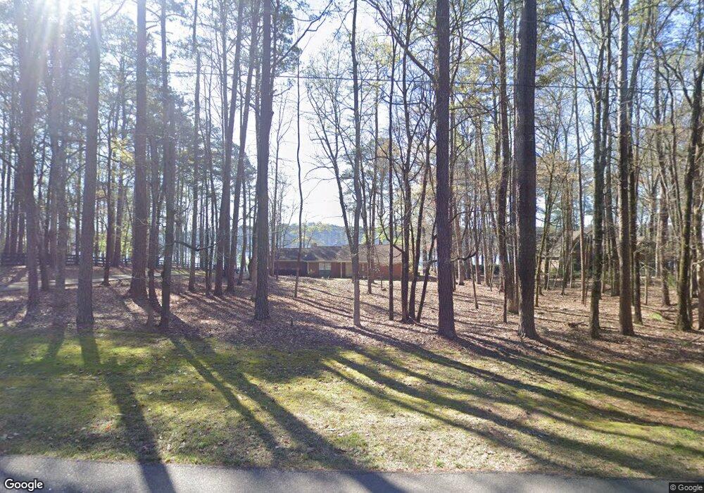
1280 Buckhead Dr Unit 7 Greensboro, GA 30642
Estimated Value: $979,522 - $1,313,000
3
Beds
2
Baths
1,504
Sq Ft
$748/Sq Ft
Est. Value
About This Home
This home is located at 1280 Buckhead Dr Unit 7, Greensboro, GA 30642 and is currently estimated at $1,124,631, approximately $747 per square foot. 1280 Buckhead Dr Unit 7 is a home located in Greene County with nearby schools including Greene County High School.
Ownership History
Date
Name
Owned For
Owner Type
Purchase Details
Closed on
Jan 25, 2019
Sold by
Stone Roy Moses
Bought by
Stone Vicki Lynn
Current Estimated Value
Purchase Details
Closed on
Jul 28, 2015
Sold by
Stone Lois Virginia
Bought by
Stone Roy Moses
Purchase Details
Closed on
Apr 6, 2011
Sold by
Stone Roy M and Stone Lois Virginia
Bought by
Stone Roy M and Stone Lois Virginia
Purchase Details
Closed on
May 30, 1996
Sold by
Sweezy Jeanne R
Bought by
Lois Virginia Stone Vacation--
Purchase Details
Closed on
May 10, 1995
Sold by
Sweezy Ronald K and Sweezy Jeanne R
Bought by
Sweezy Jeanne R
Purchase Details
Closed on
Sep 30, 1993
Sold by
Sweezy Jeanne R and Sweezy Ronald K
Bought by
Sweezy Ronald K and Sweezy Jeanne R
Purchase Details
Closed on
Oct 8, 1991
Sold by
Klatt Gerald R Trustee
Bought by
Sweezy Jeanne R and Sweezy Ronald K
Purchase Details
Closed on
Jan 29, 1991
Sold by
Klatt Gerald R
Bought by
Klatt Gerald R Trustee
Purchase Details
Closed on
Jan 28, 1991
Sold by
Klatt Walter H Trustee
Bought by
Klatt Gerald R
Purchase Details
Closed on
Jan 1, 1985
Sold by
Klatt Walter H
Bought by
Klatt Walter H Trustee
Purchase Details
Closed on
Jan 1, 1984
Sold by
Wolski William F
Bought by
Klatt Walter H
Purchase Details
Closed on
Jan 1, 1974
Bought by
Wolski William F
Create a Home Valuation Report for This Property
The Home Valuation Report is an in-depth analysis detailing your home's value as well as a comparison with similar homes in the area
Home Values in the Area
Average Home Value in this Area
Purchase History
| Date | Buyer | Sale Price | Title Company |
|---|---|---|---|
| Stone Vicki Lynn | -- | -- | |
| Stone Roy Moses | -- | -- | |
| Stone Roy M | -- | -- | |
| Lois Virginia Stone Vacation-- | $167,300 | -- | |
| Sweezy Jeanne R | -- | -- | |
| Sweezy Ronald K | -- | -- | |
| Sweezy Jeanne R | $138,000 | -- | |
| Klatt Gerald R Trustee | -- | -- | |
| Klatt Gerald R | -- | -- | |
| Klatt Walter H Trustee | -- | -- | |
| Klatt Walter H | -- | -- | |
| Wolski William F | -- | -- |
Source: Public Records
Tax History Compared to Growth
Tax History
| Year | Tax Paid | Tax Assessment Tax Assessment Total Assessment is a certain percentage of the fair market value that is determined by local assessors to be the total taxable value of land and additions on the property. | Land | Improvement |
|---|---|---|---|---|
| 2024 | $4,864 | $309,920 | $224,000 | $85,920 |
| 2023 | $5,529 | $306,600 | $224,000 | $82,600 |
| 2022 | $4,854 | $267,920 | $203,600 | $64,320 |
| 2021 | $4,183 | $213,600 | $156,000 | $57,600 |
| 2020 | $3,129 | $143,720 | $106,920 | $36,800 |
| 2019 | $3,216 | $143,720 | $106,920 | $36,800 |
| 2018 | $3,199 | $143,720 | $106,920 | $36,800 |
| 2017 | $2,980 | $142,822 | $106,920 | $35,902 |
| 2016 | $2,996 | $143,898 | $106,920 | $36,978 |
| 2015 | $3,120 | $151,026 | $114,048 | $36,978 |
| 2014 | $3,132 | $147,916 | $114,048 | $33,868 |
Source: Public Records
Map
Nearby Homes
- 1430 Buckhead Dr
- 1800 Buckhead Dr
- 1991 Armour Bridge Rd
- 1251 Lake Club Dr
- 1341 Granite Cove Dr
- 1230 Lake Club Dr
- 1221 Lake Club Dr
- 1070 Prosperity Pointe
- 1070 Prosperity Point
- 1031 Hawks Bill Dr
- 1010 Portage Trail
- 1831 Parrotts Pointe Rd
- 1010 Tailwater
- 1050 Tailwater Unit A
- 1050 Tailwater
- 1030 Tailwater
- 1010 Creekside Unit A
- 1280 Buckhead Dr
- 1290 Buckhead Dr
- 1300 Buckhead Dr
- 1011 Oak Ridge Dr
- 1310 Buckhead Dr
- 1021 Oak Ridge Dr
- 1320 Buckhead Dr
- 1010 Oak Ridge Dr
- 1030 Oak Ridge Dr
- 1330 Buckhead Dr Unit 2
- 1330 Buckhead Dr
- 1210 Buckhead Dr
- 1020 Oak Ridge Dr
- Lot 14 Buckhead Dr
- 1230 Buckhead Dr
- 1350 Buckhead Dr
- 0 Sandy Creek Dr
- 1040 Sandy Creek Dr
- 1420 Buckhead Dr
- 1410 Buckhead Dr