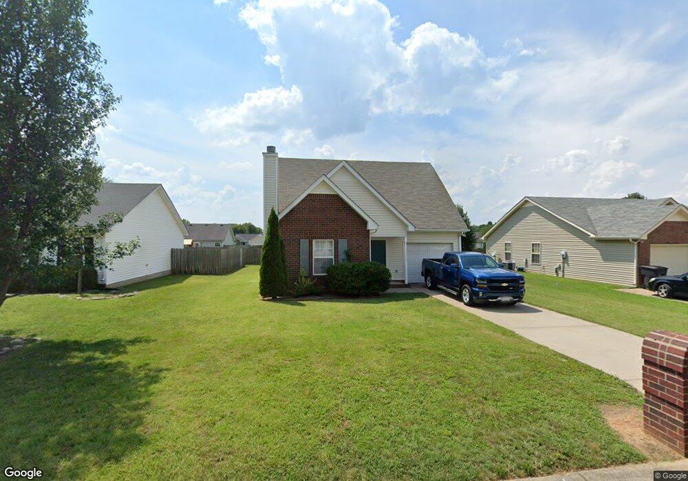
1280 Dalmally Dr Murfreesboro, TN 37128
Estimated Value: $283,482 - $340,000
Studio
2
Baths
1,321
Sq Ft
$245/Sq Ft
Est. Value
About This Home
This home is located at 1280 Dalmally Dr, Murfreesboro, TN 37128 and is currently estimated at $323,371, approximately $244 per square foot. 1280 Dalmally Dr is a home located in Rutherford County with nearby schools including Scales Elementary School, Rockvale Middle School, and Rockvale High School.
Ownership History
Date
Name
Owned For
Owner Type
Purchase Details
Closed on
Sep 21, 2007
Sold by
Delano Olubisi B
Bought by
Cromwell Joshua A and Cromwell Amanda L
Current Estimated Value
Home Financials for this Owner
Home Financials are based on the most recent Mortgage that was taken out on this home.
Original Mortgage
$122,576
Outstanding Balance
$77,288
Interest Rate
6.49%
Estimated Equity
$246,083
Create a Home Valuation Report for This Property
The Home Valuation Report is an in-depth analysis detailing your home's value as well as a comparison with similar homes in the area
Home Values in the Area
Average Home Value in this Area
Purchase History
| Date | Buyer | Sale Price | Title Company |
|---|---|---|---|
| Cromwell Joshua A | $124,500 | -- |
Source: Public Records
Mortgage History
| Date | Status | Borrower | Loan Amount |
|---|---|---|---|
| Open | Cromwell Joshua A | $122,576 |
Source: Public Records
Tax History
| Year | Tax Paid | Tax Assessment Tax Assessment Total Assessment is a certain percentage of the fair market value that is determined by local assessors to be the total taxable value of land and additions on the property. | Land | Improvement |
|---|---|---|---|---|
| 2025 | $1,701 | $60,125 | $13,750 | $46,375 |
| 2024 | $1,701 | $60,125 | $13,750 | $46,375 |
| 2023 | $1,121 | $59,750 | $13,750 | $46,000 |
| 2022 | $966 | $59,750 | $13,750 | $46,000 |
| 2021 | $917 | $41,325 | $9,375 | $31,950 |
| 2020 | $917 | $41,325 | $9,375 | $31,950 |
| 2019 | $917 | $41,325 | $9,375 | $31,950 |
| 2018 | $1,260 | $41,325 | $0 | $0 |
| 2017 | $1,159 | $29,800 | $0 | $0 |
| 2016 | $1,159 | $29,800 | $0 | $0 |
| 2015 | $1,159 | $29,800 | $0 | $0 |
| 2014 | $741 | $29,800 | $0 | $0 |
| 2013 | -- | $30,500 | $0 | $0 |
Source: Public Records
Map
Nearby Homes
- 3141 Holsted Dr
- 1241 Mac Duff Dr
- 3050 Weybridge Dr
- 1606 Saint Andrews Dr
- 3337 Alta Ln
- 3012 Roscommon Dr
- 1447 Doc Johns Blvd
- 1909 Judson Johns Ct
- 3352 Alta Ln
- 2911 Islington Dr
- 3533 Lehigh Dr
- 3229 Lexmark Cir
- 2724 Roscommon Dr
- 3045 Swilly Ct
- 3325 Cornerstone Dr
- 3332 Cornerstone Dr
- 2747 Stonehedge Dr
- 3216 Dupree Ln
- 2905 Stonehedge Dr
- 1819 Allwood Ave
- 1284 Dalmally Dr
- 1276 Dalmally Dr
- 1288 Dalmally Dr
- 1272 Dalmally Dr
- 3146 Holsted Dr
- 3142 Holsted Dr
- 3150 Holsted Dr
- 1281 Dalmally Dr
- 1285 Dalmally Dr
- 1277 Dalmally Dr
- 1292 Dalmally Dr
- 1268 Dalmally Dr
- 3138 Holsted Dr
- 1289 Dalmally Dr
- 1273 Dalmally Dr
- 3154 Holsted Dr
- 1271 Dalmally Dr
- 1293 Dalmally Dr
- 1269 Dalmally Dr
- 1264 Dalmally Dr
Your Personal Tour Guide
Ask me questions while you tour the home.