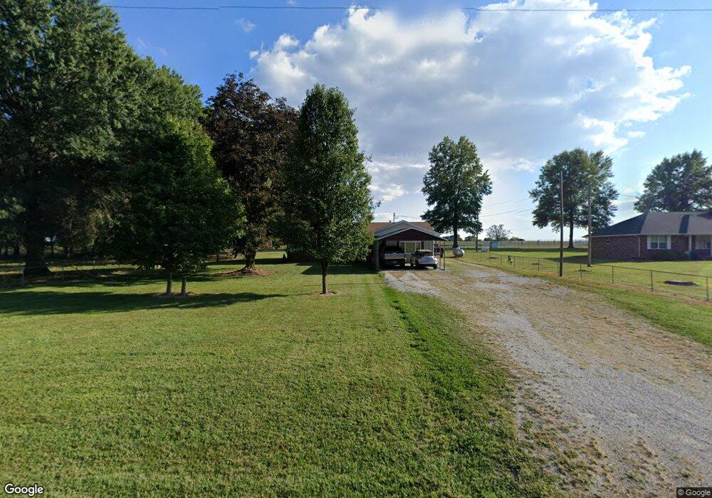
1280 E State Highway Ww Springfield, MO 65803
Estimated Value: $168,257 - $282,000
2
Beds
1
Bath
1,144
Sq Ft
$194/Sq Ft
Est. Value
About This Home
This home is located at 1280 E State Highway Ww, Springfield, MO 65803 and is currently estimated at $222,086, approximately $194 per square foot. 1280 E State Highway Ww is a home located in Greene County with nearby schools including Pleasant View K-8 School and Hillcrest High School.
Ownership History
Date
Name
Owned For
Owner Type
Purchase Details
Closed on
Dec 11, 2025
Sold by
Irvine Ricky and Irvine Patricia
Bought by
Irvine Family Trust and Irvine
Current Estimated Value
Purchase Details
Closed on
Mar 8, 2024
Sold by
Irvine Paul D
Bought by
Irvine Family Trust and Irvine
Purchase Details
Closed on
Apr 24, 2023
Sold by
Irvine Paul D and Irvine Denise B
Bought by
Irvine Paul D and Irvine Denise B
Home Financials for this Owner
Home Financials are based on the most recent Mortgage that was taken out on this home.
Original Mortgage
$50,000
Interest Rate
6.6%
Mortgage Type
Credit Line Revolving
Purchase Details
Closed on
May 22, 2017
Sold by
Irvine Dennis Boller
Bought by
Irvine Paul D
Purchase Details
Closed on
Feb 11, 2014
Sold by
Irvine Paul D
Bought by
Irvine Paul D and Irvine Denise Boller
Create a Home Valuation Report for This Property
The Home Valuation Report is an in-depth analysis detailing your home's value as well as a comparison with similar homes in the area
Purchase History
| Date | Buyer | Sale Price | Title Company |
|---|---|---|---|
| Irvine Family Trust | -- | None Listed On Document | |
| Irvine Family Trust | -- | None Listed On Document | |
| Irvine Paul D | -- | None Listed On Document | |
| Irvine Paul D | -- | None Available | |
| Irvine Paul D | -- | None Available | |
| Irvine Paul D | -- | None Available | |
| Irvine Paul D | -- | None Available |
Source: Public Records
Mortgage History
| Date | Status | Borrower | Loan Amount |
|---|---|---|---|
| Previous Owner | Irvine Paul D | $50,000 |
Source: Public Records
Tax History
| Year | Tax Paid | Tax Assessment Tax Assessment Total Assessment is a certain percentage of the fair market value that is determined by local assessors to be the total taxable value of land and additions on the property. | Land | Improvement |
|---|---|---|---|---|
| 2025 | $890 | $16,450 | $5,260 | $11,190 |
| 2024 | $841 | $14,530 | $3,150 | $11,380 |
| 2023 | $837 | $14,530 | $3,150 | $11,380 |
| 2022 | $782 | $13,300 | $3,150 | $10,150 |
| 2021 | $748 | $13,300 | $3,150 | $10,150 |
| 2020 | $730 | $12,330 | $3,150 | $9,180 |
| 2019 | $710 | $12,330 | $3,150 | $9,180 |
| 2018 | $610 | $10,540 | $3,150 | $7,390 |
| 2017 | $604 | $10,540 | $3,150 | $7,390 |
| 2016 | $603 | $10,540 | $3,150 | $7,390 |
| 2015 | $599 | $10,540 | $3,150 | $7,390 |
| 2014 | $602 | $10,540 | $3,150 | $7,390 |
Source: Public Records
Map
Nearby Homes
- 357 E State Highway Ww
- 6487 N Farm Road 171
- 6419 Wexford Ln
- 1021 W Farm Road 48
- 000 W Farm Road 76
- 2759 E Farm Road 48
- 856 874 E Farm Road 80
- 5382 N Lakewood Dr
- 1201 E Sunset Ln
- 555 E Farm Road 84
- 000 000 West Farm Road 76
- 440 E Farm Road 84
- 2543 E Theran Ave
- 2727 E Theran Ave E
- 000 E Farm Road 30 Unit 5
- 6752 N Farm Road 141
- 10033 N Farm Road 165
- Lot 4 E Theran Ave
- Lot 12 E Theran Ave
- Lot 5 E Theran Ave
- 1226 E State Highway Ww
- 7489 N State Highway H
- 1122 E State Highway Ww
- 1117 E State Highway Ww
- 1071 E State Highway Ww
- Track 3 E Farm Road 60
- 1082 E State Highway Ww
- 1016 E State Highway Ww
- 1558 E Farm Road 60
- 970 E State Highway Ww
- 7802 N State Highway H
- 1043 E State Highway Ww
- 7225 N Crystal Cave Ln
- 1508 E Farm Road 56
- 7896 N State Highway H
- 1355 E Crystal Hill Ln
- 1514 E Farm Road 56
- 7344 N Farm Road 159
- 1644 E Farm Road 56
- 1513 E Farm Road 56
Your Personal Tour Guide
Ask me questions while you tour the home.