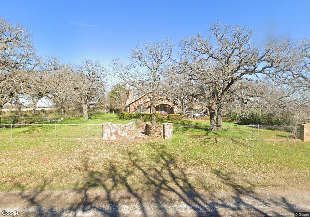
1280 Old Millsap Rd Weatherford, TX 76088
Estimated Value: $659,000
--
Bed
--
Bath
1,701
Sq Ft
$387/Sq Ft
Est. Value
About This Home
This home is located at 1280 Old Millsap Rd, Weatherford, TX 76088 and is currently estimated at $659,000, approximately $387 per square foot. 1280 Old Millsap Rd is a home located in Parker County with nearby schools including Millsap Elementary School, Millsap Middle School, and Millsap High School.
Ownership History
Date
Name
Owned For
Owner Type
Purchase Details
Closed on
Feb 18, 2015
Sold by
Cline Bettie H
Bought by
Cline Bettie Harbin Co Trustee
Current Estimated Value
Purchase Details
Closed on
Jul 29, 1997
Bought by
Cline Bettie Harbin Co Trustee
Purchase Details
Closed on
May 30, 1996
Bought by
Cline Bettie Harbin Co Trustee
Purchase Details
Closed on
Oct 21, 1988
Bought by
Cline Bettie Harbin Co Trustee
Create a Home Valuation Report for This Property
The Home Valuation Report is an in-depth analysis detailing your home's value as well as a comparison with similar homes in the area
Home Values in the Area
Average Home Value in this Area
Purchase History
| Date | Buyer | Sale Price | Title Company |
|---|---|---|---|
| Cline Bettie Harbin Co Trustee | -- | -- | |
| Cline Bettie Harbin Co Trustee | -- | -- | |
| Cline Bettie Harbin Co Trustee | -- | -- | |
| Cline Bettie Harbin Co Trustee | -- | -- |
Source: Public Records
Tax History Compared to Growth
Tax History
| Year | Tax Paid | Tax Assessment Tax Assessment Total Assessment is a certain percentage of the fair market value that is determined by local assessors to be the total taxable value of land and additions on the property. | Land | Improvement |
|---|---|---|---|---|
| 2025 | $822 | $254,886 | -- | -- |
| 2024 | $822 | $231,715 | -- | -- |
| 2023 | $822 | $210,650 | $0 | $0 |
| 2022 | $3,634 | $208,470 | $14,220 | $194,250 |
| 2021 | $3,622 | $208,470 | $14,220 | $194,250 |
| 2020 | $3,405 | $185,630 | $17,180 | $168,450 |
| 2019 | $3,319 | $185,630 | $17,180 | $168,450 |
| 2018 | $3,052 | $149,090 | $10,500 | $138,590 |
| 2017 | $2,872 | $149,090 | $10,500 | $138,590 |
| 2016 | $2,611 | $108,100 | $8,730 | $99,370 |
| 2015 | $1,107 | $108,100 | $8,730 | $99,370 |
| 2014 | $1,238 | $92,170 | $8,200 | $83,970 |
Source: Public Records
Map
Nearby Homes
- 800 Fox Rd
- 222 Fox Rd
- 112 Bruce Crandall Ct
- 124 Mike Thornton Ct
- 144 Graystone Dr
- 1000 Lambert Ct
- 1012 Lambert Ct
- 3736 Hott Ln
- 3696 W Lambert Rd
- 1027 Oak Bend Ln
- 4204 Greenwood Rd
- 4710 Mineral Wells Hwy
- 5878 Greenwood Rd
- 3900 Hott Ln
- 117 Graystone Dr
- 1019 Oak Bend Ln
- 1001 W Lambert Ct
- 119 Forest Creek Cir
- 134 Forest Creek Cir
- 103 Saddle Club Rd
- 1451 Old Millsap Rd
- 1304 Old Millsap Rd
- 145 Cottongame Dr
- 105 Cottongame Dr
- 1331 Old Millsap Rd
- 800 Heathington Rd
- 710 Heathington Rd
- 780 Heathington Rd
- 602 Robinson Rd
- 760 Heathington Rd
- 1351 Old Millsap Rd
- 290 Robinson Rd
- 740 Heathington Rd
- 307 Robinson Rd
- 780 Heathington Rd
- 1401 Old Millsap Rd
- 800 Heathington Rd
- 875 Heathington Rd
- 150 Beulah Rd
- 130 Beulah Rd