1280 Sane Rd SE Dalton, GA 30721
Estimated Value: $284,000 - $397,000
--
Bed
2
Baths
1,974
Sq Ft
$167/Sq Ft
Est. Value
About This Home
This home is located at 1280 Sane Rd SE, Dalton, GA 30721 and is currently estimated at $328,739, approximately $166 per square foot. 1280 Sane Rd SE is a home located in Whitfield County with nearby schools including Antioch Elementary School, Eastbrook Middle School, and Southeast Whitfield County High School.
Ownership History
Date
Name
Owned For
Owner Type
Purchase Details
Closed on
Nov 13, 2006
Sold by
Osborne James Daniel
Bought by
Wilbanks Sheila Wells
Current Estimated Value
Purchase Details
Closed on
Aug 30, 2006
Sold by
Not Provided
Bought by
Wilbanks Sheila
Home Financials for this Owner
Home Financials are based on the most recent Mortgage that was taken out on this home.
Original Mortgage
$92,800
Interest Rate
6.58%
Mortgage Type
New Conventional
Purchase Details
Closed on
Apr 1, 1991
Bought by
Wilbanks Michael and Wilbanks Shelia
Create a Home Valuation Report for This Property
The Home Valuation Report is an in-depth analysis detailing your home's value as well as a comparison with similar homes in the area
Home Values in the Area
Average Home Value in this Area
Purchase History
| Date | Buyer | Sale Price | Title Company |
|---|---|---|---|
| Wilbanks Sheila Wells | $225,000 | -- | |
| Wilbanks Sheila | -- | -- | |
| Wilbanks Michael | -- | -- |
Source: Public Records
Mortgage History
| Date | Status | Borrower | Loan Amount |
|---|---|---|---|
| Previous Owner | Wilbanks Sheila | $92,800 |
Source: Public Records
Tax History Compared to Growth
Tax History
| Year | Tax Paid | Tax Assessment Tax Assessment Total Assessment is a certain percentage of the fair market value that is determined by local assessors to be the total taxable value of land and additions on the property. | Land | Improvement |
|---|---|---|---|---|
| 2024 | $2,100 | $106,574 | $19,708 | $86,866 |
| 2023 | $2,100 | $77,731 | $12,613 | $65,118 |
| 2022 | $1,603 | $62,893 | $12,377 | $50,516 |
| 2021 | $1,603 | $62,893 | $12,377 | $50,516 |
| 2020 | $1,646 | $62,893 | $12,377 | $50,516 |
| 2019 | $1,668 | $62,893 | $12,377 | $50,516 |
| 2018 | $1,632 | $61,092 | $10,576 | $50,516 |
| 2017 | $1,633 | $61,092 | $10,576 | $50,516 |
| 2016 | $1,455 | $56,855 | $10,576 | $46,279 |
| 2014 | $1,398 | $59,342 | $13,064 | $46,279 |
| 2013 | -- | $59,342 | $13,063 | $46,278 |
Source: Public Records
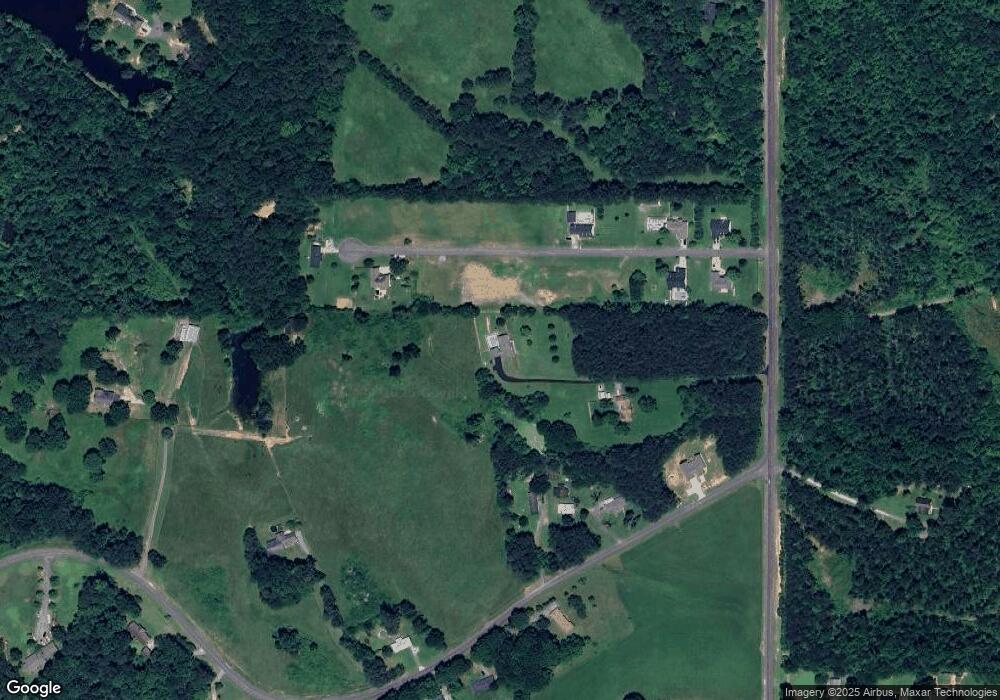
Map
Nearby Homes
- 00 Gaines Rd SE
- 2200 Ridge Rd SE
- 1142 Ben Hill Rd SE
- 3657 Airport Rd
- 104 Riverview Dr SE
- 01 Headrick Cir SE
- 00 Headrick Cir SE
- 4322 Banks Dr SE
- 760 Keith Rd SE
- 4988 Tibbs Bridge Rd SE
- 185 Cedar Ridge Rd
- 1271 Ridge Rd SE
- 0 Ledford Ave SE
- 59 Terrace Ct
- 296 Wagner Dr
- 4386 Tibbs Bridge Rd SE
- 741 North Dr SE
- 2442 Tibbs Bridge Rd
- 215 Wagner Dr
- 00 Hill Rd
- 2055 Eastview Dr
- 2055 East View Dr
- 2055 E View Dr
- 1288 Sane Rd SE
- 2020 East View Dr
- 2681 Ridge Rd SE
- 00 Eastview Dr
- 2015 East View Dr
- 2015 E View Dr
- 2015 Eastview Dr
- 2070 East View Dr
- 2010 Eastview Dr
- 2010 East View Dr
- 2685 Ridge Rd SE
- 2689 Ridge Rd SE
- 2005 Eastview Dr
- 2005 East View Dr
- 2005 E View Dr
- Lot 3 Eastview Dr
- Lot 12 Eastview Dr