1280 Shakerag Rd Buckhead, GA 30625
Buckhead Morgan NeighborhoodEstimated Value: $1,187,000 - $1,958,532
3
Beds
4
Baths
4,098
Sq Ft
$384/Sq Ft
Est. Value
About This Home
This home is located at 1280 Shakerag Rd, Buckhead, GA 30625 and is currently estimated at $1,572,766, approximately $383 per square foot. 1280 Shakerag Rd is a home located in Morgan County with nearby schools including Morgan County Primary School, Morgan County Elementary School, and Morgan County Middle School.
Ownership History
Date
Name
Owned For
Owner Type
Purchase Details
Closed on
Dec 30, 1999
Sold by
Brown George W
Bought by
Bradley Charles W
Current Estimated Value
Purchase Details
Closed on
Dec 7, 1999
Sold by
Bradley Charles W
Bought by
Brown George W
Purchase Details
Closed on
Oct 23, 1996
Sold by
Caudill Sharon J
Bought by
Bradley Charles W
Create a Home Valuation Report for This Property
The Home Valuation Report is an in-depth analysis detailing your home's value as well as a comparison with similar homes in the area
Home Values in the Area
Average Home Value in this Area
Purchase History
| Date | Buyer | Sale Price | Title Company |
|---|---|---|---|
| Bradley Charles W | -- | -- | |
| Brown George W | -- | -- | |
| Bradley Charles W | $132,100 | -- |
Source: Public Records
Tax History Compared to Growth
Tax History
| Year | Tax Paid | Tax Assessment Tax Assessment Total Assessment is a certain percentage of the fair market value that is determined by local assessors to be the total taxable value of land and additions on the property. | Land | Improvement |
|---|---|---|---|---|
| 2025 | $6,367 | $430,555 | $150,801 | $279,754 |
| 2024 | $6,457 | $405,219 | $150,801 | $254,418 |
| 2023 | $5,919 | $374,336 | $149,457 | $224,879 |
| 2022 | $5,627 | $353,145 | $149,457 | $203,688 |
| 2021 | $5,619 | $347,481 | $143,792 | $203,689 |
| 2020 | $5,268 | $325,650 | $131,370 | $194,280 |
| 2019 | $5,130 | $317,332 | $131,370 | $185,962 |
| 2018 | $5,192 | $306,584 | $120,622 | $185,962 |
| 2017 | $8,010 | $309,200 | $120,622 | $188,578 |
| 2016 | $5,153 | $298,156 | $119,428 | $178,728 |
| 2015 | $5,135 | $301,560 | $124,960 | $176,600 |
| 2014 | $3,969 | $244,960 | $107,720 | $137,240 |
| 2013 | -- | $220,080 | $110,320 | $109,760 |
Source: Public Records
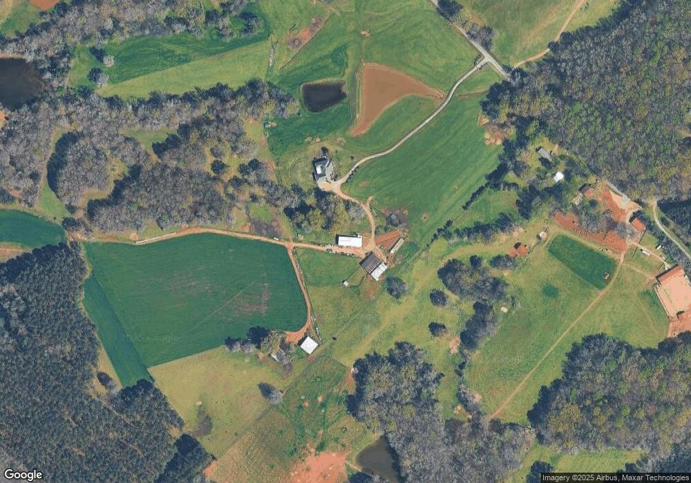
Map
Nearby Homes
- 0 Parks Mill Rd Unit 10429860
- 1280 Swords Rd
- 1070 Cedar Grove Dr
- 1050 Cedar Grove Dr
- 1041 Holstein Rd
- 0 Saffold Rd Unit 7610601
- 0 Saffold Rd Unit 10560494
- 1731 Blue Springs Rd
- 0 Seven Islands Rd Unit 50788
- 0 Seven Islands Rd Unit 1021534
- 0 Seven Islands Rd Unit 67105
- 0 Seven Islands Rd Unit 10593386
- 1111 Dockside Dr Unit 1111 Dockside Dr
- 1111 Dockside Dr
- 0 Parks Mill Ln Unit 10492081
- Saffold Rd
- 6.70 +/- ACRES Cedar Grove Rd
- 1130 Dockside Dr Unit 6
- 1130 Dockside Dr
- 1141 Kingston Rd
- 1200 Shakerag Rd
- 1250 Shakerag Rd
- 0 Shakerag Rd Unit 8286778
- 0 Shakerag Rd Unit 8252971
- 0 Shakerag Rd Unit 7541971
- 0 Shakerag Rd Unit 5616751
- 0 Shakerag Rd Unit 8751517
- 0 Shakerag Rd Unit 8627357
- 0 Shakerag Rd Unit 8626653
- 0 Shakerag Rd Unit 8611278
- 0 Shakerag Rd Unit 38819
- 0 Shakerag Rd Unit 48391
- 1271 Shakerag Rd
- 1181 Shakerag Rd
- 1331 Shakerag Rd
- 1340 Shakerag Rd
- 1186 Shakerag Rd
- 1530 Shakerag Rd
- 1570 Shakerag Rd
- 0 Shakerage Rd Unit 7342794