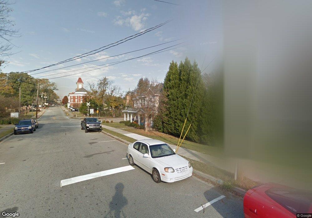
1280 Shamrock St Macon, GA 31201
Bealls Hill Historic District NeighborhoodEstimated Value: $276,031 - $376,000
6
Beds
2
Baths
2,240
Sq Ft
$139/Sq Ft
Est. Value
About This Home
This home is located at 1280 Shamrock St, Macon, GA 31201 and is currently estimated at $312,008, approximately $139 per square foot. 1280 Shamrock St is a home located in Bibb County with nearby schools including Ingram-Pye Elementary School, Southwest High School, and St. Joseph's Catholic School.
Ownership History
Date
Name
Owned For
Owner Type
Purchase Details
Closed on
Oct 22, 2015
Sold by
Boulware Charles L
Bought by
Jk2 Grp Llc
Current Estimated Value
Purchase Details
Closed on
Aug 3, 2010
Sold by
The Macon Bibb County Land Bank Authorit
Bought by
Boulware Charles L
Purchase Details
Closed on
Jan 30, 2009
Sold by
Beall'S Hill Dev Corp
Bought by
The Macon Bibb Co Land Bank
Create a Home Valuation Report for This Property
The Home Valuation Report is an in-depth analysis detailing your home's value as well as a comparison with similar homes in the area
Home Values in the Area
Average Home Value in this Area
Purchase History
| Date | Buyer | Sale Price | Title Company |
|---|---|---|---|
| Jk2 Grp Llc | $180,000 | -- | |
| Boulware Charles L | $148,000 | None Available | |
| The Macon Bibb Co Land Bank | -- | -- |
Source: Public Records
Tax History Compared to Growth
Tax History
| Year | Tax Paid | Tax Assessment Tax Assessment Total Assessment is a certain percentage of the fair market value that is determined by local assessors to be the total taxable value of land and additions on the property. | Land | Improvement |
|---|---|---|---|---|
| 2025 | $2,436 | $99,109 | $6,600 | $92,509 |
| 2024 | $2,517 | $99,109 | $6,600 | $92,509 |
| 2023 | $2,110 | $83,091 | $6,000 | $77,091 |
| 2022 | $3,318 | $95,827 | $8,048 | $87,779 |
| 2021 | $2,773 | $72,979 | $6,191 | $66,788 |
| 2020 | $2,833 | $72,979 | $6,191 | $66,788 |
| 2019 | $2,857 | $72,979 | $6,191 | $66,788 |
| 2018 | $4,735 | $72,979 | $6,191 | $66,788 |
| 2017 | $2,615 | $69,799 | $6,191 | $63,608 |
| 2016 | $2,415 | $69,799 | $6,191 | $63,608 |
| 2015 | $3,194 | $65,232 | $6,191 | $59,041 |
| 2014 | $3,674 | $65,232 | $6,191 | $59,041 |
Source: Public Records
Map
Nearby Homes
- 1035 Oglethorpe St
- 1381 Jackson St
- 1119 Adams St
- 940 Cole St
- 1088 Elm St
- 980 Highland Terrace
- 1590 Telfair St
- 1661 Lawton Ave
- 791 Liberty St
- 1258 Rev J L Mills Sr Way
- 1687 Lawton Ave
- 1826 Chestnut St
- 619 College St
- 632 Monroe St
- 745 Pebble St
- 611 Monroe St
- 1470 2nd St
- 1048 Mckenna Ave
- 1446 Marion Place
- 1425 3rd St
- 1260 Shamrock St
- 1272 Shamrock St
- 1115 Ash St
- 1256 Shamrock St
- 1116 Ash St
- 1295 Ross St
- 1142 Ash St
- 1311 Ross St
- 1273 Ross Street Ln
- 1248 Shamrock St
- 1252 Shamrock St
- 1315 Ross St
- 1263 Ross St
- 1244 Shamrock St
- 1249 Ross St Unit A
- 1249 Ross St Unit B
- 1239 Ross St
- 1081 Ash St
- 0 Shamrock St Unit 7103393
- 1329 Ross St
