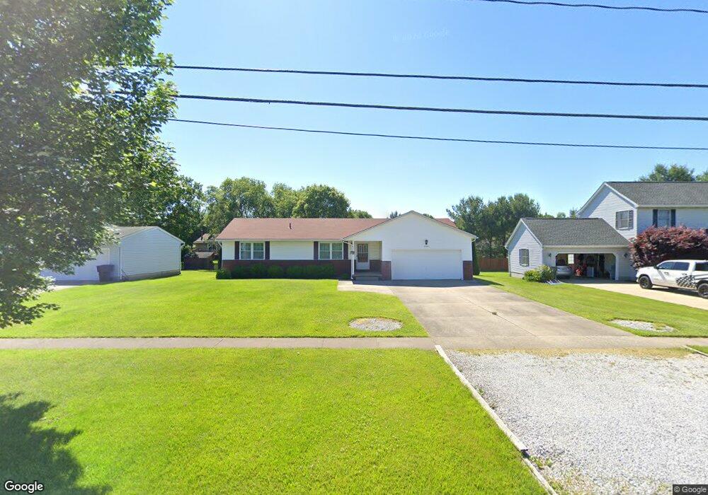
1280 State Rd Wadsworth, OH 44281
Estimated Value: $210,000 - $302,000
2
Beds
7
Baths
1,280
Sq Ft
$191/Sq Ft
Est. Value
About This Home
This home is located at 1280 State Rd, Wadsworth, OH 44281 and is currently estimated at $244,872, approximately $191 per square foot. 1280 State Rd is a home located in Medina County with nearby schools including Valley View Elementary School, Central Intermediate School, and Wadsworth Middle School.
Ownership History
Date
Name
Owned For
Owner Type
Purchase Details
Closed on
Sep 15, 2023
Sold by
Wellman Thomas L
Bought by
Keith Kimberly E
Current Estimated Value
Home Financials for this Owner
Home Financials are based on the most recent Mortgage that was taken out on this home.
Original Mortgage
$50,000
Outstanding Balance
$45,710
Interest Rate
6.25%
Mortgage Type
New Conventional
Estimated Equity
$199,163
Purchase Details
Closed on
Feb 24, 2010
Sold by
Wellman Thomas L and Surv Laura V
Bought by
Wellman Laura V
Create a Home Valuation Report for This Property
The Home Valuation Report is an in-depth analysis detailing your home's value as well as a comparison with similar homes in the area
Home Values in the Area
Average Home Value in this Area
Purchase History
| Date | Buyer | Sale Price | Title Company |
|---|---|---|---|
| Keith Kimberly E | $100,000 | None Listed On Document | |
| Wellman Laura V | -- | -- |
Source: Public Records
Mortgage History
| Date | Status | Borrower | Loan Amount |
|---|---|---|---|
| Open | Keith Kimberly E | $50,000 |
Source: Public Records
Tax History Compared to Growth
Tax History
| Year | Tax Paid | Tax Assessment Tax Assessment Total Assessment is a certain percentage of the fair market value that is determined by local assessors to be the total taxable value of land and additions on the property. | Land | Improvement |
|---|---|---|---|---|
| 2024 | $2,791 | $63,570 | $21,880 | $41,690 |
| 2023 | $2,791 | $63,570 | $21,880 | $41,690 |
| 2022 | $2,415 | $63,570 | $21,880 | $41,690 |
| 2021 | $2,190 | $50,850 | $17,500 | $33,350 |
| 2020 | $1,929 | $50,850 | $17,500 | $33,350 |
| 2019 | $1,932 | $50,850 | $17,500 | $33,350 |
| 2018 | $1,921 | $48,030 | $19,760 | $28,270 |
| 2017 | $1,922 | $48,030 | $19,760 | $28,270 |
| 2016 | $1,953 | $48,030 | $19,760 | $28,270 |
| 2015 | $1,852 | $44,070 | $18,130 | $25,940 |
| 2014 | $1,882 | $44,070 | $18,130 | $25,940 |
| 2013 | $1,885 | $44,070 | $18,130 | $25,940 |
Source: Public Records
Map
Nearby Homes
- 1397 Harmony Dr
- 1400 Harmony Dr
- 354 Edenmore St
- 4896 Ridge Rd
- 1384 Tullamore Trail
- 1031 Ledgestone Dr
- Riverton Plan at Highlands of Sharon
- Hilltop Plan at Highlands of Sharon
- Greenfield Plan at Highlands of Sharon
- Westchester Plan at Highlands of Sharon
- Amberwood Plan at Highlands of Sharon
- 1396 Tullamore Trail
- 1414 Tullamore Trail
- 1570 Reimer Rd
- 944 Reedy Dr
- 1250 Reserve Blvd
- 189 Park Place Dr Unit 122
- 8193 Hartman Rd
- 563 Rockglen Dr
- 1199 Reserve Blvd
- 1272 State Rd
- 1288 State Rd
- 1279 Harmony Dr
- 1264 State Rd
- 1296 State Rd
- 1287 Harmony Dr
- 1271 Harmony Dr
- 1263 Harmony Dr
- 1295 Harmony Dr
- 1304 State Rd
- 117 Coalridge Pkwy
- 1254 State Rd
- 119 Britestone Ave
- 117 Britestone Ave
- 121 Britestone Ave
- 1303 Harmony Dr
- 113 Britestone Ave
- 1312 State Rd
- 130 Stauffer Dr
- 115 Britestone Ave