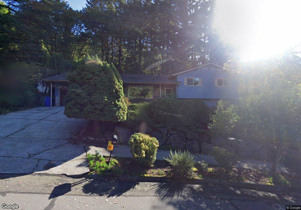
1280 SW 33rd St Gresham, OR 97080
Gresham Butte NeighborhoodEstimated Value: $506,000 - $566,000
3
Beds
3
Baths
1,320
Sq Ft
$405/Sq Ft
Est. Value
About This Home
This home is located at 1280 SW 33rd St, Gresham, OR 97080 and is currently estimated at $534,357, approximately $404 per square foot. 1280 SW 33rd St is a home located in Multnomah County with nearby schools including Dexter McCarty Middle School, Gresham High School, and Portland Adventist Elementary School.
Ownership History
Date
Name
Owned For
Owner Type
Purchase Details
Closed on
Jun 17, 2009
Sold by
Miletich John Z
Bought by
Miletich John Z and Miletich Barbara R
Current Estimated Value
Home Financials for this Owner
Home Financials are based on the most recent Mortgage that was taken out on this home.
Original Mortgage
$184,000
Interest Rate
4.82%
Mortgage Type
Stand Alone Refi Refinance Of Original Loan
Create a Home Valuation Report for This Property
The Home Valuation Report is an in-depth analysis detailing your home's value as well as a comparison with similar homes in the area
Home Values in the Area
Average Home Value in this Area
Purchase History
| Date | Buyer | Sale Price | Title Company |
|---|---|---|---|
| Miletich John Z | -- | Lawyers Title Insurance Corp |
Source: Public Records
Mortgage History
| Date | Status | Borrower | Loan Amount |
|---|---|---|---|
| Closed | Miletich John Z | $184,000 |
Source: Public Records
Tax History
| Year | Tax Paid | Tax Assessment Tax Assessment Total Assessment is a certain percentage of the fair market value that is determined by local assessors to be the total taxable value of land and additions on the property. | Land | Improvement |
|---|---|---|---|---|
| 2025 | $6,138 | $301,630 | -- | -- |
| 2024 | $5,876 | $292,850 | -- | -- |
| 2023 | $5,353 | $284,330 | $0 | $0 |
| 2022 | $5,204 | $276,050 | $0 | $0 |
| 2021 | $5,072 | $268,010 | $0 | $0 |
| 2020 | $4,773 | $260,210 | $0 | $0 |
| 2019 | $4,648 | $252,640 | $0 | $0 |
| 2018 | $4,432 | $245,290 | $0 | $0 |
| 2017 | $4,252 | $238,150 | $0 | $0 |
| 2016 | $3,749 | $231,220 | $0 | $0 |
Source: Public Records
Map
Nearby Homes
- 1320 SW 31st St
- 3120 SW Orchard Place
- 1278 SW 27th Ct
- 2520 SW Towle Ave
- 1261 SW Binford Lake Pkwy
- 1441 SW 23rd Ct
- 2160 SW 26th St
- 350 SW 37th Terrace
- 1421 SW Binford Lake Pkwy
- 3506 SW Battaglia Ave
- 3558 SW Battaglia Ave
- 3512 SW Battaglia Ave
- 3536 SW Battaglia Ave
- 3582 SW Battaglia Ave
- 3604 SW Battaglia Ave
- 3644 SW Battaglia Ave
- 3503 SW Battaglia Ave
- 3539 SW Battaglia Ave
- 3650 SW Binford Ave
- 1333 SW 19th Dr
- 1300 SW 33rd St
- 1260 SW 33rd St
- 1350 SW 33rd St
- 3290 SW Wallula Ave
- 1380 SW 33rd St
- 3285 SW Wallula Ave
- 1385 SW 33rd St
- 1420 SW 33rd St
- 3230 SW Wallula Ave
- 3235 SW Wallula Ave
- 1415 SW 33rd St
- 1460 SW 33rd St
- 3198 SW Wallula Ave
- 1467 SW 33rd St
- 1390 SW 31st St
- 3320 SW Towle Ave
- 1485 SW 33rd St
- 3430 SW Towle Ave
- 3100 SW Wallula Ave
- 3185 SW Wallula Ave
Your Personal Tour Guide
Ask me questions while you tour the home.