1280 W Highgate Ave Unit 6 West Bountiful, UT 84087
Estimated Value: $1,368,000 - $1,742,000
2
Beds
4
Baths
10,635
Sq Ft
$152/Sq Ft
Est. Value
About This Home
This home is located at 1280 W Highgate Ave Unit 6, West Bountiful, UT 84087 and is currently estimated at $1,614,578, approximately $151 per square foot. 1280 W Highgate Ave Unit 6 is a home located in Davis County with nearby schools including West Bountiful Elementary School, Bountiful Junior High School, and Viewmont High School.
Ownership History
Date
Name
Owned For
Owner Type
Purchase Details
Closed on
Oct 8, 2021
Sold by
Willey Todd S
Bought by
Willey Todd S and The Todd S Willey Trust
Current Estimated Value
Home Financials for this Owner
Home Financials are based on the most recent Mortgage that was taken out on this home.
Original Mortgage
$288,750
Outstanding Balance
$262,741
Interest Rate
2.8%
Mortgage Type
Commercial
Estimated Equity
$1,351,837
Create a Home Valuation Report for This Property
The Home Valuation Report is an in-depth analysis detailing your home's value as well as a comparison with similar homes in the area
Home Values in the Area
Average Home Value in this Area
Purchase History
| Date | Buyer | Sale Price | Title Company |
|---|---|---|---|
| Willey Todd S | -- | Stewart Title Insurance Agcy | |
| Willey Todd S | -- | Stewart Title Ins Agi | |
| Willey Todd S | -- | Stewart Title |
Source: Public Records
Mortgage History
| Date | Status | Borrower | Loan Amount |
|---|---|---|---|
| Open | Willey Todd S | $288,750 | |
| Closed | Willey Todd S | $288,750 |
Source: Public Records
Tax History Compared to Growth
Tax History
| Year | Tax Paid | Tax Assessment Tax Assessment Total Assessment is a certain percentage of the fair market value that is determined by local assessors to be the total taxable value of land and additions on the property. | Land | Improvement |
|---|---|---|---|---|
| 2025 | $7,698 | $598,045 | $259,227 | $338,818 |
| 2024 | $7,358 | $598,045 | $259,227 | $338,818 |
| 2023 | $6,615 | $531,361 | $192,542 | $338,818 |
| 2022 | $4,960 | $689,169 | $341,408 | $347,761 |
| 2021 | $4,626 | $295,241 | $295,241 | $0 |
Source: Public Records
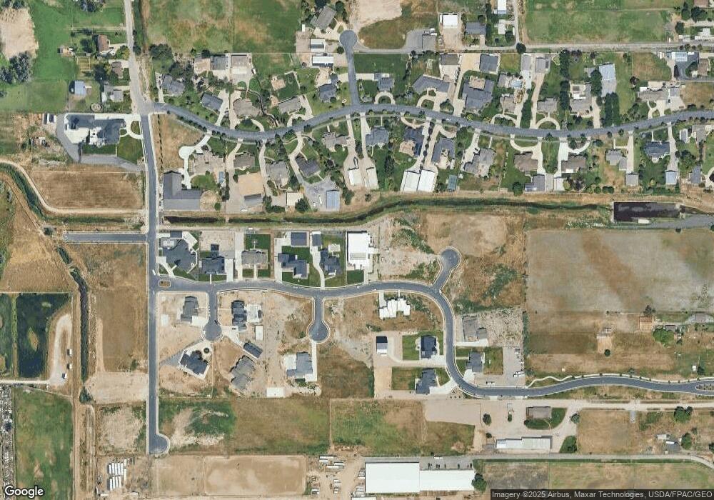
Map
Nearby Homes
- 280 N 1100 W
- Carson Plan at Amberly Place
- 2050 Farmhouse Plan at Amberly Place
- Pasadena (Inactive) Plan at Amberly Place
- Portland Plan at Amberly Place
- 1075 W Audrey Ln Unit 6
- 1067 W Audrey Ln Unit 8
- 1072 W Audrey Ln Unit 17
- 1064 W Audrey Ln Unit 15
- 1056 W Audrey Ln Unit 14
- 1069 W Linden Ln Unit 31
- 1309 W 1200 S
- 1334 W 1300 S
- 1422 W 1300 S
- 767 W 220 N
- 1288 S 1050 W
- 680 W 500 S Unit 22
- 680 W 500 S Unit 17
- 758 W 1000 S
- 743 W 1000 S
- 1290 W Highgate Ave Unit 5
- 1290 W Highgate Ave Unit 5
- 1253 W Highgate Ave
- 1253 W Highgate Ave Unit 16
- 1253 W Highgate Ave Unit 15
- 1312 W Highgate Ave Unit 4
- 1312 W Highgate Ave
- 37 S Belcourt Cir Unit 8
- 1305 W Highgate Ave S Unit 19
- 127 S Steelman Cir Unit 19
- 154 S Steelman Cir
- 38 S Belcourt Cir Unit 8
- 38 S Belcourt Cir
- 1353 Millbridge Ln
- 1226 W Highgate Ave Unit 11
- 1354 W Highgate Ave Unit 3
- 157 S Steelman Cir Unit 18
- 1331 Millbridge Ln
- 1307 Millbridge Ln
- 1371 Millbridge Ln