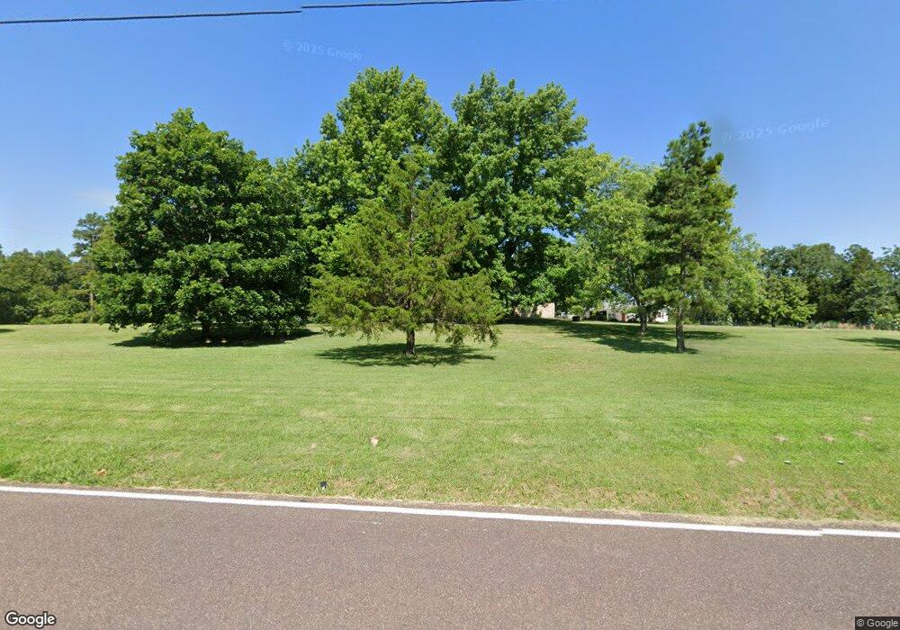
12801 Peter Moore Ln de Soto, MO 63020
Estimated Value: $350,887 - $410,000
--
Bed
1
Bath
1,962
Sq Ft
$196/Sq Ft
Est. Value
About This Home
This home is located at 12801 Peter Moore Ln, de Soto, MO 63020 and is currently estimated at $385,472, approximately $196 per square foot. 12801 Peter Moore Ln is a home located in Jefferson County with nearby schools including De Soto Senior High School and St Rose Of Lima School.
Ownership History
Date
Name
Owned For
Owner Type
Purchase Details
Closed on
Aug 10, 2004
Sold by
Garner Donald and Garner Anna
Bought by
Urness James M and Urness Mary A
Current Estimated Value
Home Financials for this Owner
Home Financials are based on the most recent Mortgage that was taken out on this home.
Original Mortgage
$183,000
Outstanding Balance
$81,600
Interest Rate
4.5%
Mortgage Type
Purchase Money Mortgage
Estimated Equity
$303,872
Create a Home Valuation Report for This Property
The Home Valuation Report is an in-depth analysis detailing your home's value as well as a comparison with similar homes in the area
Home Values in the Area
Average Home Value in this Area
Purchase History
| Date | Buyer | Sale Price | Title Company |
|---|---|---|---|
| Urness James M | -- | Commonwealth Land Title |
Source: Public Records
Mortgage History
| Date | Status | Borrower | Loan Amount |
|---|---|---|---|
| Open | Urness James M | $183,000 |
Source: Public Records
Tax History Compared to Growth
Tax History
| Year | Tax Paid | Tax Assessment Tax Assessment Total Assessment is a certain percentage of the fair market value that is determined by local assessors to be the total taxable value of land and additions on the property. | Land | Improvement |
|---|---|---|---|---|
| 2025 | $2,147 | $33,600 | $2,800 | $30,800 |
| 2024 | $2,147 | $31,000 | $2,800 | $28,200 |
| 2023 | $2,147 | $31,000 | $2,800 | $28,200 |
| 2022 | $2,085 | $30,200 | $1,400 | $28,800 |
| 2021 | $2,082 | $30,200 | $1,400 | $28,800 |
| 2020 | $1,919 | $27,000 | $1,100 | $25,900 |
| 2019 | $1,917 | $27,000 | $1,100 | $25,900 |
| 2018 | $1,917 | $27,000 | $1,100 | $25,900 |
| 2017 | $1,819 | $27,000 | $1,100 | $25,900 |
| 2016 | $1,693 | $24,700 | $1,100 | $23,600 |
| 2015 | $1,526 | $24,700 | $1,100 | $23,600 |
| 2013 | $1,526 | $24,000 | $1,200 | $22,800 |
Source: Public Records
Map
Nearby Homes
- 1650 Brandywine Dr
- 1645 Brandywine Dr
- 609 Devonshire Ln
- 613 Devonshire Ln
- 430 Dodson Ln
- 176 Briarwood Terrace
- 12219 Peter Moore Ln
- 109 Lakeshore Dr
- 121 Briarwood Terrace
- 12658 Dry Creek Rd
- 1805 Greg Dr
- 1601 Hawkwood Trail
- 1600 Hawkwood Trail
- 1444 Yellow Rock Rd
- 0 Missouri 21
- 13763 Vineland Rd
- 13160 Mammoth Rd
- 1561 Hickory Landing
- 1553 Hickory Landing
- 1551 Hickory Landing
- 12800 Peter Moore Ln
- 12765 Peter Moore Ln
- 12764 Peter Moore Ln
- 12824 Peter Moore Ln
- 12750 Peter Moore Ln
- 12747 Peter Moore Ln
- 12867 Peter Moore Ln
- 12735 Peter Moore Ln
- 12718 Peter Moore Ln
- 12719 Peter Moore Ln
- 5418 Paw Paw Ln
- 12906 Peter Moore Ln
- 5412 Paw Paw Ln
- 12921 Peter Moore Ln
- 12703 Peter Moore Ln
- 12679 Peter Moore Ln
- 5459 Paw Paw Ln
- 5463 Paw Paw Ln
- 12937 Peter Moore Ln
- 12950 Peter Moore Ln
