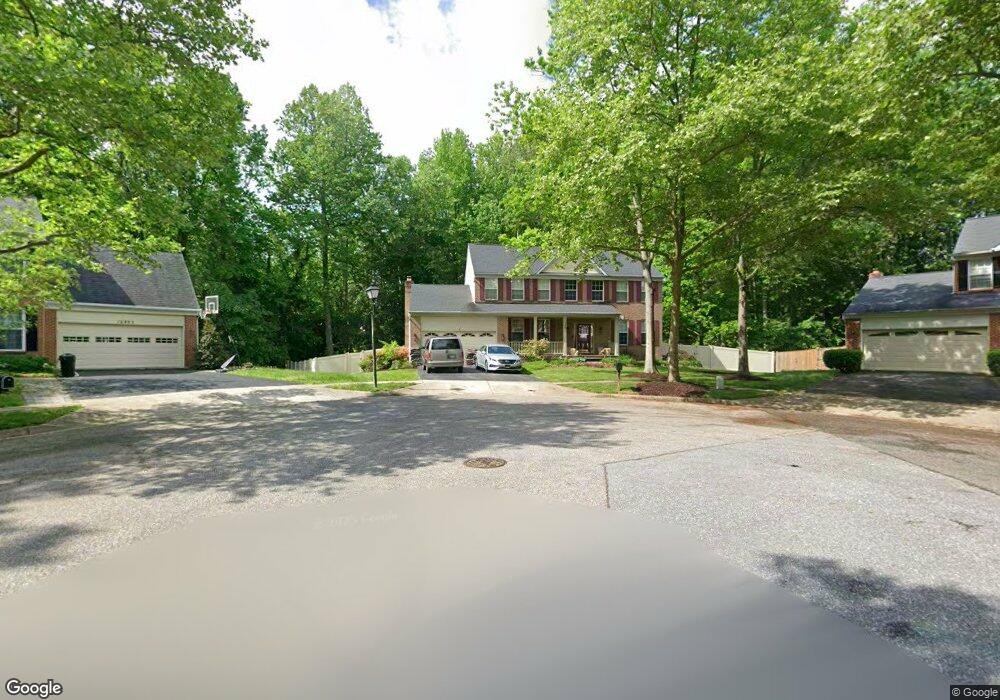
12801 Rhine Rd Upper Marlboro, MD 20772
Estimated Value: $569,000 - $702,000
--
Bed
3
Baths
2,864
Sq Ft
$213/Sq Ft
Est. Value
About This Home
This home is located at 12801 Rhine Rd, Upper Marlboro, MD 20772 and is currently estimated at $609,298, approximately $212 per square foot. 12801 Rhine Rd is a home located in Prince George's County with nearby schools including Barack Obama Elementary School, James Madison Middle School, and Dr. Henry A. Wise Jr. High School.
Ownership History
Date
Name
Owned For
Owner Type
Purchase Details
Closed on
Jan 30, 2015
Sold by
Cade Leroy B and Cade Ruth E
Bought by
Cade Leroy B
Current Estimated Value
Home Financials for this Owner
Home Financials are based on the most recent Mortgage that was taken out on this home.
Original Mortgage
$278,400
Outstanding Balance
$213,713
Interest Rate
3.9%
Mortgage Type
New Conventional
Estimated Equity
$395,585
Purchase Details
Closed on
Jan 30, 2003
Sold by
Cade Leroy B
Bought by
Cade Leroy B and Cade Ruth E
Purchase Details
Closed on
May 3, 1996
Sold by
Richmond American Homes Of Md Inc
Bought by
Cade Leroy B and Redmond Ruth E
Create a Home Valuation Report for This Property
The Home Valuation Report is an in-depth analysis detailing your home's value as well as a comparison with similar homes in the area
Home Values in the Area
Average Home Value in this Area
Purchase History
| Date | Buyer | Sale Price | Title Company |
|---|---|---|---|
| Cade Leroy B | -- | Milestone Title Llc | |
| Cade Leroy B | -- | -- | |
| Cade Leroy B | $244,625 | -- |
Source: Public Records
Mortgage History
| Date | Status | Borrower | Loan Amount |
|---|---|---|---|
| Open | Cade Leroy B | $278,400 |
Source: Public Records
Tax History Compared to Growth
Tax History
| Year | Tax Paid | Tax Assessment Tax Assessment Total Assessment is a certain percentage of the fair market value that is determined by local assessors to be the total taxable value of land and additions on the property. | Land | Improvement |
|---|---|---|---|---|
| 2025 | $6,325 | $557,900 | $127,300 | $430,600 |
| 2024 | $6,325 | $503,833 | $0 | $0 |
| 2023 | $6,002 | $449,767 | $0 | $0 |
| 2022 | $5,636 | $395,700 | $102,300 | $293,400 |
| 2021 | $5,420 | $383,567 | $0 | $0 |
| 2020 | $5,329 | $371,433 | $0 | $0 |
| 2019 | $5,209 | $359,300 | $101,100 | $258,200 |
| 2018 | $5,052 | $345,367 | $0 | $0 |
| 2017 | $4,926 | $331,433 | $0 | $0 |
| 2016 | -- | $317,500 | $0 | $0 |
| 2015 | $5,044 | $317,500 | $0 | $0 |
| 2014 | $5,044 | $317,500 | $0 | $0 |
Source: Public Records
Map
Nearby Homes
- 13139 Ripon Place
- 4655 Penzance Place
- 4411 Beckenham Place
- 4423 Beckenham Place
- 13560 Lord Sterling Place
- 13550 Lord Sterling Place
- 13606 Lord Sterling Place
- 13602 Lord Sterling Place
- 13612 Lord Sterling Place
- 13538 Lord Baltimore Place
- 13542 Lord Baltimore Place
- 4466 Lord Loudoun Ct
- 4503 Captain Duval Dr
- 13942 King Gregory Way
- 13900 King George Way
- 13804 Carlene Dr
- 4829 King John Way
- 5209 Mount Airy Ln
- 5200 Mapleshade Ln W
- 3204 Carlene Ct
- 12803 Rhine Rd
- 12800 Rhine Rd
- 12802 Rhine Rd
- 4014 Fox Gate Ln
- 4012 Fox Gate Ln
- 12804 Rhine Rd
- 12807 Rhine Rd
- 12911 Dunkirk Dr
- 4016 Fox Gate Ln
- 12913 Dunkirk Dr
- 12909 Dunkirk Dr
- 4010 Fox Gate Ln
- 12907 Dunkirk Dr
- 12806 Rhine Rd
- 12915 Dunkirk Dr
- 4008 Fox Gate Ln
- 4018 Fox Gate Ln
- 12917 Dunkirk Dr
- 12905 Dunkirk Dr
- 4701 Halloran Ct