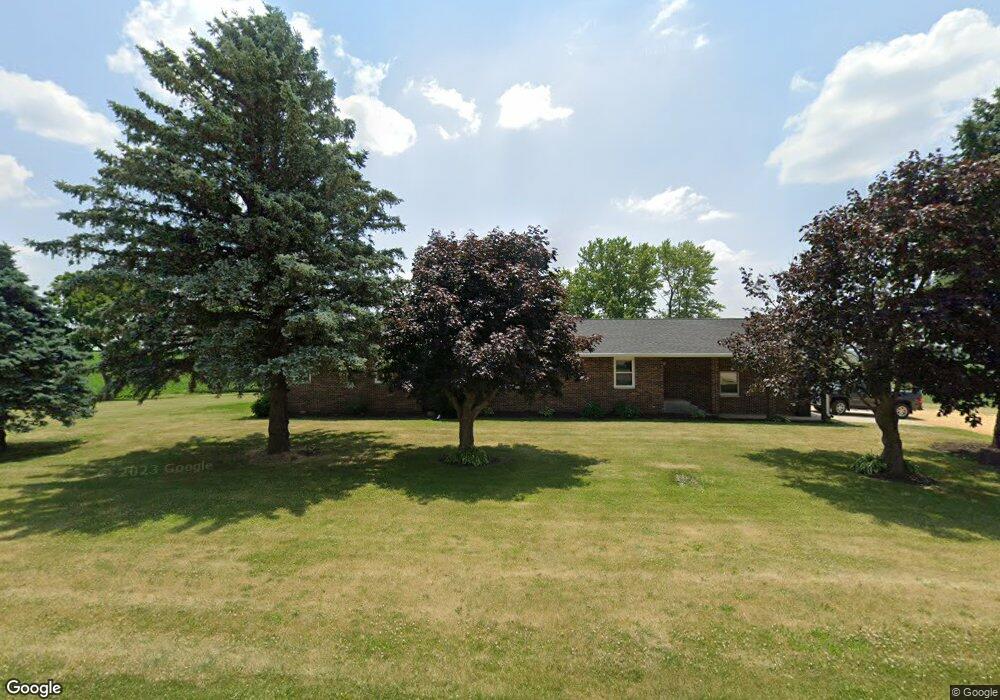
12803 W Town Line Rd Forreston, IL 61030
Estimated Value: $229,000 - $306,000
--
Bed
--
Bath
--
Sq Ft
5
Acres
About This Home
This home is located at 12803 W Town Line Rd, Forreston, IL 61030 and is currently estimated at $269,822. 12803 W Town Line Rd is a home with nearby schools including Forreston High School.
Ownership History
Date
Name
Owned For
Owner Type
Purchase Details
Closed on
Jun 23, 2017
Sold by
Wubbena Joan L
Bought by
Rusnak Bradley T and Rusnak Angela L
Current Estimated Value
Create a Home Valuation Report for This Property
The Home Valuation Report is an in-depth analysis detailing your home's value as well as a comparison with similar homes in the area
Home Values in the Area
Average Home Value in this Area
Purchase History
| Date | Buyer | Sale Price | Title Company |
|---|---|---|---|
| Rusnak Bradley T | -- | -- |
Source: Public Records
Tax History Compared to Growth
Tax History
| Year | Tax Paid | Tax Assessment Tax Assessment Total Assessment is a certain percentage of the fair market value that is determined by local assessors to be the total taxable value of land and additions on the property. | Land | Improvement |
|---|---|---|---|---|
| 2024 | $4,775 | $69,718 | $17,005 | $52,713 |
| 2023 | $4,411 | $65,029 | $15,861 | $49,168 |
| 2022 | $4,072 | $59,502 | $14,513 | $44,989 |
| 2021 | $3,058 | $45,686 | $6,915 | $38,771 |
| 2020 | $2,984 | $44,842 | $6,757 | $38,085 |
| 2019 | $2,898 | $43,000 | $6,468 | $36,532 |
| 2018 | $2,720 | $40,288 | $6,066 | $34,222 |
| 2017 | $2,635 | $38,520 | $5,794 | $32,726 |
| 2016 | $2,709 | $37,718 | $5,759 | $31,959 |
| 2015 | $2,487 | $37,059 | $5,727 | $31,332 |
| 2014 | $2,486 | $37,037 | $5,705 | $31,332 |
| 2013 | $2,586 | $37,510 | $5,652 | $31,858 |
Source: Public Records
Map
Nearby Homes
- 404 E Willow St
- 411 S Walnut Ave
- 406 W Balsam St
- 304 Maple Ave
- 603 E Hewitt St
- 603 Hewitt St
- 601 Hewitt St
- 613 & 615 Hewitt St
- 617 & 619 Hewitt St
- 609 & 611 Hewitt St
- 605 & 607 Hewitt St
- 701 Hewitt St
- 703 Hewitt St
- 702 Hewitt St
- 706 Hewitt St
- 3703 Main St
- 7965 N Adeline Rd
- 10225 N Brookville Rd
- 31457 Straw School Rd
- 10385 N Rock City Rd
- 12944 W Town Line Rd
- 8844 Townline Rd W(5+ac
- Per Lot/// Hewitt St
- TBD 2 28 Acres
- TBD W Lanark Rd
- 12744 W Town Line Rd
- 7160 N Il Route 26
- 7098 Illinois 26
- 7098 N Il Route 26
- 7039 N Il Route 26
- 7063 N Il Route 26
- 113 S Prairie Ct
- 111 S Prairie Ct
- 117 S Prairie Ct
- 109 S Prairie Ct
- 107 S Prairie Ct
- 110 S Prairie Ct
- 117 N Prairie Dr
- 106 S Prairie Ct
- 115 N Prairie Dr