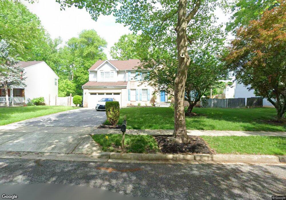
12804 Rhine Rd Upper Marlboro, MD 20772
Estimated Value: $596,000 - $739,000
--
Bed
3
Baths
3,260
Sq Ft
$200/Sq Ft
Est. Value
About This Home
This home is located at 12804 Rhine Rd, Upper Marlboro, MD 20772 and is currently estimated at $651,529, approximately $199 per square foot. 12804 Rhine Rd is a home located in Prince George's County with nearby schools including Barack Obama Elementary School, James Madison Middle School, and Dr. Henry A. Wise Jr. High School.
Ownership History
Date
Name
Owned For
Owner Type
Purchase Details
Closed on
Feb 8, 2002
Sold by
Sanders Alvin G
Bought by
Scott Chester L and Scott Francine G
Current Estimated Value
Purchase Details
Closed on
Dec 19, 1994
Sold by
Richmond American Homes Maryland
Bought by
Sanders Alvin G
Home Financials for this Owner
Home Financials are based on the most recent Mortgage that was taken out on this home.
Original Mortgage
$203,000
Interest Rate
9.03%
Create a Home Valuation Report for This Property
The Home Valuation Report is an in-depth analysis detailing your home's value as well as a comparison with similar homes in the area
Home Values in the Area
Average Home Value in this Area
Purchase History
| Date | Buyer | Sale Price | Title Company |
|---|---|---|---|
| Scott Chester L | $265,000 | -- | |
| Sanders Alvin G | $218,000 | -- |
Source: Public Records
Mortgage History
| Date | Status | Borrower | Loan Amount |
|---|---|---|---|
| Previous Owner | Sanders Alvin G | $203,000 |
Source: Public Records
Tax History Compared to Growth
Tax History
| Year | Tax Paid | Tax Assessment Tax Assessment Total Assessment is a certain percentage of the fair market value that is determined by local assessors to be the total taxable value of land and additions on the property. | Land | Improvement |
|---|---|---|---|---|
| 2025 | $6,845 | $601,600 | $126,700 | $474,900 |
| 2024 | $6,845 | $542,833 | $0 | $0 |
| 2023 | $6,496 | $484,067 | $0 | $0 |
| 2022 | $6,099 | $425,300 | $101,700 | $323,600 |
| 2021 | $5,861 | $412,067 | $0 | $0 |
| 2020 | $5,763 | $398,833 | $0 | $0 |
| 2019 | $5,631 | $385,600 | $100,800 | $284,800 |
| 2018 | $5,459 | $370,233 | $0 | $0 |
| 2017 | $5,320 | $354,867 | $0 | $0 |
| 2016 | -- | $339,500 | $0 | $0 |
| 2015 | $5,422 | $339,500 | $0 | $0 |
| 2014 | $5,422 | $339,500 | $0 | $0 |
Source: Public Records
Map
Nearby Homes
- 13139 Ripon Place
- 4655 Penzance Place
- 4411 Beckenham Place
- 13560 Lord Sterling Place
- 13550 Lord Sterling Place
- 13606 Lord Sterling Place
- 13602 Lord Sterling Place
- 13538 Lord Baltimore Place
- 13542 Lord Baltimore Place
- 4503 Captain Duval Dr
- 13942 King Gregory Way
- 13900 King George Way
- 13804 Carlene Dr
- 3204 Carlene Ct
- 5209 Mount Airy Ln
- 5200 Mapleshade Ln W
- 13800 Farnsworth Ln Unit 5403
- 4750 John Rogers Blvd
- 14100 Farnsworth Ln Unit 2108
- 4807 Clirieden Ln
- 12806 Rhine Rd
- 12802 Rhine Rd
- 4601 Halloran Ct
- 4603 Halloran Ct
- 12800 Rhine Rd
- 12807 Rhine Rd
- 4701 Halloran Ct
- 12803 Rhine Rd
- 12801 Rhine Rd
- 12907 Brooke Ln
- 4703 Halloran Ct
- 4010 Fox Gate Ln
- 4600 Halloran Ct
- 4008 Fox Gate Ln
- 4012 Fox Gate Ln
- 4705 Halloran Ct
- 4006 Fox Gate Ln
- 12900 Rhine Rd
- 12905 Brooke Ln
- 4014 Fox Gate Ln