Estimated Value: $190,000 - $253,000
--
Bed
2
Baths
1,924
Sq Ft
$120/Sq Ft
Est. Value
About This Home
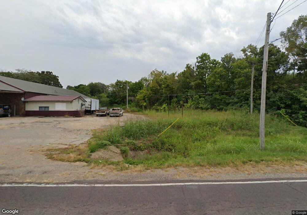
This home is located at 12805 Highway Pp, Dixon, MO 65459 and is currently estimated at $231,185, approximately $120 per square foot. 12805 Highway Pp is a home located in Pulaski County with nearby schools including Dixon Elementary School, Dixon Middle School, and Dixon High School.
Ownership History
Date
Name
Owned For
Owner Type
Purchase Details
Closed on
Oct 18, 2019
Sold by
Rae Jeremy M and Dawn-Rae Rhonda
Bought by
Stalker Gregory W and Stalker Leslieann P
Current Estimated Value
Home Financials for this Owner
Home Financials are based on the most recent Mortgage that was taken out on this home.
Original Mortgage
$143,010
Outstanding Balance
$125,522
Interest Rate
3.7%
Mortgage Type
VA
Estimated Equity
$105,663
Create a Home Valuation Report for This Property
The Home Valuation Report is an in-depth analysis detailing your home's value as well as a comparison with similar homes in the area
Home Values in the Area
Average Home Value in this Area
Purchase History
| Date | Buyer | Sale Price | Title Company |
|---|---|---|---|
| Stalker Gregory W | -- | -- |
Source: Public Records
Mortgage History
| Date | Status | Borrower | Loan Amount |
|---|---|---|---|
| Open | Stalker Gregory W | $143,010 |
Source: Public Records
Tax History Compared to Growth
Tax History
| Year | Tax Paid | Tax Assessment Tax Assessment Total Assessment is a certain percentage of the fair market value that is determined by local assessors to be the total taxable value of land and additions on the property. | Land | Improvement |
|---|---|---|---|---|
| 2024 | $1,060 | $25,751 | $3,040 | $22,711 |
| 2023 | $1,055 | $25,751 | $3,040 | $22,711 |
| 2022 | $1,054 | $25,751 | $3,040 | $22,711 |
| 2021 | $1,054 | $25,751 | $3,040 | $22,711 |
| 2020 | $1,015 | $24,670 | $0 | $0 |
| 2019 | $845 | $20,539 | $0 | $0 |
| 2018 | $844 | $20,539 | $0 | $0 |
| 2017 | $844 | $22,416 | $0 | $0 |
| 2016 | $844 | $20,540 | $0 | $0 |
| 2015 | $844 | $20,540 | $0 | $0 |
| 2014 | $844 | $20,540 | $0 | $0 |
Source: Public Records
Map
Nearby Homes
- 12705 Highway Pp
- 12726 Highway Pp
- 18447 Charity Dr
- 11525 Highway Pp
- 17485 Cashew Ln
- 13875 Highway Pp
- 13222 Hillview Ln
- 20605 Highway 28
- 20585 Highway 28
- 0 Cardinal Rd Unit MIS25035680
- Tract D Holiday Ln
- Tract C Holiday Ln
- 15216 Columbia Rd
- 0 Hank Ln
- 14390 Harvey Dr
- 14505 Harvey Dr
- 000 Clementine Outer Rd
- 21195 Highway 28
- 24900 Clementine Rd
- 13705 Hawksbill Dr
- 12805 Highway Pp
- 12805 Highway Pp
- 12775 Highway Pp
- 12775 Highway Pp
- 12875 Highway Pp
- 12875 Highway Pp
- 12755 Highway Pp
- 0XXX State Highway Pp
- 12511 Highway Pp
- 12448 Highway Pp
- 12915 Highway Pp
- 12465 Highway Pp
- 12918 Highway Pp
- 12405 Highway Pp
- 12971 Highway Pp
- 12430 Highway Pp
- 13040 Corvair Dr
- 13055 Corvair Dr
- 13050 Corvair Dr
- 13065 Corvair Dr