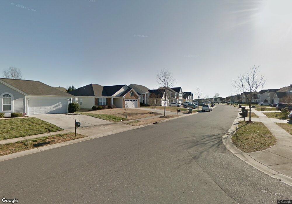
12809 Walking Stick Dr Charlotte, NC 28278
Steele Creek NeighborhoodEstimated Value: $363,000 - $387,000
3
Beds
3
Baths
1,736
Sq Ft
$218/Sq Ft
Est. Value
About This Home
This home is located at 12809 Walking Stick Dr, Charlotte, NC 28278 and is currently estimated at $378,497, approximately $218 per square foot. 12809 Walking Stick Dr is a home located in Mecklenburg County with nearby schools including Winget Park Elementary, Southwest Middle School, and Unity Classical Charter School.
Ownership History
Date
Name
Owned For
Owner Type
Purchase Details
Closed on
Nov 22, 2006
Sold by
Mulvaney Homes Inc
Bought by
Parks Ltanya A
Current Estimated Value
Home Financials for this Owner
Home Financials are based on the most recent Mortgage that was taken out on this home.
Original Mortgage
$161,735
Outstanding Balance
$96,311
Interest Rate
6.33%
Mortgage Type
Purchase Money Mortgage
Estimated Equity
$282,186
Create a Home Valuation Report for This Property
The Home Valuation Report is an in-depth analysis detailing your home's value as well as a comparison with similar homes in the area
Home Values in the Area
Average Home Value in this Area
Purchase History
| Date | Buyer | Sale Price | Title Company |
|---|---|---|---|
| Parks Ltanya A | $162,000 | Chicago Title Insurance Co |
Source: Public Records
Mortgage History
| Date | Status | Borrower | Loan Amount |
|---|---|---|---|
| Open | Parks Ltanya A | $161,735 |
Source: Public Records
Tax History Compared to Growth
Tax History
| Year | Tax Paid | Tax Assessment Tax Assessment Total Assessment is a certain percentage of the fair market value that is determined by local assessors to be the total taxable value of land and additions on the property. | Land | Improvement |
|---|---|---|---|---|
| 2025 | $2,824 | $352,700 | $80,000 | $272,700 |
| 2024 | $2,824 | $352,700 | $80,000 | $272,700 |
| 2023 | $2,726 | $352,700 | $80,000 | $272,700 |
| 2022 | $2,186 | $213,500 | $45,000 | $168,500 |
| 2021 | $2,175 | $213,500 | $45,000 | $168,500 |
| 2020 | $2,167 | $213,500 | $45,000 | $168,500 |
| 2019 | $2,152 | $213,500 | $45,000 | $168,500 |
| 2018 | $1,944 | $142,600 | $33,300 | $109,300 |
| 2017 | $1,909 | $142,600 | $33,300 | $109,300 |
| 2016 | $1,899 | $142,600 | $33,300 | $109,300 |
| 2015 | $1,888 | $142,600 | $33,300 | $109,300 |
| 2014 | $1,894 | $141,000 | $33,300 | $107,700 |
Source: Public Records
Map
Nearby Homes
- 10026 Orchard Grass Ct
- 13409 Planters Row Dr
- 10202 Orchard Grass Ct
- 12824 Harvest Time Ct
- 13716 Sunrise View Dr Unit 55
- 11719 Withers Mill Dr
- 13017 Neely Glen Dr
- 3915 Planters Watch Dr
- 7021 W Row Ave
- 12124 Avienmore Dr
- 12113 Avienmore Dr
- 12117 Avienmore Dr
- 3119 Middle St
- 3119 Middle St Unit 94
- 3103 Middle St Unit 92
- 13943 Penbury Ln Unit 376
- 13939 Penbury Ln Unit 377
- 13935 Penbury Ln Unit 378
- Norman Plan at Parkside Crossing - Village
- Badin Plan at Parkside Crossing - Village
- 12813 Walking Stick Dr
- 12803 Walking Stick Dr
- 12817 Walking Stick Dr
- 12735 Walking Stick Dr
- 12732 Beddingfield Dr
- 12800 Beddingfield Dr
- 12728 Beddingfield Dr
- 12806 Beddingfield Dr
- 12808 Walking Stick Dr Unit 251
- 12808 Walking Stick Dr
- 12808 Walking Stick Dr
- 12812 Walking Stick Dr
- 12823 Walking Stick Dr
- 12729 Walking Stick Dr
- 12802 Walking Stick Dr
- 12816 Walking Stick Dr
- 12724 Beddingfield Dr
- 12810 Beddingfield Dr
- 12820 Walking Stick Dr
- 12829 Walking Stick Dr