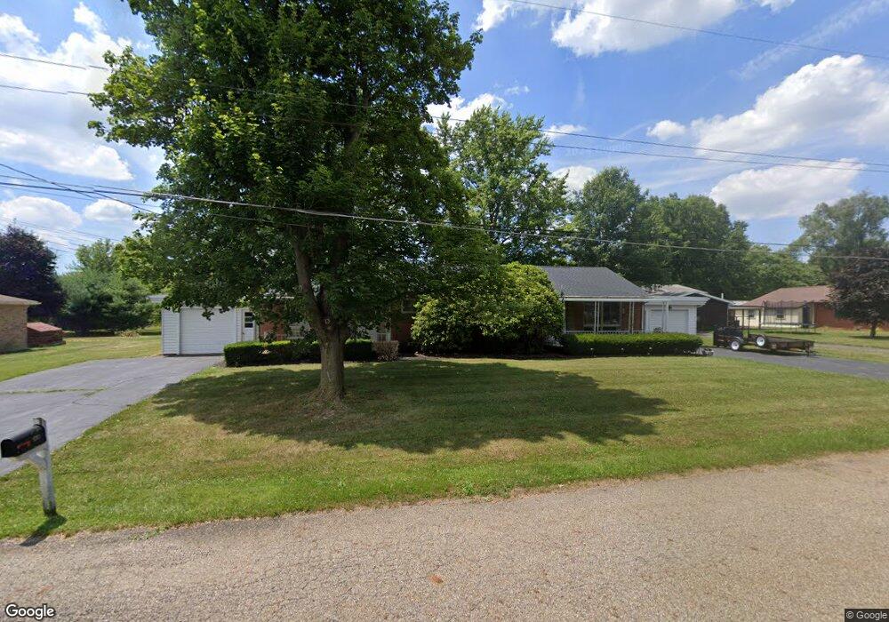
1281 Faircliff St Louisville, OH 44641
Estimated Value: $200,457 - $243,000
4
Beds
2
Baths
1,776
Sq Ft
$125/Sq Ft
Est. Value
About This Home
This home is located at 1281 Faircliff St, Louisville, OH 44641 and is currently estimated at $221,614, approximately $124 per square foot. 1281 Faircliff St is a home located in Stark County with nearby schools including Louisville High School and St. Thomas Aquinas High School & Middle School.
Ownership History
Date
Name
Owned For
Owner Type
Purchase Details
Closed on
Apr 13, 2013
Sold by
Michel Richard R and Michel Jackie A
Bought by
Ganser Robert G and Ganser Cara C
Current Estimated Value
Home Financials for this Owner
Home Financials are based on the most recent Mortgage that was taken out on this home.
Original Mortgage
$80,625
Outstanding Balance
$17,022
Interest Rate
3.46%
Mortgage Type
New Conventional
Estimated Equity
$204,592
Create a Home Valuation Report for This Property
The Home Valuation Report is an in-depth analysis detailing your home's value as well as a comparison with similar homes in the area
Home Values in the Area
Average Home Value in this Area
Purchase History
| Date | Buyer | Sale Price | Title Company |
|---|---|---|---|
| Ganser Robert G | -- | None Available |
Source: Public Records
Mortgage History
| Date | Status | Borrower | Loan Amount |
|---|---|---|---|
| Open | Ganser Robert G | $80,625 |
Source: Public Records
Tax History Compared to Growth
Tax History
| Year | Tax Paid | Tax Assessment Tax Assessment Total Assessment is a certain percentage of the fair market value that is determined by local assessors to be the total taxable value of land and additions on the property. | Land | Improvement |
|---|---|---|---|---|
| 2025 | -- | $51,880 | $19,570 | $32,310 |
| 2024 | -- | $51,880 | $19,570 | $32,310 |
| 2023 | $2,088 | $47,430 | $16,170 | $31,260 |
| 2022 | $1,047 | $47,430 | $16,170 | $31,260 |
| 2021 | $2,099 | $47,430 | $16,170 | $31,260 |
| 2020 | $1,739 | $42,530 | $14,600 | $27,930 |
| 2019 | $1,742 | $42,530 | $14,600 | $27,930 |
| 2018 | $1,741 | $42,530 | $14,600 | $27,930 |
| 2017 | $1,609 | $37,910 | $12,180 | $25,730 |
| 2016 | $1,642 | $37,910 | $12,180 | $25,730 |
| 2015 | $1,647 | $37,910 | $12,180 | $25,730 |
| 2014 | $1,572 | $33,640 | $10,820 | $22,820 |
| 2013 | $789 | $33,640 | $10,820 | $22,820 |
Source: Public Records
Map
Nearby Homes
- 524 Glenbar St
- 614 Reno Dr
- 0 Glenbar St
- 0 Brookridge Ave
- 428 Honeycrisp Dr NE
- 3047 Mcintosh Dr NE
- 432 Honeycrisp Dr NE
- 2962 Mcintosh Dr NE
- 2963 Mcintosh Dr NE
- 430 Honeycrisp Dr NE
- 2957 Mcintosh Dr NE
- 5474 Ravenna Ave
- 300 Kennedy St
- 316 E Reno Dr
- 3580 Brookridge Ave Lot 15
- 1175 Sturbridge Dr
- 1149 Sturbridge Dr
- 910 Crosswyck Cir
- 1170 Winding Ridge Ave
- 325 Lincoln Ave
- 1283 Faircliff St
- 1271 Faircliff St
- 308 Fairview St
- 1280 Faircliff St
- 1259 Faircliff St
- 1270 Faircliff St
- 1260 Faircliff St
- 514 Reno Dr
- 307 Fairview St
- 1249 Faircliff St
- 239 Fairview St
- 216 Fairview St
- 1281 Zwick Ave
- 227 Fairview St
- 1250 Faircliff St
- 1261 Zwick Ave
- 622 Reno Dr
- 206 Fairview St
- 518 Reno Dr
- 217 Fairview St