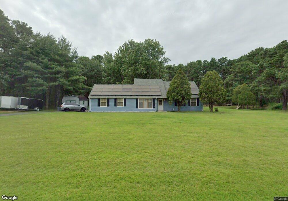
1281 Newark Ave Whiting, NJ 08759
Manchester Township NeighborhoodEstimated Value: $526,000 - $590,000
4
Beds
2
Baths
1,758
Sq Ft
$314/Sq Ft
Est. Value
About This Home
This home is located at 1281 Newark Ave, Whiting, NJ 08759 and is currently estimated at $551,845, approximately $313 per square foot. 1281 Newark Ave is a home located in Ocean County with nearby schools including Manchester Township High School.
Ownership History
Date
Name
Owned For
Owner Type
Purchase Details
Closed on
Apr 11, 2011
Sold by
Anderson Scott W and Frassetti Sarah H
Bought by
Anderson Scott W
Current Estimated Value
Purchase Details
Closed on
Jul 12, 2004
Sold by
Anderson Scott W
Bought by
Anderson Scott W and Frassetti Sara H
Purchase Details
Closed on
Dec 3, 2002
Sold by
Caffrey Robin Lee
Bought by
Anderson Scott
Home Financials for this Owner
Home Financials are based on the most recent Mortgage that was taken out on this home.
Original Mortgage
$188,000
Interest Rate
6.25%
Mortgage Type
Purchase Money Mortgage
Create a Home Valuation Report for This Property
The Home Valuation Report is an in-depth analysis detailing your home's value as well as a comparison with similar homes in the area
Home Values in the Area
Average Home Value in this Area
Purchase History
| Date | Buyer | Sale Price | Title Company |
|---|---|---|---|
| Anderson Scott W | -- | Transnation Title Ins Co | |
| Anderson Scott W | $92,550 | Transnation Title Ins Co | |
| Anderson Scott | $243,000 | Transnation Title Ins Co |
Source: Public Records
Mortgage History
| Date | Status | Borrower | Loan Amount |
|---|---|---|---|
| Previous Owner | Anderson Scott | $188,000 |
Source: Public Records
Tax History Compared to Growth
Tax History
| Year | Tax Paid | Tax Assessment Tax Assessment Total Assessment is a certain percentage of the fair market value that is determined by local assessors to be the total taxable value of land and additions on the property. | Land | Improvement |
|---|---|---|---|---|
| 2025 | $6,417 | $474,100 | $195,000 | $279,100 |
| 2024 | $6,091 | $261,400 | $85,000 | $176,400 |
| 2023 | $5,790 | $261,400 | $85,000 | $176,400 |
| 2022 | $5,790 | $261,400 | $85,000 | $176,400 |
| 2021 | $5,665 | $261,400 | $85,000 | $176,400 |
| 2020 | $5,516 | $261,400 | $85,000 | $176,400 |
| 2019 | $5,733 | $223,500 | $85,000 | $138,500 |
| 2018 | $5,710 | $223,500 | $85,000 | $138,500 |
| 2017 | $5,733 | $223,500 | $85,000 | $138,500 |
| 2016 | $5,663 | $223,500 | $85,000 | $138,500 |
| 2015 | $5,558 | $223,500 | $85,000 | $138,500 |
| 2014 | $5,444 | $223,500 | $85,000 | $138,500 |
Source: Public Records
Map
Nearby Homes
- 1751 Chilvers Ave
- 636 Petunia Ln S
- 64 Morning Glory Ln
- 8 Morning Glory Ln
- 519 Petunia La N
- 1 Morning Glory Ln
- 1561 Scranton Ave
- 401 Lily Ct
- 1360 Zeppelin Ave
- 71 Morning Glory Ln
- 166 Morning Glory Ln
- 614 Willow Ln Unit A
- 1901 Baltimore Ave
- 158 Morning Glory Ln
- 136 A Azalea Dr
- 137 Azalea Dr Unit A
- 23 Snowberry Ln Unit A
- 110 Fairway Ln Unit A
- 1130 Monroe Ave
- 1B Myrtle Place
- 1261 Newark Ave
- 1280 Newark Ave
- 1260 Brooklyn Ave
- 1260 Newark Ave
- 1241 Newark Ave
- 1240 Brooklyn Ave
- 1240 Newark Ave
- 1281 Brooklyn Ave
- 1281 Paterson Ave
- 1261 Brooklyn Ave
- 1261 Paterson Ave
- 1301 Brooklyn Ave
- 1221 Newark Ave
- 1241 Brooklyn Ave
- 1241 Paterson Ave
- 1220 Brooklyn Ave
- 1220 Newark Ave
- 1321 Brooklyn Ave
- 1321 Paterson Ave
- 1340 Brooklyn Ave