1281 S Roby Farm Rd Rocheport, MO 65279
Estimated Value: $351,000 - $434,000
2
Beds
2
Baths
1,166
Sq Ft
$333/Sq Ft
Est. Value
About This Home
This home is located at 1281 S Roby Farm Rd, Rocheport, MO 65279 and is currently estimated at $388,835, approximately $333 per square foot. 1281 S Roby Farm Rd is a home located in Boone County with nearby schools including Midway Heights Elementary School, Smithton Middle School, and David H. Hickman High School.
Ownership History
Date
Name
Owned For
Owner Type
Purchase Details
Closed on
Nov 21, 2017
Sold by
Tenny Michael A and Tenny Suzanne G
Bought by
Tenny Michael A and Tenny Suzanne G
Current Estimated Value
Purchase Details
Closed on
Sep 12, 2012
Sold by
Tenny Michael A and Tenny Sue G
Bought by
Roberts Kenneth Lloyd and Roberts James Everett
Purchase Details
Closed on
Feb 22, 2011
Sold by
Peyton Robert Lee
Bought by
Tenny Michael A and Tenny Sue G
Create a Home Valuation Report for This Property
The Home Valuation Report is an in-depth analysis detailing your home's value as well as a comparison with similar homes in the area
Home Values in the Area
Average Home Value in this Area
Purchase History
| Date | Buyer | Sale Price | Title Company |
|---|---|---|---|
| Tenny Michael A | -- | None Available | |
| Roberts Kenneth Lloyd | -- | None Available | |
| Tenny Michael A | -- | None Available |
Source: Public Records
Tax History Compared to Growth
Tax History
| Year | Tax Paid | Tax Assessment Tax Assessment Total Assessment is a certain percentage of the fair market value that is determined by local assessors to be the total taxable value of land and additions on the property. | Land | Improvement |
|---|---|---|---|---|
| 2025 | $1,524 | $23,186 | $3,578 | $19,608 |
| 2024 | $1,524 | $21,077 | $3,578 | $17,499 |
| 2023 | $1,511 | $21,077 | $3,578 | $17,499 |
| 2022 | $1,398 | $19,519 | $3,578 | $15,941 |
| 2021 | $1,401 | $19,519 | $3,578 | $15,941 |
| 2020 | $1,374 | $18,078 | $3,578 | $14,500 |
| 2019 | $1,374 | $18,078 | $3,578 | $14,500 |
| 2018 | $1,281 | $0 | $0 | $0 |
| 2017 | $1,266 | $16,745 | $3,578 | $13,167 |
| 2016 | $1,264 | $16,745 | $3,578 | $13,167 |
| 2015 | $1,168 | $16,745 | $3,578 | $13,167 |
| 2014 | $1,175 | $16,804 | $3,637 | $13,167 |
Source: Public Records
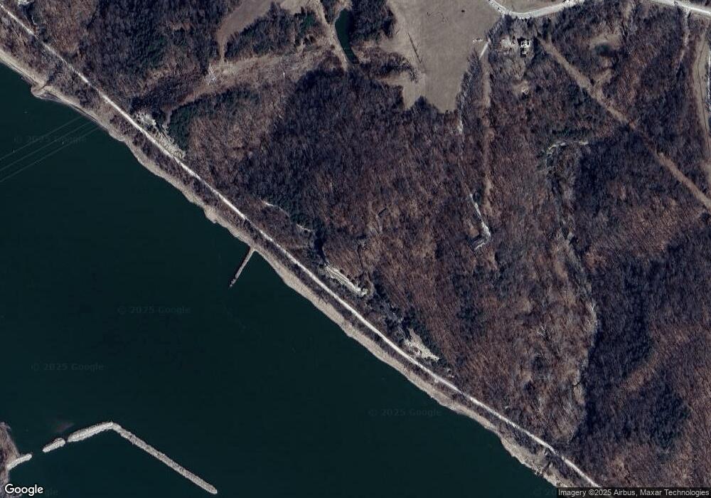
Map
Nearby Homes
- 10980 W Alexander Dr
- 25400 Silvercrest Ct
- LOT 5A N Falcon Way
- LOT 11 N Golden Eagle Ct
- LOT 10 N Golden Eagle Ct
- LOT 1 N Falcon Way
- LOT 2 N Falcon Way
- LOT 15 N Starling St
- 27200 Falcon Way
- 15904 N Golden Eagle Ct
- LOT 17 N Starling St
- LOT 16 N Golden Eagle Ct
- 000 Highway 179
- 12650 U S 40
- 102 S Gaw St
- 3360 Route O
- 4000 S Felicity Ln
- 8900 W Sontag Dr
- 7735 W Wehmeyer Rd
- 1804 SE Trails Dr
- 1285 S Roby Farm Rd
- 1301 S Roby Farm Rd
- 1201 S Roby Farm Rd
- 1190 S Roby Farm Rd
- 1321 S Roby Farm Rd
- 1475 S Roby Farm Rd
- 801 S Roby Farm Rd
- 1320 S Roby Farm Rd
- 1324 S Roby Farm Rd
- 1350 S Roby Farm Rd
- 1350 S Roby Farm Rd
- 551 S Roby Farm Rd
- 0 S Roby Farm Rd
- 16.09 ACRE S Roby Farm Rd
- 51 N Roby Farm Rd
- 2350 S Roby Farm Rd
- 2350 S Roby Farm Rd
- 10750 W Brome Rd
- 1605 S Route O
- 1605 S Route O