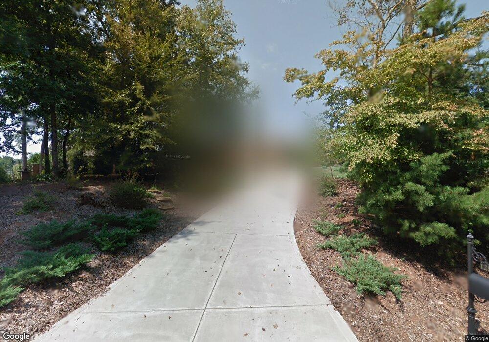
12810 Westmoreland Farm Rd Davidson, NC 28036
Estimated Value: $1,001,000 - $1,540,000
3
Beds
4
Baths
3,123
Sq Ft
$417/Sq Ft
Est. Value
About This Home
This home is located at 12810 Westmoreland Farm Rd, Davidson, NC 28036 and is currently estimated at $1,303,444, approximately $417 per square foot. 12810 Westmoreland Farm Rd is a home located in Mecklenburg County with nearby schools including Davidson Elementary School, William Amos Hough High School, and Lakeside Charter Academy.
Ownership History
Date
Name
Owned For
Owner Type
Purchase Details
Closed on
May 21, 2025
Sold by
Carothers Courtney
Bought by
Courtney Carothers Living Trust and Carothers
Current Estimated Value
Purchase Details
Closed on
Oct 19, 2004
Sold by
Herring James W and Herring Phyllis
Bought by
Carothers Jaime and Carothers Courtney
Create a Home Valuation Report for This Property
The Home Valuation Report is an in-depth analysis detailing your home's value as well as a comparison with similar homes in the area
Home Values in the Area
Average Home Value in this Area
Purchase History
| Date | Buyer | Sale Price | Title Company |
|---|---|---|---|
| Courtney Carothers Living Trust | -- | None Listed On Document | |
| Courtney Carothers Living Trust | -- | None Listed On Document | |
| Carothers Jaime | $90,000 | -- |
Source: Public Records
Tax History Compared to Growth
Tax History
| Year | Tax Paid | Tax Assessment Tax Assessment Total Assessment is a certain percentage of the fair market value that is determined by local assessors to be the total taxable value of land and additions on the property. | Land | Improvement |
|---|---|---|---|---|
| 2025 | $8,997 | $1,194,400 | $445,900 | $748,500 |
| 2024 | $8,997 | $1,194,400 | $445,900 | $748,500 |
| 2023 | $8,997 | $1,194,400 | $445,900 | $748,500 |
| 2022 | $5,704 | $601,400 | $109,200 | $492,200 |
| 2021 | $5,695 | $601,400 | $109,200 | $492,200 |
| 2020 | $5,695 | $612,400 | $109,200 | $503,200 |
| 2019 | $5,788 | $612,400 | $109,200 | $503,200 |
| 2018 | $6,343 | $521,200 | $98,700 | $422,500 |
| 2017 | $6,301 | $521,200 | $98,700 | $422,500 |
| 2016 | $6,297 | $521,200 | $98,700 | $422,500 |
| 2015 | -- | $521,200 | $98,700 | $422,500 |
| 2014 | $6,292 | $0 | $0 | $0 |
Source: Public Records
Map
Nearby Homes
- 12020 Westbranch Pkwy
- 12932 Westmoreland Farm Rd
- 920 Hudson Place
- 1425 Samuel Spencer Pkwy Unit 5
- 13112 Appolinaire Dr
- 239 Kimberly Rd
- 707 Hudson Place
- 1413 Samuel Spencer Pkwy Unit 3
- 20017 Metaphor Mews None
- High Rock Plan at Davidson Woods
- Hickory Plan at Davidson Woods
- Glenville Plan at Davidson Woods
- 11610 Westbranch Pkwy
- 19134 Newburg Hill Rd
- 10922 Zac Hill Rd
- 1418 Samuel Spencer Pkwy
- 1430 Samuel Spencer Pkwy Unit 13
- 19110 Newburg Hill Rd
- 19048 Newburg Hill Rd
- 19044 Newburg Hill Rd
- 12820 Westmoreland Farm Rd
- 4.6 ac Westmoreland Farm Rd
- 4.6 ac Westmoreland Farm Rd Unit 4.6 acres
- 12806 Westmoreland Farm Rd
- 5.1 ac Westmoreland Farm Rd
- 12801 Westmoreland Farm Rd
- 12828 Westmoreland Farm Rd
- 12805 Westmoreland Farm Rd
- 12831 Westmoreland Farm Rd
- 12834 Westmoreland Farm Rd
- 437 Hudson Place Unit 16
- 425 Hudson Place Unit 14
- 445 Hudson Place Unit 17
- 431 Hudson Place
- 12851 Westmoreland Farm Rd
- 419 Hudson Place
- 501 Hudson Place Unit 18
- 413 Hudson Place
- 505 Hudson Place Unit 19
- 12333 Westbranch Pkwy