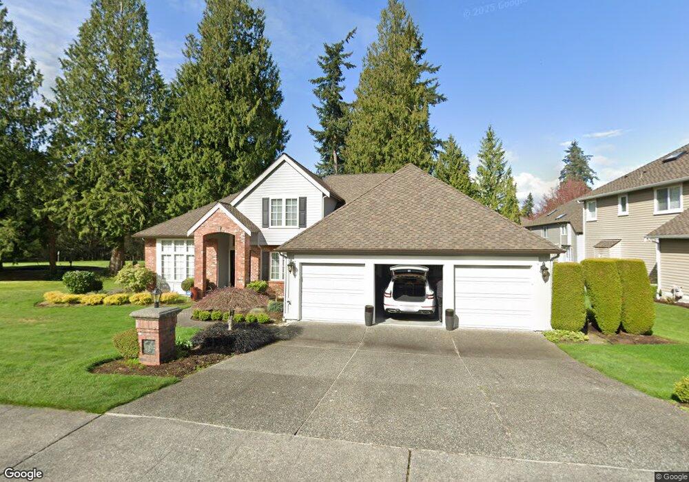
12812 60th Ave W Mukilteo, WA 98275
Harbour Pointe NeighborhoodEstimated Value: $1,318,000 - $1,459,000
3
Beds
3
Baths
2,928
Sq Ft
$471/Sq Ft
Est. Value
About This Home
This home is located at 12812 60th Ave W, Mukilteo, WA 98275 and is currently estimated at $1,378,470, approximately $470 per square foot. 12812 60th Ave W is a home located in Snohomish County with nearby schools including Endeavour Elementary School, Harbour Pointe Middle School, and Kamiak High School.
Ownership History
Date
Name
Owned For
Owner Type
Purchase Details
Closed on
Aug 3, 1999
Sold by
Chatzauk Frances M
Bought by
Santti Dale G and Robertson Kathleen M
Current Estimated Value
Home Financials for this Owner
Home Financials are based on the most recent Mortgage that was taken out on this home.
Original Mortgage
$125,000
Outstanding Balance
$33,402
Interest Rate
6.75%
Estimated Equity
$1,345,068
Create a Home Valuation Report for This Property
The Home Valuation Report is an in-depth analysis detailing your home's value as well as a comparison with similar homes in the area
Home Values in the Area
Average Home Value in this Area
Purchase History
| Date | Buyer | Sale Price | Title Company |
|---|---|---|---|
| Santti Dale G | $420,000 | First American Title Co |
Source: Public Records
Mortgage History
| Date | Status | Borrower | Loan Amount |
|---|---|---|---|
| Open | Santti Dale G | $125,000 |
Source: Public Records
Tax History Compared to Growth
Tax History
| Year | Tax Paid | Tax Assessment Tax Assessment Total Assessment is a certain percentage of the fair market value that is determined by local assessors to be the total taxable value of land and additions on the property. | Land | Improvement |
|---|---|---|---|---|
| 2025 | $8,271 | $1,204,300 | $600,300 | $604,000 |
| 2024 | $8,271 | $1,141,000 | $565,800 | $575,200 |
| 2023 | $8,861 | $1,262,000 | $567,600 | $694,400 |
| 2022 | $7,947 | $971,400 | $394,000 | $577,400 |
| 2020 | $6,991 | $859,800 | $364,000 | $495,800 |
| 2019 | $6,651 | $836,900 | $326,000 | $510,900 |
| 2018 | $7,121 | $777,200 | $316,000 | $461,200 |
| 2017 | $6,387 | $724,600 | $295,000 | $429,600 |
| 2016 | $6,039 | $681,600 | $270,000 | $411,600 |
| 2015 | $6,352 | $644,600 | $257,000 | $387,600 |
| 2013 | $5,730 | $543,400 | $242,000 | $301,400 |
Source: Public Records
Map
Nearby Homes
- 12807 60th Ave W
- 6509 128th Place SW
- 6523 128th Place SW
- 12117 Clearview Dr
- 6625 136th Place SW
- 12303 Harbour Pointe Blvd Unit W101
- 13802 60th Ave W
- 12011 Marine View Dr
- 11902 Possession Ln
- 13813 68th Ave W
- 5119 136th St SW
- 12104 Possession Ln
- 6306 141st St SW
- 11521 Pine Ct Unit 4
- 6730 139th Place SW
- 12058 Concord Way
- 13303 48th Place W
- 4818 Pointes Dr
- 14019 52nd Ave W Unit B
- 11702 Wilmington Way
- 12808 60th Ave W
- 6007 128th St SW
- 12815 60th Ave W
- 12819 60th Ave W
- 6011 128th St SW
- 12811 60th Ave W
- 12730 60th Ave W
- 12735 61st Ave W
- 12823 60th Ave W
- 6105 128th St SW
- 12820 60th Ave W
- 12733 60th Ave W
- 12827 60th Ave W
- 12731 61st Ave W
- 12824 60th Ave W
- 12732 61st Ave W
- 12729 60th Ave W
- 12722 60th Ave W
- 12728 61st Ave W