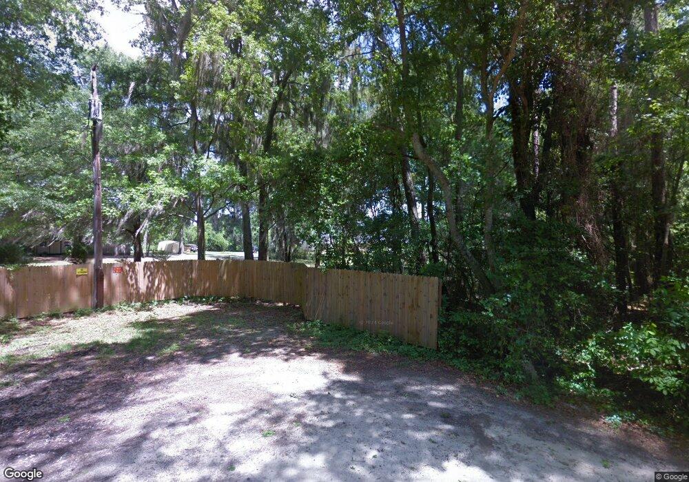
12814 S County Road 10a Wellborn, FL 32094
Estimated Value: $404,000 - $665,000
--
Bed
--
Bath
2,847
Sq Ft
$190/Sq Ft
Est. Value
About This Home
This home is located at 12814 S County Road 10a, Wellborn, FL 32094 and is currently estimated at $541,973, approximately $190 per square foot. 12814 S County Road 10a is a home located in Suwannee County with nearby schools including Suwannee Riverside Elementary School, Suwannee Springcrest Elementary School, and Suwannee Pineview Elementary School.
Ownership History
Date
Name
Owned For
Owner Type
Purchase Details
Closed on
Nov 23, 2005
Sold by
Andrews Michael D and Andrews Terri M
Bought by
Mtm Properties Llc
Current Estimated Value
Home Financials for this Owner
Home Financials are based on the most recent Mortgage that was taken out on this home.
Original Mortgage
$81,000
Outstanding Balance
$44,381
Interest Rate
6.04%
Mortgage Type
Construction
Estimated Equity
$497,592
Create a Home Valuation Report for This Property
The Home Valuation Report is an in-depth analysis detailing your home's value as well as a comparison with similar homes in the area
Home Values in the Area
Average Home Value in this Area
Purchase History
| Date | Buyer | Sale Price | Title Company |
|---|---|---|---|
| Mtm Properties Llc | -- | Title Offices Llc |
Source: Public Records
Mortgage History
| Date | Status | Borrower | Loan Amount |
|---|---|---|---|
| Open | Mtm Properties Llc | $81,000 |
Source: Public Records
Tax History Compared to Growth
Tax History
| Year | Tax Paid | Tax Assessment Tax Assessment Total Assessment is a certain percentage of the fair market value that is determined by local assessors to be the total taxable value of land and additions on the property. | Land | Improvement |
|---|---|---|---|---|
| 2024 | $2,305 | $496,198 | $170,107 | $326,091 |
| 2023 | $2,305 | $170,998 | $0 | $0 |
| 2022 | $2,239 | $348,573 | $107,750 | $240,823 |
| 2021 | $2,224 | $283,138 | $67,630 | $215,508 |
| 2020 | $2,058 | $158,957 | $0 | $0 |
| 2019 | $2,022 | $155,383 | $0 | $0 |
| 2018 | $1,979 | $152,486 | $0 | $0 |
| 2017 | $1,961 | $149,350 | $0 | $0 |
| 2016 | $1,958 | $146,279 | $0 | $0 |
| 2015 | $1,886 | $140,484 | $0 | $0 |
| 2014 | $1,896 | $139,370 | $0 | $0 |
Source: Public Records
Map
Nearby Homes
- 0 Us-90 Unit 114370
- LOT 2 Beulah Estates
- 12655 Cr 137
- 12437 County Road 137
- TBD Us 90
- 2752 140th Terrace
- 786 SW Bozeman Ct
- 13236 County Road 137
- TBD SW Bozeman Ct
- 182 SW Mikes Glen
- 344 SW Bozeman Ct
- TBD Osceola Rd Lot 1 - 4
- TBD Osceola Rd Lot 2 - 5
- TBD Osceola Rd Lot 2 B 4
- TBD SW Mossy Oak Way
- 125 SW Mallard Glen
- 15063 29th Rd
- 0 Mayo Rd Unit 128525
- 174 SW Mcelroy Ct
- 0 SW Mayo Rd
- 12832 27th Dr
- 12818 S County Road 10a
- 12860 27th Dr
- 12888 27th Dr
- 12897 27th Dr
- 13017 27th Dr
- 2753 130th Terrace
- 2765 130th Terrace
- 13025 27th Dr
- 2905 130th Terrace
- 2951 130th Terrace
- 2707 130th Terrace
- 2701 130th Terrace
- 12224 S County Road 10a
- 12456 31st Rd
- 12472 31st Rd
- 12416 31st Rd
- 12241 29th Rd
- 12429 S County Road 10a
- 13281 S County Road 10a
