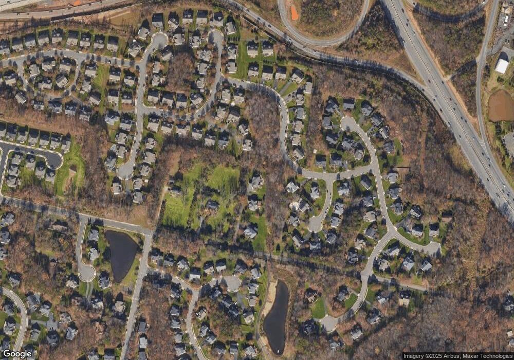
12814 Westbrook Dr Fairfax, VA 22030
Estimated Value: $1,425,000 - $1,589,000
4
Beds
5
Baths
4,748
Sq Ft
$316/Sq Ft
Est. Value
About This Home
This home is located at 12814 Westbrook Dr, Fairfax, VA 22030 and is currently estimated at $1,498,336, approximately $315 per square foot. 12814 Westbrook Dr is a home located in Fairfax County with nearby schools including Powell Elementary School, Johnson Middle School, and Fairfax High.
Ownership History
Date
Name
Owned For
Owner Type
Purchase Details
Closed on
Sep 27, 2002
Sold by
Pierce Michael
Bought by
Hernandez Monica
Current Estimated Value
Home Financials for this Owner
Home Financials are based on the most recent Mortgage that was taken out on this home.
Original Mortgage
$584,000
Outstanding Balance
$246,447
Interest Rate
6.25%
Estimated Equity
$1,251,889
Purchase Details
Closed on
Aug 11, 2000
Sold by
Nvr Inc
Bought by
Pierce Michael
Home Financials for this Owner
Home Financials are based on the most recent Mortgage that was taken out on this home.
Original Mortgage
$517,358
Interest Rate
8.13%
Create a Home Valuation Report for This Property
The Home Valuation Report is an in-depth analysis detailing your home's value as well as a comparison with similar homes in the area
Home Values in the Area
Average Home Value in this Area
Purchase History
| Date | Buyer | Sale Price | Title Company |
|---|---|---|---|
| Hernandez Monica | $730,000 | -- | |
| Pierce Michael | $646,698 | -- |
Source: Public Records
Mortgage History
| Date | Status | Borrower | Loan Amount |
|---|---|---|---|
| Open | Hernandez Monica | $584,000 | |
| Previous Owner | Pierce Michael | $517,358 |
Source: Public Records
Tax History Compared to Growth
Tax History
| Year | Tax Paid | Tax Assessment Tax Assessment Total Assessment is a certain percentage of the fair market value that is determined by local assessors to be the total taxable value of land and additions on the property. | Land | Improvement |
|---|---|---|---|---|
| 2025 | $14,665 | $1,370,560 | $361,000 | $1,009,560 |
| 2024 | $14,665 | $1,265,890 | $336,000 | $929,890 |
| 2023 | $14,286 | $1,265,890 | $336,000 | $929,890 |
| 2022 | $12,673 | $1,108,300 | $286,000 | $822,300 |
| 2021 | $11,127 | $948,180 | $256,000 | $692,180 |
| 2020 | $11,111 | $938,800 | $253,000 | $685,800 |
| 2019 | $10,604 | $895,980 | $253,000 | $642,980 |
| 2018 | $10,304 | $895,980 | $253,000 | $642,980 |
| 2017 | $10,402 | $895,980 | $253,000 | $642,980 |
| 2016 | $10,380 | $895,980 | $253,000 | $642,980 |
| 2015 | $9,564 | $857,020 | $253,000 | $604,020 |
| 2014 | $8,969 | $805,500 | $241,000 | $564,500 |
Source: Public Records
Map
Nearby Homes
- 12807 Owens Glen Dr
- 5013 Devin Green Ln
- 12582 Birkdale Way
- 5019 Village Fountain Place
- 4443 Fair Stone Dr Unit 304
- 13085 Autumn Woods Way Unit 305
- 4417 Fair Stone Dr Unit 104
- 5001 Greenhouse Terrace
- 4405 Fair Stone Dr Unit 201
- 4651 Red Admiral Way Unit 157
- 5413 Sandy Point Ln
- 12887 Fair Briar Ln
- 4618 Superior Square
- 13006 Pebblestone Ct
- 12799 Fair Briar Ln
- 12805 Fair Briar Ln
- 4490 Market Commons Dr Unit 202
- 4490 Market Commons Dr Unit 602
- 4490 Market Commons Dr Unit 302
- 12892 Fair Briar Ln
- 12812 Westbrook Dr
- 4953 Brook Forest Dr
- 4955 Brook Forest Dr Unit 8
- 4955 Brook Forest Dr
- 4923 Sammy Joe Dr
- 4951 Brook Forest Dr
- 4951 Brook Forest Dr Unit 10
- 12810 Westbrook Dr
- 12816 Westbrook Dr
- 4904 Elsa Ct
- 4906 Elsa Ct
- 4925 Sammy Joe Dr
- 12808 Owens Glen Dr
- 4921 Sammy Joe Dr
- 12805 Owens Glen Dr
- 12810 Owens Glen Dr
- 4927 Sammy Joe Dr
- 4959 Brook Forest Dr
- 4950 Brook Forest Dr Unit 5
- 4950 Brook Forest Dr
