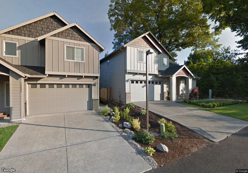
12816 SW King Place Tigard, Or, OR 97223
Derry Dell NeighborhoodEstimated Value: $634,537 - $704,000
4
Beds
3
Baths
2,365
Sq Ft
$284/Sq Ft
Est. Value
About This Home
This home is located at 12816 SW King Place, Tigard, Or, OR 97223 and is currently estimated at $672,134, approximately $284 per square foot. 12816 SW King Place is a home located in Washington County with nearby schools including Charles F. Tigard Elementary School, Thomas R. Fowler Middle School, and Tigard High School.
Ownership History
Date
Name
Owned For
Owner Type
Purchase Details
Closed on
Oct 10, 2016
Sold by
Pacific Evergreen Homes Llc
Bought by
Pauley John A and Pauley Samantha F
Current Estimated Value
Home Financials for this Owner
Home Financials are based on the most recent Mortgage that was taken out on this home.
Original Mortgage
$413,910
Outstanding Balance
$331,826
Interest Rate
3.46%
Mortgage Type
New Conventional
Estimated Equity
$340,308
Create a Home Valuation Report for This Property
The Home Valuation Report is an in-depth analysis detailing your home's value as well as a comparison with similar homes in the area
Home Values in the Area
Average Home Value in this Area
Purchase History
| Date | Buyer | Sale Price | Title Company |
|---|---|---|---|
| Pauley John A | $459,900 | First American |
Source: Public Records
Mortgage History
| Date | Status | Borrower | Loan Amount |
|---|---|---|---|
| Open | Pauley John A | $413,910 |
Source: Public Records
Tax History Compared to Growth
Tax History
| Year | Tax Paid | Tax Assessment Tax Assessment Total Assessment is a certain percentage of the fair market value that is determined by local assessors to be the total taxable value of land and additions on the property. | Land | Improvement |
|---|---|---|---|---|
| 2025 | $6,299 | $369,450 | -- | -- |
| 2024 | $6,130 | $358,690 | -- | -- |
| 2023 | $6,130 | $348,250 | $0 | $0 |
| 2022 | $5,954 | $348,250 | $0 | $0 |
| 2021 | $5,804 | $328,270 | $0 | $0 |
| 2020 | $5,630 | $318,710 | $0 | $0 |
| 2019 | $5,386 | $309,430 | $0 | $0 |
| 2018 | $5,168 | $300,420 | $0 | $0 |
| 2017 | $4,981 | $291,670 | $0 | $0 |
| 2016 | $1,643 | $97,800 | $0 | $0 |
Source: Public Records
Map
Nearby Homes
- 10097 SW Woodard Ln
- 10635 SW Watkins Place
- 13235 SW Ash Dr
- 12065 SW Karol Ct
- 11010 SW Fonner St
- 13465 SW 107th Ave
- 10985 SW Mira Ct
- 10455 SW Meadow St
- 10200 SW Tigard St
- 12393 SW 114th Terrace
- 9270 SW Edgewood St
- 13979 SW 95th Ave
- 12557 SW 115th Ave
- 9096 SW Omara St
- 9552 SW McDonald St
- 14180 SW 103rd Ave
- 11464 SW 96th Ave
- 11355 SW 97th Ct
- 11220 SW Buffalo Place
- 14345 SW 100th Ave
- 12802 SW King Place
- 12802 SW King Ct
- 10160 SW Walnut St
- 12772 SW King Ct
- 12825 SW Grant Ave
- 12764 SW King Ct
- 12764 SW King Ct
- 12815 SW Grant Ave
- 12793 SW King Place
- 12758 SW King Ct
- 12758 SW King Ct
- 12805 SW Grant Ave
- 10200 SW Walnut St
- 12840 SW Grant Ave
- 10140 SW Walnut St
- 10120 SW Walnut St
- 10100 SW Walnut St
- 12801 SW Grant Ave
- 12670 SW Watkins Ave
- 12820 SW Grant Ave