12819 Tr 209 Kenton, OH 43326
Estimated Value: $286,000 - $394,580
3
Beds
2
Baths
3,136
Sq Ft
$107/Sq Ft
Est. Value
About This Home
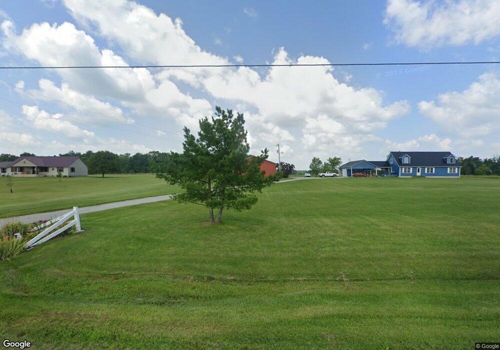
This home is located at 12819 Tr 209, Kenton, OH 43326 and is currently estimated at $335,860, approximately $107 per square foot. 12819 Tr 209 is a home with nearby schools including Kenton Elementary School, Kenton Middle School, and Kenton High School.
Ownership History
Date
Name
Owned For
Owner Type
Purchase Details
Closed on
Feb 22, 2008
Sold by
Logan Brenda L
Bought by
Logan John M
Current Estimated Value
Home Financials for this Owner
Home Financials are based on the most recent Mortgage that was taken out on this home.
Original Mortgage
$180,000
Outstanding Balance
$111,925
Interest Rate
5.79%
Mortgage Type
New Conventional
Estimated Equity
$223,935
Purchase Details
Closed on
Oct 2, 1998
Bought by
Logan John M and Logan Brenda L
Create a Home Valuation Report for This Property
The Home Valuation Report is an in-depth analysis detailing your home's value as well as a comparison with similar homes in the area
Purchase History
| Date | Buyer | Sale Price | Title Company |
|---|---|---|---|
| Logan John M | -- | None Available | |
| Logan John M | $17,000 | -- |
Source: Public Records
Mortgage History
| Date | Status | Borrower | Loan Amount |
|---|---|---|---|
| Open | Logan John M | $180,000 |
Source: Public Records
Tax History
| Year | Tax Paid | Tax Assessment Tax Assessment Total Assessment is a certain percentage of the fair market value that is determined by local assessors to be the total taxable value of land and additions on the property. | Land | Improvement |
|---|---|---|---|---|
| 2024 | $4,163 | $93,470 | $10,850 | $82,620 |
| 2023 | $4,217 | $93,470 | $10,850 | $82,620 |
| 2022 | $3,574 | $75,400 | $7,770 | $67,630 |
| 2021 | $3,596 | $75,400 | $7,770 | $67,630 |
| 2020 | $3,131 | $75,400 | $7,770 | $67,630 |
| 2019 | $2,494 | $62,480 | $7,560 | $54,920 |
| 2018 | $2,512 | $62,480 | $7,560 | $54,920 |
| 2017 | $2,307 | $62,780 | $7,560 | $55,220 |
| 2016 | $2,128 | $56,480 | $7,040 | $49,440 |
| 2015 | $2,084 | $56,480 | $7,040 | $49,440 |
| 2014 | $2,111 | $56,480 | $7,040 | $49,440 |
| 2013 | $2,448 | $62,040 | $7,040 | $55,000 |
Source: Public Records
Map
Nearby Homes
- 12891 Township Road 209
- 13750 County Road 227
- 15338 Township Road 195
- 16439 County Road 144
- 12160 Pamela Dr
- 11925 County Road 175
- 11896 Parklane Dr
- 23385 Township Road 126
- 16899 State Route 31
- 16908 County Road 190
- 501 East St
- 920 Cooper St
- 13450 State Route 292
- 820 King St
- 89 Broadway St
- 79 Broadway St
- 39 Grape St
- 619 E North St
- 510 Decatur St
- 508 Decatur St
- 12891 Tr 209
- 12787 Tr
- 12787 Township Road 209
- 12959 Tr 209
- 13039 Township Road 209
- 13081 Township Road 209
- 13165 Township Road 209
- 12483 Tr 209
- 12944 Township Road 205
- 19213 County Road 144
- 12701 Township Road 205
- 13349 Township Road 209
- 19405 County Road 144
- 13349 Tr
- 12464 Twp Rd
- 13151 Township Road 205
- 13239 Township Road 205
- 19404 County Rd
Your Personal Tour Guide
Ask me questions while you tour the home.