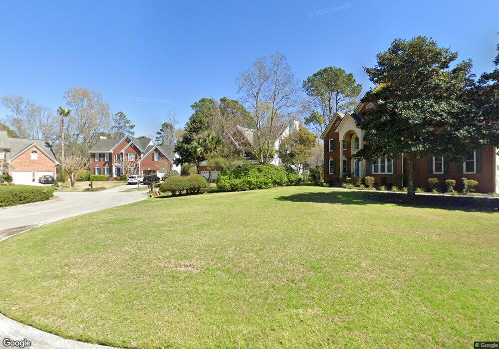
1282 Abercorn Trace Mount Pleasant, SC 29466
Brickyard NeighborhoodEstimated Value: $964,044 - $1,129,000
5
Beds
4
Baths
3,153
Sq Ft
$339/Sq Ft
Est. Value
About This Home
This home is located at 1282 Abercorn Trace, Mount Pleasant, SC 29466 and is currently estimated at $1,069,261, approximately $339 per square foot. 1282 Abercorn Trace is a home located in Charleston County with nearby schools including Jennie Moore Elementary School, Laing Middle School, and Wando High School.
Ownership History
Date
Name
Owned For
Owner Type
Purchase Details
Closed on
Jul 19, 2011
Sold by
Charen Michael N and Charen Pamela J
Bought by
Scheffer Sean W and Scheffer Laurie C
Current Estimated Value
Home Financials for this Owner
Home Financials are based on the most recent Mortgage that was taken out on this home.
Original Mortgage
$277,000
Outstanding Balance
$190,658
Interest Rate
4.52%
Mortgage Type
New Conventional
Estimated Equity
$878,603
Create a Home Valuation Report for This Property
The Home Valuation Report is an in-depth analysis detailing your home's value as well as a comparison with similar homes in the area
Home Values in the Area
Average Home Value in this Area
Purchase History
| Date | Buyer | Sale Price | Title Company |
|---|---|---|---|
| Scheffer Sean W | $427,000 | -- |
Source: Public Records
Mortgage History
| Date | Status | Borrower | Loan Amount |
|---|---|---|---|
| Open | Scheffer Sean W | $277,000 |
Source: Public Records
Tax History Compared to Growth
Tax History
| Year | Tax Paid | Tax Assessment Tax Assessment Total Assessment is a certain percentage of the fair market value that is determined by local assessors to be the total taxable value of land and additions on the property. | Land | Improvement |
|---|---|---|---|---|
| 2024 | $2,069 | $20,610 | $0 | $0 |
| 2023 | $2,069 | $20,610 | $0 | $0 |
| 2022 | $1,900 | $20,610 | $0 | $0 |
| 2021 | $2,090 | $20,610 | $0 | $0 |
| 2020 | $2,161 | $20,610 | $0 | $0 |
| 2019 | $1,946 | $18,560 | $0 | $0 |
| 2017 | $1,919 | $18,560 | $0 | $0 |
| 2016 | $1,826 | $18,560 | $0 | $0 |
| 2015 | $1,909 | $18,560 | $0 | $0 |
| 2014 | $1,710 | $0 | $0 | $0 |
| 2011 | -- | $0 | $0 | $0 |
Source: Public Records
Map
Nearby Homes
- 1264 Colfax Ct
- 1185 W Park View Place
- 1208 Wynnwood Ct
- 1166 Old Ivy Way
- 1353 Black River Dr
- 1417 S Jetties Ct
- 1365 Black River Dr
- 2770 Christ Church Ct
- 3904 Delinger Dr
- 1333 Merchant Ct
- 1263 Allusion Ln Unit 402
- 3010 Emma Ln
- 2834 Parkers Landing Rd
- 3046 Emma Ln
- 0 Coakley Rd Unit 23016313
- 1508 Rivertowne Country Club Dr
- 1460 Cardinal Hill Dr N
- 3205 Morningdale Dr
- 1320 Lexington Dr
- 1175 Dingle Rd
- 1278 Abercorn Trace
- 2705 Tybee Pass
- 1286 Abercorn Trace
- 2701 Tybee Pass
- 2709 Tybee Pass
- 1290 Abercorn Trace
- 1294 Abercorn Trace
- 2820 Gaston Gate
- 2826 Gaston Gate
- 2712 Tybee Pass
- 1295 Abercorn Trace
- 1279 Abercorn Trace
- 1275 Abercorn Trace
- 1271 Abercorn Trace
- 2708 Tybee Pass
- 2814 Gaston Gate
- 2704 Tybee Pass
- 1283 Abercorn Trace
- 1267 Abercorn Trace
- 2700 Tybee Pass