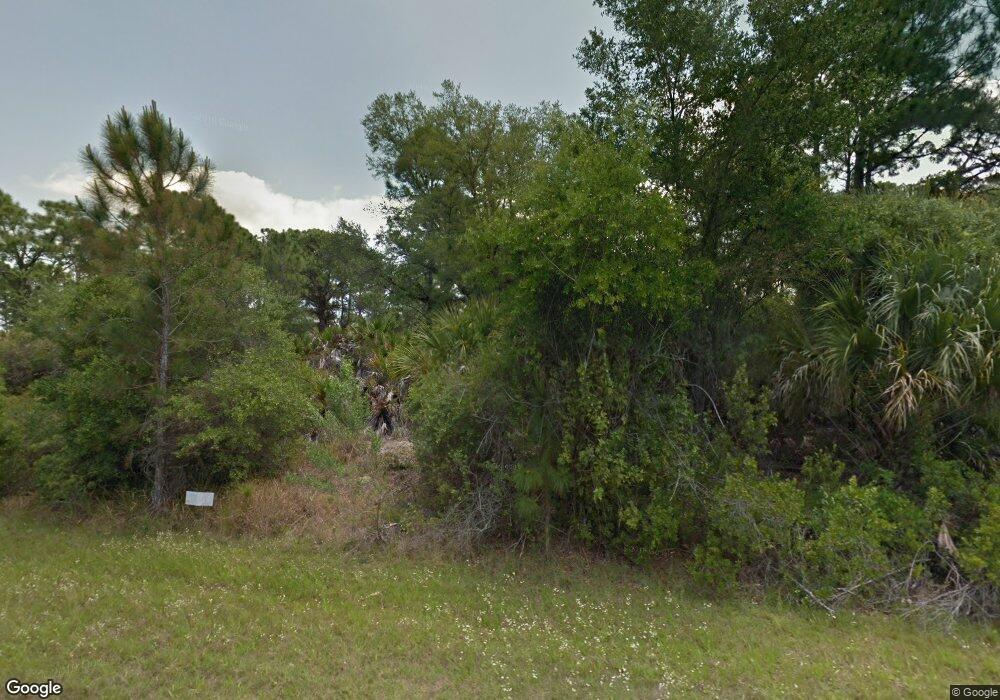
1282 Hester St Port Charlotte, FL 33953
Northwest Port Charlotte NeighborhoodEstimated Value: $47,000 - $92,000
--
Bed
--
Bath
--
Sq Ft
10,019
Sq Ft Lot
About This Home
This home is located at 1282 Hester St, Port Charlotte, FL 33953 and is currently estimated at $62,333. 1282 Hester St is a home located in Charlotte County with nearby schools including Liberty Elementary School, Murdock Middle School, and Port Charlotte High School.
Ownership History
Date
Name
Owned For
Owner Type
Purchase Details
Closed on
Oct 29, 2020
Sold by
Khosa Ashwani and Khosa Dhruav
Bought by
Jones Curtis and Jones Lynette
Current Estimated Value
Purchase Details
Closed on
Aug 22, 2011
Sold by
Florida Land & Farm Holding Inc
Bought by
Khosa Ashwani and Khosa Dhruav
Purchase Details
Closed on
Apr 23, 2010
Sold by
Lettsome Bradley D and Sherman Brent
Bought by
Florida Land & Farm Holdings Inc
Purchase Details
Closed on
Aug 11, 2003
Sold by
Sams John B
Bought by
Lettsome Bradley D and Sherradon Brent
Create a Home Valuation Report for This Property
The Home Valuation Report is an in-depth analysis detailing your home's value as well as a comparison with similar homes in the area
Home Values in the Area
Average Home Value in this Area
Purchase History
| Date | Buyer | Sale Price | Title Company |
|---|---|---|---|
| Jones Curtis | $3,900 | Title Trust Services Llc | |
| Jones Curits | $3,900 | Cooke Jana | |
| Khosa Ashwani | $3,900 | None Available | |
| Florida Land & Farm Holdings Inc | $27,500 | Down Home Title Services Inc | |
| Lettsome Bradley D | $3,500 | -- |
Source: Public Records
Tax History Compared to Growth
Tax History
| Year | Tax Paid | Tax Assessment Tax Assessment Total Assessment is a certain percentage of the fair market value that is determined by local assessors to be the total taxable value of land and additions on the property. | Land | Improvement |
|---|---|---|---|---|
| 2024 | $455 | $11,475 | $11,475 | -- |
| 2023 | $455 | $4,320 | $0 | $0 |
| 2022 | $430 | $10,200 | $10,200 | $0 |
| 2021 | $385 | $3,570 | $3,570 | $0 |
| 2020 | $377 | $3,570 | $3,570 | $0 |
| 2019 | $375 | $3,570 | $3,570 | $0 |
| 2018 | $365 | $3,315 | $3,315 | $0 |
| 2017 | $364 | $3,362 | $3,362 | $0 |
| 2016 | $360 | $3,219 | $0 | $0 |
| 2015 | $356 | $2,933 | $0 | $0 |
| 2014 | $254 | $2,912 | $0 | $0 |
Source: Public Records
Map
Nearby Homes
- 1243 Grendon St
- 1228 Casper St
- 0 Casper St
- 13437 Carrie Ave
- 14111 Gailwood Ave
- 14012 Gailwood Ave
- 1216 Jacobs St
- 14011 Canadian Ave
- 1264 Jacobs St
- 14012 Hendricks Ave
- 1157 Casper St
- 1296 Jacobs St
- 14076 Carrie Ave
- 14028 Carrie Ave
- 14020 Carrie Ave
- 14012 Carrie Ave
- 14103 Carrie Ave
- 13461 Carrie Ave
- 1273 Casper St
- 14035 Gailwood Ave
- 1243 Hester St
- 1235 Hester St
- 13470 Gailwood Ave
- 1227 Keesler St
- 13430 & 13 Gailwood Ave
- 13430 & 13438 Gailwood Ave
- 1234 Grendon St
- 1235 Keesler St
- 13437 Camden Ln
- 1290 Keesler St
- 1316 Keesler St
- 1307 Keesler St
- 1317 Keesler St
- 1306 Keesler St
- 1275 Grendon St Unit 17
- 1275 Grendon St
- 1299 Grendon St
- 1235 Grendon St
- 1282 Grendon St