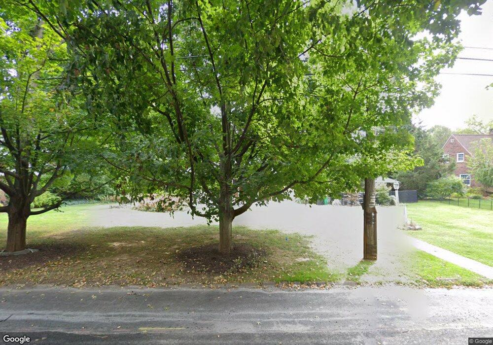
1282 Wheatland Ave Lancaster, PA 17603
West Lancaster NeighborhoodEstimated Value: $444,000 - $613,000
3
Beds
3
Baths
2,305
Sq Ft
$235/Sq Ft
Est. Value
About This Home
This home is located at 1282 Wheatland Ave, Lancaster, PA 17603 and is currently estimated at $542,243, approximately $235 per square foot. 1282 Wheatland Ave is a home located in Lancaster County with nearby schools including Smith-Wade-El Elementary School, Wheatland Middle School, and McCaskey High School.
Ownership History
Date
Name
Owned For
Owner Type
Purchase Details
Closed on
Sep 22, 1999
Sold by
Honaman Peter K
Bought by
Houston Bernard C and Houston Melinda S
Current Estimated Value
Home Financials for this Owner
Home Financials are based on the most recent Mortgage that was taken out on this home.
Original Mortgage
$124,000
Outstanding Balance
$37,552
Interest Rate
8.1%
Estimated Equity
$504,691
Create a Home Valuation Report for This Property
The Home Valuation Report is an in-depth analysis detailing your home's value as well as a comparison with similar homes in the area
Home Values in the Area
Average Home Value in this Area
Purchase History
| Date | Buyer | Sale Price | Title Company |
|---|---|---|---|
| Houston Bernard C | $155,000 | -- |
Source: Public Records
Mortgage History
| Date | Status | Borrower | Loan Amount |
|---|---|---|---|
| Open | Houston Bernard C | $124,000 |
Source: Public Records
Tax History Compared to Growth
Tax History
| Year | Tax Paid | Tax Assessment Tax Assessment Total Assessment is a certain percentage of the fair market value that is determined by local assessors to be the total taxable value of land and additions on the property. | Land | Improvement |
|---|---|---|---|---|
| 2025 | $8,989 | $311,700 | $74,800 | $236,900 |
| 2024 | $8,989 | $311,700 | $74,800 | $236,900 |
| 2023 | $8,782 | $311,700 | $74,800 | $236,900 |
| 2022 | $8,258 | $311,700 | $74,800 | $236,900 |
| 2021 | $8,009 | $311,700 | $74,800 | $236,900 |
| 2020 | $8,009 | $311,700 | $74,800 | $236,900 |
| 2019 | $7,839 | $311,700 | $74,800 | $236,900 |
| 2018 | $6,211 | $311,700 | $74,800 | $236,900 |
| 2017 | $7,552 | $231,000 | $68,300 | $162,700 |
| 2016 | $7,413 | $231,000 | $68,300 | $162,700 |
| 2015 | $1,001 | $231,000 | $68,300 | $162,700 |
| 2014 | $5,736 | $231,000 | $68,300 | $162,700 |
Source: Public Records
Map
Nearby Homes
- 1299 Hillside Dr
- 1262 Wilson Ave
- 1266 Wilson Ave
- 80 Jackson Dr
- 1428 Center Rd
- 1425 Center Rd
- 177 River Dr
- 1252 Elm Ave
- 494 Northlawn Dr
- 303 Perry Ave
- 1055 Columbia Ave
- 170 S President Ave
- 1303 Cheves Place
- 203 Greyfield Dr
- 120 Atkins Ave
- 19 Atkins Ave
- 112 Harvard Ave
- 1001 Marietta Ave
- 102 Clearfield Ct E
- 103 Jemfield Ct
- 1284 Wheatland Ave
- 1280 Wheatland Ave
- 1281 Hillside Dr
- 1285 Hillside Dr
- 1286 Wheatland Ave
- 1281 Wheatland Ave
- 1277 Wheatland Ave
- 1287 Hillside Dr
- 1290 Wheatland Ave
- 1270 Wheatland Ave
- 1275 Wheatland Ave
- 1289 Hillside Dr
- 1280 Hillside Dr
- 1276 Hillside Dr
- 1287 Wheatland Ave
- 1272 Hillside Dr
- 1294 Wheatland Ave
- 1291 Hillside Dr
- 1284 Hillside Dr
- 1271 Wheatland Ave
